Near Bluff in San Juan County, Utah — The American Mountains (Southwest)
The Rincone
Photographed by Kevin Vincent, May 29, 2026
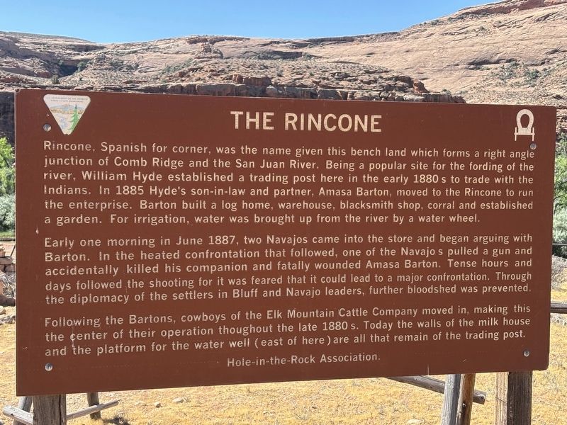
1. The Rincone Marker
Early one morning in June 1887, two Navajos came into the store and began arguing with Barton. In the heated confrontation that followed, one of the Navajos pulled a gun and accidentally killed his companion and fatally wounded Amasa Barton. Tense hours and days followed the shooting for it was feared that it could lead to a major confrontation. Through the diplomacy of the settlers in Bluff and Navajo leaders, further bloodshed was prevented.
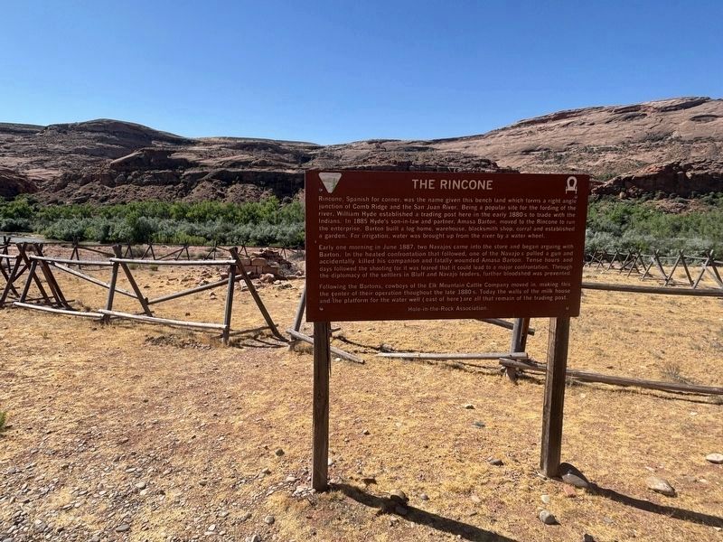
Following the Bartons, cowboys of the Elk Mountain Cattle Company moved in, making this the center of their operation thoughout the late 1880s. Today the
this page online
Erected by Hole-in-the-Rock Association.
Topics. This historical marker is listed in this topic list: Settlements & Settlers. A significant historical month for this entry is June 1887.
Location. 37° 13.185′ N, 109° 41.694′ W. Marker is near Bluff, Utah, in San Juan County. It is on Comb Wash Road. This marker is on a road that is only passable with four-wheel drive vehicles with high clearance and is primarily a hiking trail. Touch for map. Marker is at or near this postal address: Comb Wash Road, Mexican Hat UT 84531, United States of America. Touch for directions.

Regionally, this marker is in Canyon Country. It is also in the American Mountain West, on the Colorado Plateau, and at the Four Corners. Globally, it is in North America, the Western Hemisphere, the Western World, and the Anglosphere. Historically, it finds itself in what was once New Spain, the territory of the Ancestral Puebloans, and Mexico’s Alta California.

Other nearby markers. At least 8 other markers are within 9 miles of this marker,
Photographed by Kevin Vincent, May 29, 2026
2. The Rincone Marker with ruins of milk house in background
More about this marker. The "water well" referenced in the last sentence is a typo. It is actually referring to a ruined water "wheel" nearby.
Credits. This page was last revised on June 23, 2026. It was originally submitted on June 19, 2026, by Kevin Vincent of Arlington, Virginia. This page has been viewed 14 times since then. Photos: 1, 2. submitted on June 19, 2026, by Kevin Vincent of Arlington, Virginia. • Andrew Ruppenstein was the editor who published this page.
Editor’s want-list for this marker. photo of the remnants of the water wheel • Can you help?
