Folkestone in Kent, England, United Kingdom — Northwestern Europe (the British Isles)
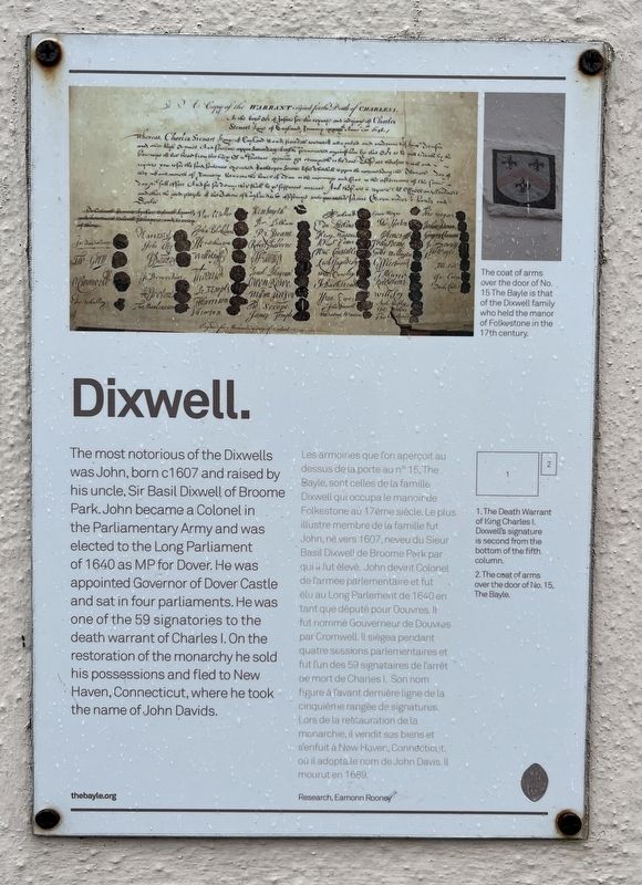
Dixwell
Photographed by Ray Gurganus, April 3, 2026
1. Dixwell Marker
Inscription.
The most notorious of the Dixwells was John, born c1607 and raised by his uncle, Sir Basil Dixwell of Broome Park. John became a Colonel in the Parliamentary Army and was elected to the Long Parliament of 1640 as MP for Dover. He was appointed Governor of Dover Castle and sat in four parliaments. He was one of the 59 signatories to the death warrant of Charles I. On the restoration of the monarchy he sold his possessions and fled to New Haven, Connecticut, where he took the name of John Davids.
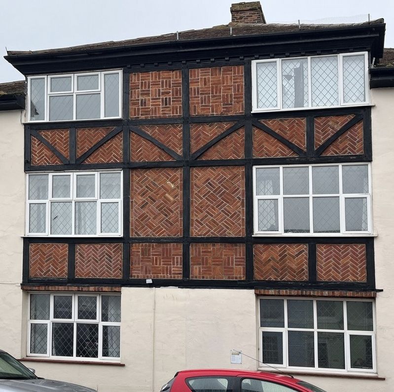
Les armoiries que l'on aperçoit au dessus de la porte au n° 15, The Bayle, sont celles de la famille Dixwell qui occupa le manoir de Folkestone au 17ème siècle. Le plus illustre membre de la famille fut John, né vers 1607, neveu du Sieur Basil Dixwell de Broome Park par qui il fut élevé. John devint Colonel de l'armée parlementaire et fut élu au Long Parlement de 1640 en tant que député pour Douvres. Il fut nommé Gouverneur de Douvres par Cromwell. Il siégea pendant quatre sessions parlementaires et fut l'un des 59 signataires de l'arrêt de mort de Charles I. Son nom figure à l'avant dernière ligne de la cinquième rangée
Click or scan to see this page online
de signatures. Lors de la restauration de la monarchie, il vendit ses biens et s'enfuit à New Haven, Connecticut, où il adopta le nom de John Davis. Il mourut en 1689.
Topics. This historical marker is listed in this topic list: Government & Politics. A significant historical year for this entry is 1607.
Location. 51° 4.765′ N, 1° 10.97′ E. Marker is in Folkestone, England, in Kent. It is on The Bayle south of Bayle Street, on the right when traveling south. Touch for map. Marker is at or near this postal address: 17 The Bayle, Folkestone, England CT20 1RW, United Kingdom. Touch for directions.
Regionally, this marker is in the Greater South East. Globally, it is on the Atlantic Ocean, in the North Atlantic Region, in Europe, in Atlantic Europe, on one of the British Isles, in the Western World, and in the Anglosphere. Historically, it finds itself in what was once the Roman Empire.
Credits. This page was last revised on June 19, 2026. It was originally submitted on June 19, 2026, by Ray Gurganus of Washington, District of Columbia. This page has been viewed 12 times since then. Photos:1, 2. submitted on June 19, 2026, by Ray Gurganus of Washington, District of Columbia. • Andrew Ruppenstein was the editor who published this page.