Trinity Without in Waterford in County Waterford, Munster, Ireland — Irish South-West ((Éire) North Atlantic Ocean)
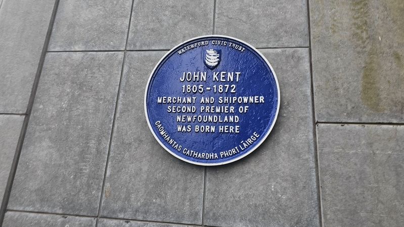
John Kent
1805–1872
Photographed by Ian Lefkowitz, May 16, 2026
1. John Kent Marker
Merchant and shipowner
Second Premier of Newfoundland
was born here
Erected by Waterford Civic Trust.
Topics. This historical marker is listed in this topic list: Government & Politics. A significant historical year for this entry is 1805.
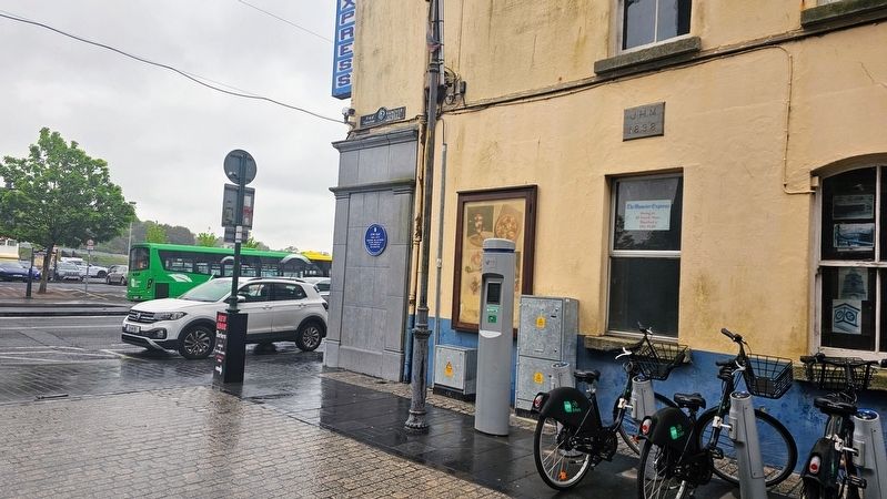
Location. 52° 15.764′ N, 7° 6.891′ W. Marker is in Waterford, Munster, in County Waterford. It is in Trinity Without. It is at the intersection of Merchants Quay and Hanover Street, on the right when traveling east on Merchants Quay. Touch for map. Marker is at or near this postal address: 18a Merchants Quay, Waterford, Munster X91 DR63, Ireland. Touch for directions.

Regionally, this marker is in the Ancient East. Globally, it is on the Atlantic Ocean, in the North Atlantic Region, in Europe, on the Island of Ireland, on the Celtic Fringe, in the European Union, in Atlantic Europe, on one of the British Isles, in the Western World, and in the Anglosphere.
Other nearby markers. At least 8 other markers are within walking distance of this marker: Jacob (about 120 meters away, measured in a direct line); Irish Freedom Memorial (about 180 meters away); Thomas Francis Meagher
this page online
Also see . . . John Kent (Newfoundland politician) (Wikipedia).
John Kent (1805 – September 1, 1872) was an Irish-born politician who served as the second Premier of the Newfoundland Colony.(Submitted on June 20, 2026, by Ian Lefkowitz of New York, New York.)
Photographed by Ian Lefkowitz, May 16, 2026
2. John Kent Marker
The marker is located along Hanover Street, visible to pedestrians walking eastward on Merchants Quay.
Credits. This page was last revised on June 20, 2026. It was originally submitted on June 20, 2026, by Ian Lefkowitz of New York, New York. This page has been viewed 11 times since then. Photos: 1, 2. submitted on June 20, 2026, by Ian Lefkowitz of New York, New York. • Andrew Ruppenstein was the editor who published this page.
