Alderson in Cypress County, Alberta — Canada’s Prairie Region (North America)
District of Alberta, 1882
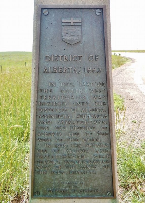
Photographed by Cosmos Mariner, June 28, 2022
1. District of Alberta, 1882 Marker
In 1882, part of the North West Territories was divided into the Districts of Alberta, Assiniboia, Athabasca and Saskatchewan. The old District of Alberta lies to the west of this cairn.
In 1905, the provinces of Alberta and Saskatchewan were created incorporating most of the lands of the four districts.
Erected by The Province of Alberta.
Topics. This historical marker is listed in this topic list: Political Subdivisions. A significant historical year for this entry is 1882.
Location. 50° 20.285′ N, 111° 22.784′ W. Marker is in Alderson, Alberta, in Cypress County. It is on Trans-Canada Highway (Provincial Highway 1) 2.2 kilometers west of Range Road 105, on the right when traveling west. The marker is in a pull-out on the north side of the highway. Touch for map. Marker is in this post office area: Alderson AB T0J 2N0, Canada. Touch for directions.

Regionally, this marker is in the Canadian Badlands. It is also in the Prairies. Globally, it is in North America, the Western Hemisphere, the Western World, and the Anglosphere. Historically, it finds itself in what was once a British colony and also Rupert’s
this page online
Other nearby markers. At least 2 other markers are within walking distance of this marker: District of Assiniboia, 1882 (here, next to this marker); The Development of an Irrigation District (here, next to this marker).
Also see . . . District of Alberta (Wikipedia).
Excerpt: The District of Alberta was a regional administrative district of Canada's North-West Territories. It served as an administrative district from 1882 until the creation of the province of Alberta in 1905. The District of Alberta and province of Alberta are named in honour of Princess Louise Caroline Alberta, the fourth daughter of Queen Victoria and Prince Albert.(Submitted on June 20, 2026, by Cosmos Mariner of Cape Canaveral, Florida.)The District of Alberta and three other provisional districts of the North-West Territories were created 8 May, 1882. The modern province of Alberta was created 1 September, 1905 from the District of Alberta and parts of the Districts of Athabasca, Assiniboia and Saskatchewan.
The boundaries of the district were: On the south, the international boundary, 49° north; On the east, the line between the 10th and 11th ranges west of the fourth meridian of the Dominion Land Survey;
On the north, the 18th correction line, approximately 55° north, now designated Township Road 710; On the west, the British Columbia boundary — the height of land of Pacific Ocean drainage and the 120th meridian west.Photographed by Cosmos Mariner, June 28, 20222. District of Alberta, 1882 MarkerLooking northeast from the Trans-Canada Highway pull-out.
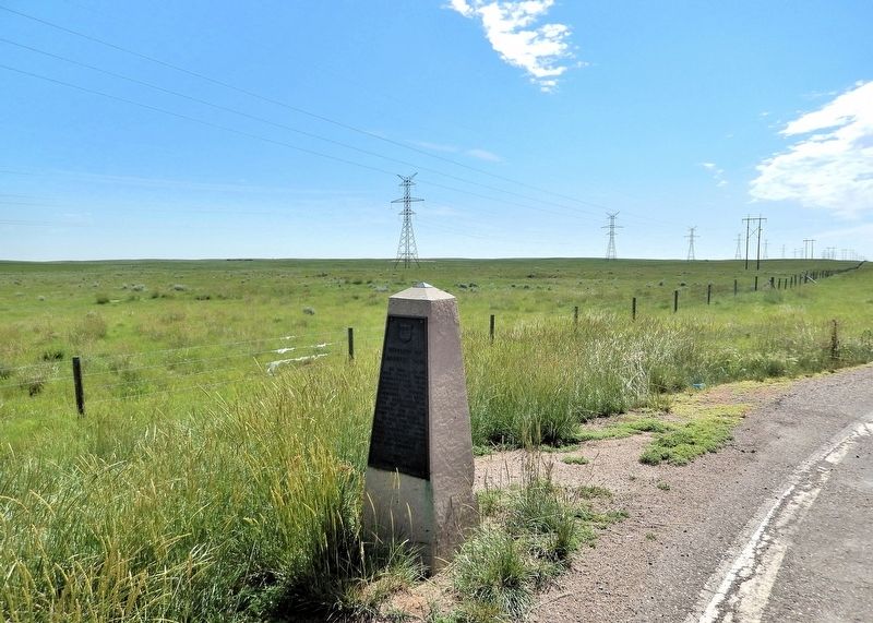
Credits. This page was last revised on June 20, 2026. It was originally submitted on June 20, 2026, by Cosmos Mariner of Cape Canaveral, Florida. This page has been viewed 14 times since then. Photos: 1, 2. submitted on June 20, 2026, by Cosmos Mariner of Cape Canaveral, Florida.
