Waterford in County Waterford, Munster, Ireland — Irish South-West ((Éire) North Atlantic Ocean)
Colbeck Gate
Photographed by Ian Lefkowitz, May 16, 2026
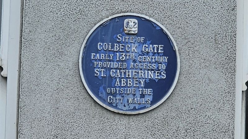
1. Colbeck Gate Marker
Colbeck Gate
Early 13th century
Provided access to
St. Catherine’s Abbey
outside the
City Walls
Topics. This historical marker is listed in this topic list: Notable Places.
Location. 52° 15.567′ N, 7° 6.496′ W. Marker is in Waterford, Munster, in County Waterford. It is on Colbeck Street south of Lady Lane, on the right when traveling south. Touch for map. Marker is at or near this postal address: 5 Colbeck St, Waterford, Munster, Ireland. Touch for directions.

Regionally, this marker is in the Ancient East. Globally, it is on the Atlantic Ocean, in the North Atlantic Region, in Europe, on the Island of Ireland, on the Celtic Fringe, in the European Union, in Atlantic Europe, on one of the British Isles, in the Western World, and in the Anglosphere.
Other nearby markers. At least 8 other markers are within walking distance of this marker: William Vincent Wallace (a few steps from this marker); Charles Kean and William Vincent Wallace (a few steps from this marker); Christ Church Cathedral (a few steps from this marker); Strongbow and Aoife (a few steps from
this page online
Also see . . . The City Walls Of Waterford (Waterford County Museum).
As the maps of the city show, the Danish wall formed a triangle. It ran from Reginald’s Tower to St. Martin’s Castle, the site of which is now the new laundry of the Lady Lane Convent, at the top of Spring Garden Alley, this being one side of the triangle. Standing on the top of Reginald’s Tower this wall may be observed at the back of the houses on the Mall, aiming towards the back portion of the City Hall, thence for Colbeck’s Gate, after which it runs between the lane known as Spring Garden Alley and Lady Lane, towards St, Martin’s Castle.(Submitted on June 21, 2026, by Ian Lefkowitz of New York, New York.)
Additional keywords. blue plaque
Photographed by Ian Lefkowitz, May 16, 2026
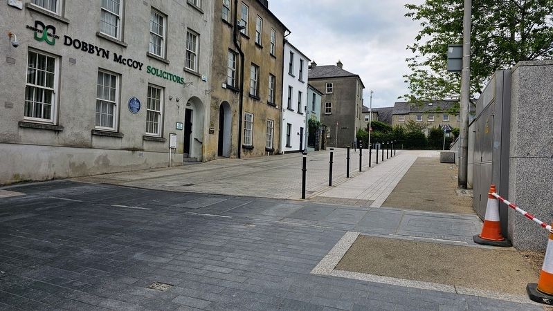
2. Colbeck Gate
There is an outline of the former location of Colbeck Gate along Colbeck Street.
Credits. This page was last revised on June 22, 2026. It was originally submitted on June 21, 2026, by Ian Lefkowitz of New York, New York. This page has been viewed 7 times since then. Photos: 1, 2. submitted on June 21, 2026, by Ian Lefkowitz of New York, New York. • Andrew Ruppenstein was the editor who published this page.
