Guildford in Surrey, England, United Kingdom — Northwestern Europe (the British Isles)
The Three Pigeons
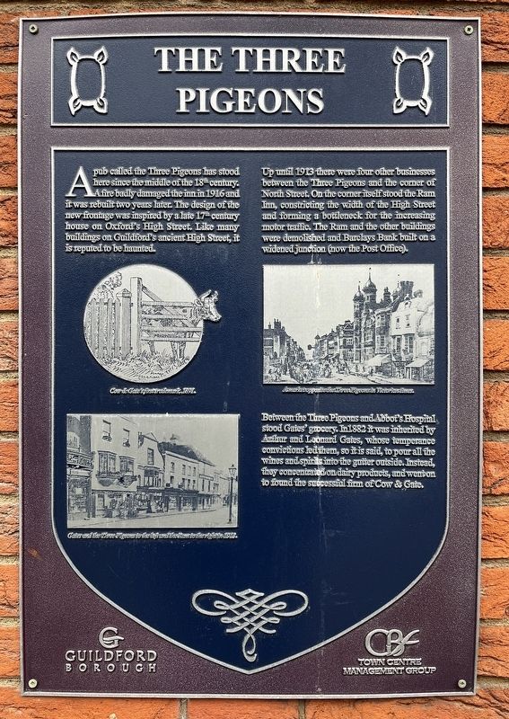
Photographed by Ray Gurganus, April 13, 2026
1. The Three Pigeons Marker
Up until 1913 there were four other businesses between the Three Pigeons and the corner of North Street. On the corner itself stood the Ram Inn, constricting the width of the High Street and forming a bottleneck for the increasing motor traffic. The Ram and the other buildings were demolished and Barclays Bank built on a widened junction (now the Post Office).
Between the Three Pigeons and Abbot's Hospital stood Gates' grocery. In 1882 it was inherited by Arthur and Leonard Gates, whose temperance convictions led them, so it is said, to pour all the wines and spirits into the gutter outside. Instead, they concentrated on dairy products, and went on to found the successful firm of Cow & Gate.
Erected by Guildford Borough.
Topics. This historical marker is listed in this
this page online
Location. 51° 14.176′ N, 0° 34.235′ W. Marker is in Guildford, England, in Surrey. It is at the intersection of High Street and North Street, on the left when traveling east on High Street. Touch for map. Marker is at or near this postal address: 169 High Street, Guildford, England GU1, United Kingdom. Touch for directions.

Regionally, this marker is in the Greater South East. Globally, it is on the Atlantic Ocean, in the North Atlantic Region, in Europe, in Atlantic Europe, on one of the British Isles, in the Western World, and in the Anglosphere. Historically, it finds itself in what was once the Roman Empire.
Other nearby markers. At least 8 other markers are within walking distance of this marker: Abbot's Hospital (a few steps from this marker); a different marker also named Abbot's Hospital (within shouting distance of this marker); Holy Trinity Church: a thousand years of Christian history (within shouting distance of this marker); Holy Trinity Church (within shouting distance of this marker); Holy Trinity Churchyard: a place for peace and reflection (within shouting distance of this marker); Guildhall (about 120 meters away, measured in a direct line); Quakers' Acre (about 120 meters away); Tunsgate Arch (about 120 meters away). Touch for a list and map of all markers in Guildford.
Credits. This page was last revised on June 22, 2026. It was originally submitted on June 22, 2026, by Ray Gurganus of Washington, District of Columbia. This page has been viewed 12 times since then. Photo 1. submitted on June 22, 2026, by Ray Gurganus of Washington, District of Columbia. • Andrew Ruppenstein was the editor who published this page.
