Downtown in Norfolk, Virginia — The American South (Mid-Atlantic)
Half Moone Fort, 1673
| — | City of Norfolk | — |
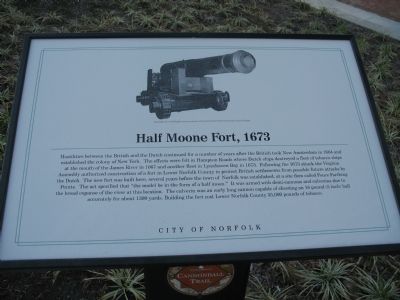
Photographed by Laura Troy, November 4, 2007
1. Half Moone Fort, 1673 Marker
Erected by City of Norfolk.
Topics and series. This historical marker is listed in this topic list: Forts and Castles. In
this page online
Location. 36° 50.795′ N, 76° 17.727′ W. Marker is in Norfolk, Virginia. It is in Downtown. It can be reached from the intersection of Waterside Drive and Boush Street, on the right when traveling south. This marker stands in front of the Nauticus Museum. Touch for map. Marker is at or near this postal address: 1 Waterside Dr, Norfolk VA 23510, United States of America. Touch for directions.

Regionally, this marker is in Virginia’s Hampton Roads, specifically in Coastal Virginia, and in the Hampton Roads Metropolitan Area. It is also in the American South, specifically in the Upper South, in the Tidewater, and on the Eastern Seaboard. Globally, it is in the North Atlantic Region, North America, the Western Hemisphere, the Western World, and the Anglosphere. Historically, it finds itself in what was once the territory of the Mississippian Culture, one of the original Thirteen Colonies, one of the Confederate States of America, and the Antebellum South.
Other nearby markers. At least
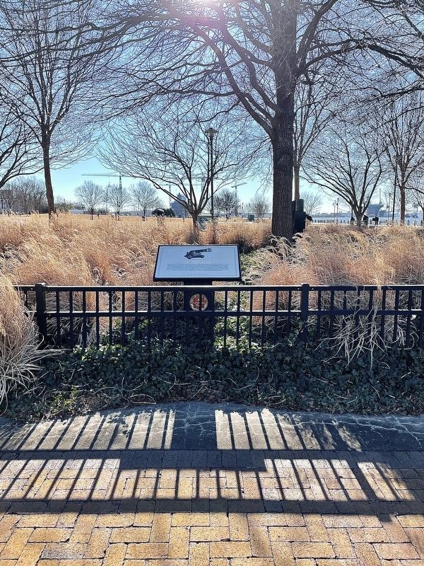
Photographed by Brandon D Cross, January 18, 2022
2. Half Moone Fort, 1673 Marker
More about this marker. This marker is part of the Norfolk Heritage Cannonball Trail.
Additional commentary.
1. The Nauticus
Nauticus is an interactive science and technology center that explores the naval, economic, and nautical power of the sea. Home of the Battleship Wisconsin, Nauticus features Battleship Wisconsin-related exhibits, hands-on exhibits, national-caliber traveling exhibits, high-definition films on a giant screen, shark petting, an the Hampton Roads Naval Museum. There is a fee to enter.
— Submitted November 10, 2007.
Credits. This page was last revised on June 24, 2026. It was originally submitted on November 8, 2007, by Laura Troy of Burke, Virginia. This page has been viewed 2,268 times since then and 114 times this year. Last updated on June 23, 2026, by Evan Dwyer of Richmond, Virginia. Photos: 1. submitted on November 8, 2007, by Laura Troy of Burke, Virginia. 2. submitted on January 18, 2022, by Brandon D Cross of Flagler Beach, Florida. • Devry Becker Jones was the editor who published this page.
