Saint Marys in Perth County, Ontario — Central Canada (North America)
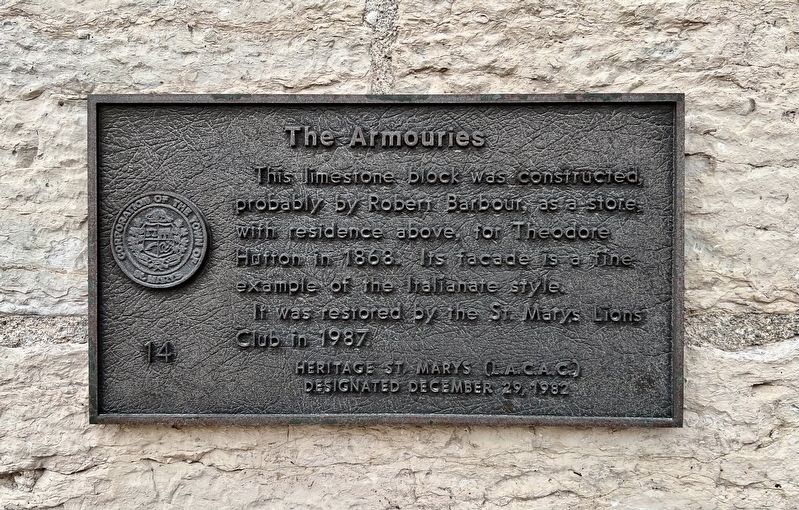
The Armouries
Photographed by Tim Boyd, June 21, 2026
1. The Armouries Marker
Erected 1982 by Heritage St. Marys. (Marker Number 14.)
Topics. This historical marker is listed in these topic lists: Architecture • Industry & Commerce. A significant historical year for this entry is 1868.
Location. 43° 15.516′ N, 81° 8.609′ W. Marker is in Saint Marys, Ontario, in Perth County. It is on Water Street South 0.1 kilometers south of Queen Street East, on the right when traveling south. Touch for map. Marker is at or near this postal address: 25 Water Street S, Saint Marys ON N4X 1B8, Canada. Touch for directions.

Regionally, this marker is in the Huron-Perth-Waterloo-Wellington Area and in Southwestern Ontario. It is also in Central Canada. Globally, it is in North America, the Western Hemisphere, the Western World, and the Anglosphere. Historically, it finds itself in what was once a British colony, the Viceroyalty of New France, the Haudenosaunee
this page online
Other nearby markers. At least 8 other markers are within walking distance of this marker: St. Marys Opera House (a few steps from this marker); Mill Wheel (within shouting distance of this marker); The Hutton-MacPherson Block (about 90 meters away, measured in a direct line); Mill Race (about 90 meters away); John McDonald Block (about 120 meters away); Stonetown Insurance (about 150 meters away); Andrews Jeweller (about 180 meters away); The A. Workman Building (about 180 meters away). Touch for a list and map of all markers in Saint Marys.
Photographed by Tim Boyd, June 21, 2026
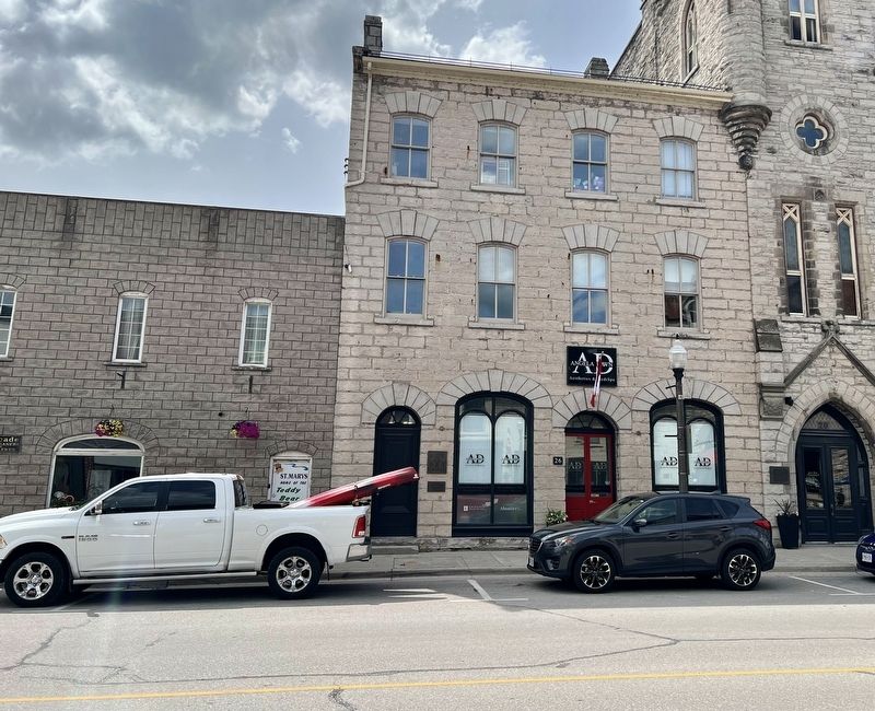
2. The Armouries Marker
The smaller marker on the left side of the building
Credits. This page was last revised on June 24, 2026. It was originally submitted on June 24, 2026, by Tim Boyd of Hamilton, Ontario. This page has been viewed 9 times since then. Photos: 1, 2. submitted on June 24, 2026, by Tim Boyd of Hamilton, Ontario. • Andrew Ruppenstein was the editor who published this page.
