Saint Marys in Perth County, Ontario — Central Canada (North America)
Mill Wheel
Photographed by Tim Boyd, June 21, 2026
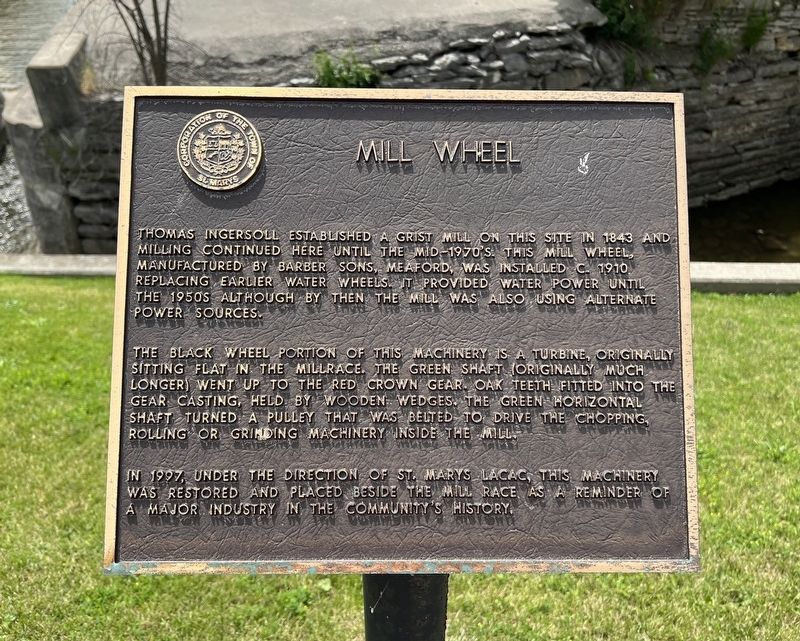
1. Mill Wheel Marker
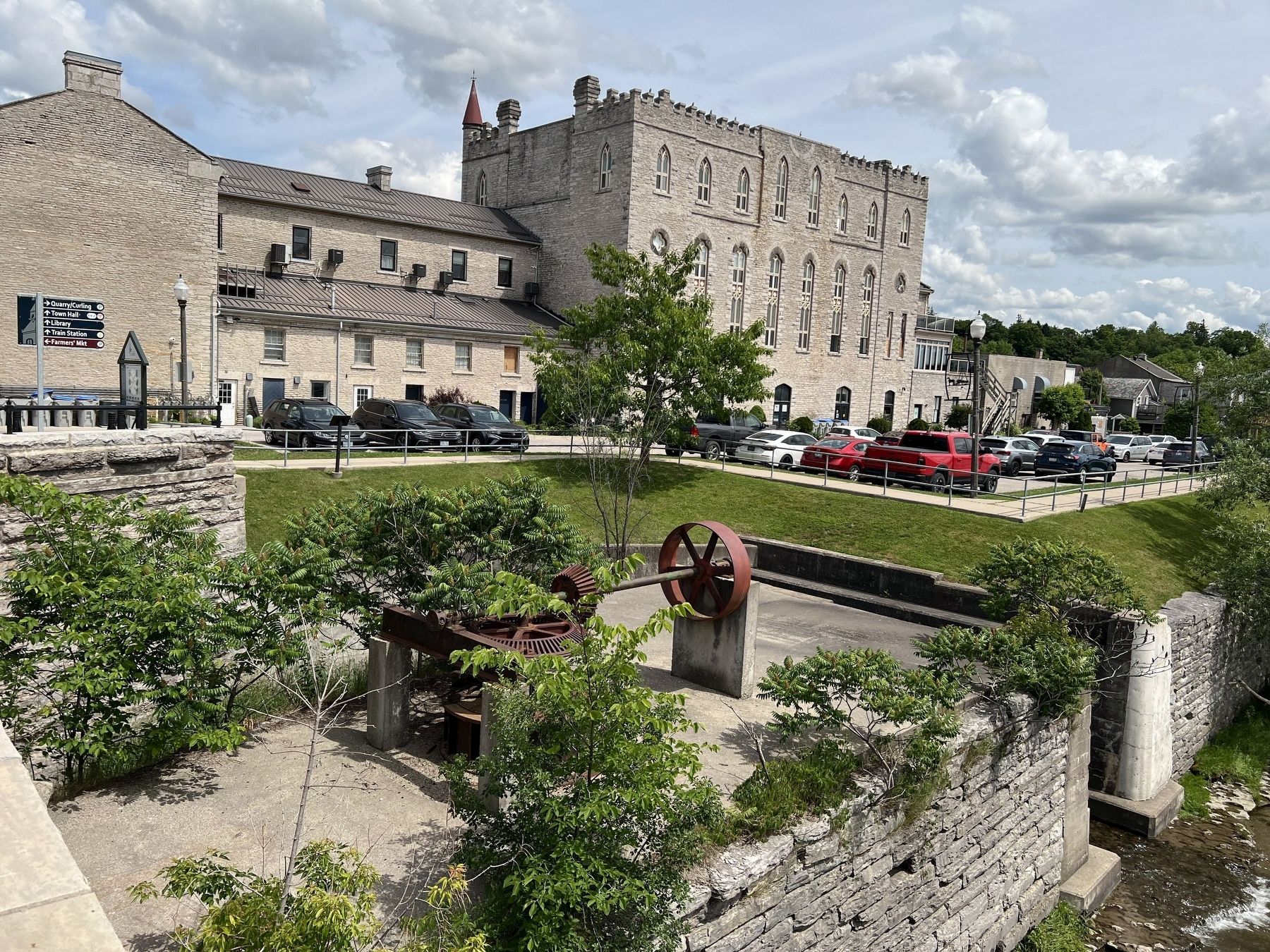
The black wheel portion of this machinery is a turbine, originally sitting flat in the millrace. The green shaft (originally much longer) went up to the red crown gear. Oak teeth fitted into the gear casting, held by wooden wedges. The green horizontal shaft turned a pulley that was belted to drive the chopping, rolling or grinding machinery inside the mill.
In 1997, under the direction of St. Marys LACAC, this machinery was restored and placed beside the mill race as a reminder of a major industry in the community's history.
Erected by Town of St. Marys.
Topics. This historical marker is listed in this topic list: Industry & Commerce. A significant historical year for this entry is 1843.
Location. 43° 15.543′ N, 81° 8.644′ W. Marker is in Saint Marys, Ontario, in Perth County. It is at the
this page online

Regionally, this marker is in the Huron-Perth-Waterloo-Wellington Area and in Southwestern Ontario. It is also in Central Canada. Globally, it is in North America, the Western Hemisphere, the Western World, and the Anglosphere. Historically, it finds itself in what was once a British colony, the Viceroyalty of New France, the Haudenosaunee (Iroquois) Confederacy, and Rupert’s Land.
Other nearby markers. At least 8 other markers are within walking distance of this marker: Mill Race (within shouting distance of this marker); The Hutton-MacPherson Block (within shouting distance of this marker); St. Marys Opera House (within shouting distance of this marker); The Armouries (within shouting distance of this marker); John McDonald Block (about 120 meters away, measured in a direct line); Water Street Bridge (about 180 meters away); Andrews Jeweller (about 180 meters away); The A. Workman Building
Photographed by Tim Boyd, June 21, 2026
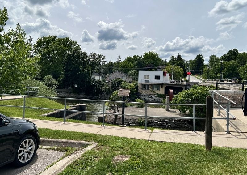
2. Mill Wheel Marker
Photographed by Tim Boyd, June 21, 2026
3. Restored mill wheel (the back of the marker is visible by the leftmost parked car)
Credits. This page was last revised on June 24, 2026. It was originally submitted on June 24, 2026, by Tim Boyd of Hamilton, Ontario. This page has been viewed 8 times since then. Photos: 1, 2, 3. submitted on June 24, 2026, by Tim Boyd of Hamilton, Ontario. • Andrew Ruppenstein was the editor who published this page.
