
South Shaftsbury in Bennington County, Vermont — The American Northeast (New England)
The Old Mill
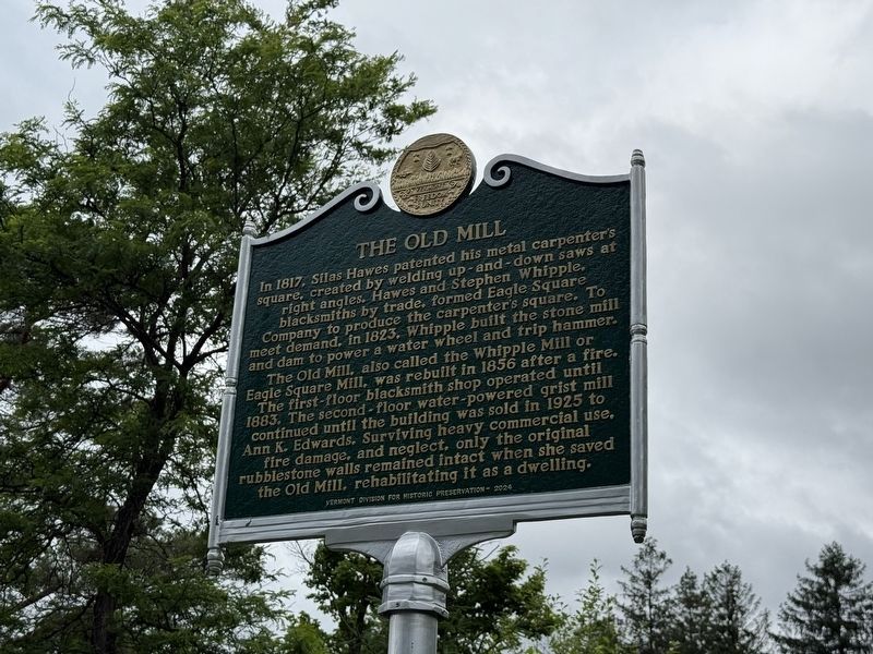
In 1817, Silas Hawes patented his metal carpenter's square, created by welding up-and-down saws at right angles. Hawes and Stephen Whipple, blacksmiths by trade, formed Eagle Square Company to produce the carpenter's square. To meet demand, in 1823, Whipple built the stone mill and dam to power a water wheel and trip hammer. The Old Mill, also called the Whipple Mill or Eagle Square Mill, was rebuilt in 1856 after a fire. The first-floor blacksmith shop operated until 1883. The second-floor water-powered grist mill continued until the building was sold in 1925 to Ann K. Edwards. Surviving heavy commercial use, fire damage, and neglect, only the original rubblestone walls remained intact when she saved the Old Mill, rehabilitating it as a dwelling.
Erected 2024 by Vermont Division for Historic Preservation.
Topics and series. This historical marker is listed in this topic list: Industry & Commerce. In addition, it is included in the Vermont Division for Historic Preservation Markers series list. A significant historical year for this entry is 1817.
Location. 42° 56.998′ N, 73° 12.688′ W. Marker is in Shaftsbury, Vermont,
this page online

Regionally, this marker is in Southern Vermont. It is also in the American Northeast and in New England. Globally, it is in North America, the Western Hemisphere, the Western World, and the Anglosphere. Historically, it finds itself in what was once the Vermont Republic.
Other nearby markers. At least 8 other markers are within 4 miles of this marker, measured as the crow flies: Railroad Station (approx. 2 miles away); Park-McCullough House (approx. 2.2 miles away); Shaftsbury (approx. 2.3 miles away); Governor Jonas Galusha Homestead (approx. 2.7 miles away); The Paper Mill Village Bridge (approx. 2.8 miles away); Paper Mill History / Covered Bridges Span Rivers And Time (approx. 2.8 miles away); House Where Lt .Colonel Baum Died (approx. 3.1 miles away); Senator James M. Jeffords Welcome Center (approx. 3.2 miles away). Touch for a list and map of

Credits. This page was last revised on August 20, 2026. It was originally submitted on June 25, 2026, by Devry Becker Jones of Washington, District of Columbia. This page has been viewed 16 times since then. Photos: 1, 2. submitted on June 25, 2026, by Devry Becker Jones of Washington, District of Columbia.
