National Museum of Transportation in Kirkwood in St. Louis County, Missouri — The American Midwest (Upper Plains)
Wabash #2847
Caboose
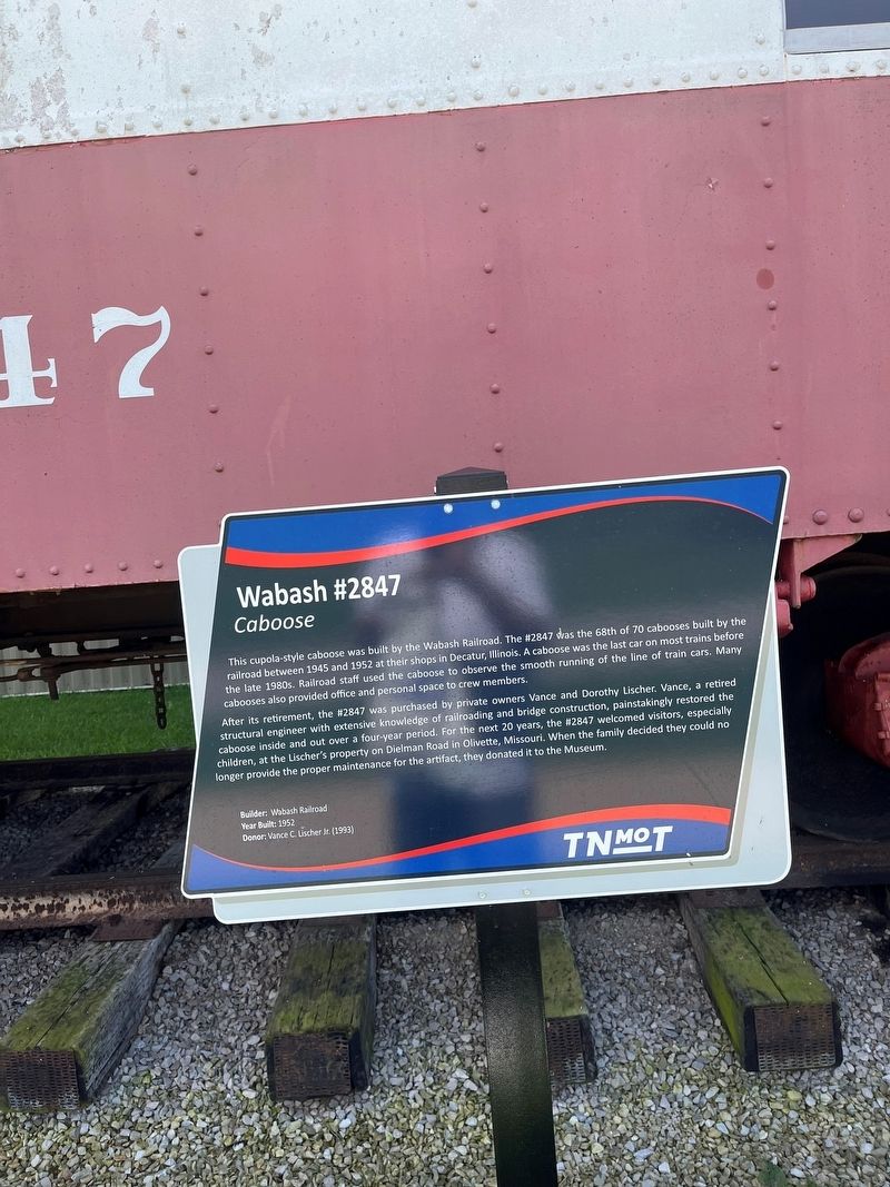
Photographed by Thomas Smith, 8=20=23
1. Wabash #2847 Marker
This cupola-style caboose was built by the Wabash Railroad. The #2847 was the 68th of 70 cabooses built by the railroad between 1945 and 1952 at their shops in Decatur, Illinois. A caboose was the last car on most trains before the late 1980s. Railroad staff used the caboose to observe the smooth running of the line of train cars. Many cabooses also provided office and personal space to crew members.
After its retirement, the #2847 was purchased by private owners Vance and Dorothy Lischer. Vance, a retired structural engineer with extensive knowledge of railroading and bridge construction, painstakingly restored the caboose inside and out over a four-year period. For the next 20 years, the #2847 welcomed visitors, especially children, at the Lischer's property on Dielman Road in Olivette, Missouri. When the family decided they could no longer provide the proper maintenance for the artifact, they donated it to the Museum.
Builder: Wabash Railroad
Year Built: 1952
Donor: Vance C. Lischer (1993)
Erected by The National Museum of Transportation.
Topics. This historical marker is listed in this
this page online
Location. 38° 34.387′ N, 90° 27.774′ W. Marker is in Kirkwood, Missouri, in St. Louis County. It is in National Museum of Transportation. It is on Barrett Station Road 1.6 miles Dougherty Ferry Rd. National Museum of Transportation. Touch for map. Marker is at or near this postal address: 2933 Barrett Station Rd, Saint Louis MO 63122, United States of America. Touch for directions.

Regionally, this marker is in Greater St. Louis. It is also in the American Midwest, in the Lewis & Clark Corridor, in the Corn Belt, and in the Great River Road Region. Globally, it is in North America, the Western Hemisphere, the Western World, and the Anglosphere. Historically, it finds itself in what was once the Viceroyalty of New France, the territory of the Mississippian Culture, the Louisiana Purchase, and the Antebellum South.
Other nearby markers. At least 8 other markers are within walking distance of this marker: First Through Train Over the Wabash (a few steps from this marker); Museum of Transportation - A Layout of the Land (a few steps from this
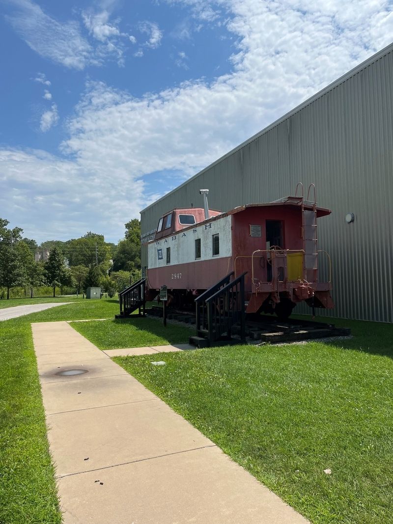
Photographed by Thomas Smith, 8=20=23
2. Wabash #2847 Marker
Credits. This page was last revised on June 29, 2026. It was originally submitted on August 22, 2023, by Thomas Smith of Waterloo, Ill. This page has been viewed 376 times since then and 27 times this year. Last updated on June 26, 2026, by Garrett Koch of Saint Louis, Missouri. Photos: 1, 2. submitted on August 22, 2023, by Thomas Smith of Waterloo, Ill. • Devry Becker Jones was the editor who published this page.
