Cockburn Town in Grand Turk, Turks and Caicos Islands, British Overseas Territories — North Atlantic Ocean
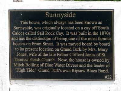
Sunnyside
Topics. This historical marker is listed in these topic lists: Arts, Letters, Music • Churches & Religion • Settlements & Settlers • Women.
Location. 21° 28.257′ N, 71° 8.845′ W. Marker is in Cockburn Town, Turks and Caicos Islands, in Grand Turk. Marker is at the intersection of Front Street and Grant's Alley N, on the left when traveling south on Front Street. Sunnyside is in downtown Cockburn Town on the west coast of Grand Turk Island, overlooking Front Street and an area for public parking along the Caribbean Sea. Touch for map. Marker is in this post office area: Cockburn Town, Turks and Caicos Islands TKCA 1ZZ, British Overseas Territories. Touch for directions.
Other nearby markers. At least 8 other markers are within walking distance of this marker. Free Mason's Lodge (a few steps from this marker); The History of the West (within shouting distance of this marker); Crofton Coverley House (within shouting distance of this marker); Grant Building (within shouting distance of this marker); Timco (about 90 meters away, measured in a direct line); Todds (about 90 meters away); Victoria Public Library (approx. 0.3 kilometers away); St. Mary’s Anglican Pro-Cathedral Church (approx. 0.4 kilometers away). Touch for a list and map of all markers in Cockburn Town.
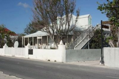
More about this marker. Marker is mounted to the right of the front gate on a short, white, exterior wall which encircles the house and property.
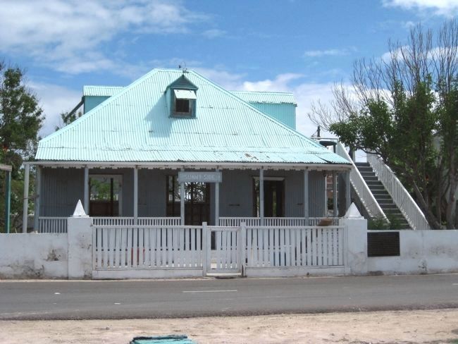
Regarding Sunnyside. Sunnyside is a two-story, white and grey structure with a covered front porch, exterior staircase, and a pale turquoise roof with dormer windows . The building's frame construction utilizes wood and corrugated tin.
Additional keywords. Relocation
Credits. This page was last revised on January 1, 2020. It was originally submitted on May 6, 2010, by Glenn Sheffield of Tampa, Florida. This page has been viewed 1,179 times since then and 17 times this year. Photos: 1, 2. submitted on May 6, 2010, by Glenn Sheffield of Tampa, Florida. 3. submitted on February 13, 2011, by Mike Stroud of Bluffton, South Carolina. • Bill Pfingsten was the editor who published this page.


