Autaugaville in Autauga County, Alabama — The American South (East South Central)
Albert J. Pickett
1810-1858
| — | Scholar-Planter-Trader | — |
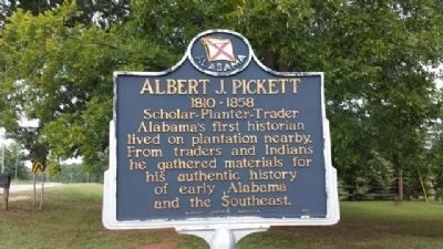
Photographed by Mark Hilton, September 26, 2013
1. Albert J. Pickett Marker
Erected 1952 by Alabama Historical Association.
Topics and series. This historical marker is listed in this topic list: Settlements & Settlers. In addition, it is included in the Alabama Historical Association series list.
Location. Marker has been permanently removed. It was located near 32° 26.067′ N, 86° 40.754′ W. Marker was in Autaugaville, Alabama, in Autauga County. It was at the intersection of Alabama Route 14 and County Road 133, on the right when traveling west on Alabama Route 14. Touch for map. Marker was at or near this postal address: 2901 AL-14, Autaugaville AL 36003, United States of America.
We have been informed that this marker is no longer there and will not be replaced. This page is an archival view of what was.
Regionally, this marker was in the Tri-Counties River Region. It was also in the American South, specifically in the Deep South, and in the Black Belt. Globally, it

this page online
Other nearby markers. At least 8 other markers are within 7 miles of this location, measured as the crow flies: Albert J. Pickett (1810-1858) (a few steps from this marker); Taylor Family Cemetery (approx. 1.3 miles away); Autaugaville (approx. 1½ miles away); Holy Ground Battlefield (approx. 5.6 miles away); Old Mulberry Schoolhouse (approx. 5.9 miles away); Greater Mallard's Chapel A.M.E. Church Cemetery (approx. 5.9 miles away); Ivy Creek Cemetery (approx. 6.3 miles away); Ivy Creek Methodist Church (approx. 6.3 miles away). Touch for a list and map of all markers in Autaugaville.
Also see . . . History of Alabama by Albert James Pickett. (Submitted on September 27, 2013, by Mark Hilton of Montgomery, Alabama.)
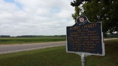
Photographed by Mark Hilton, August 26, 2013
2. Albert J. Pickett Marker
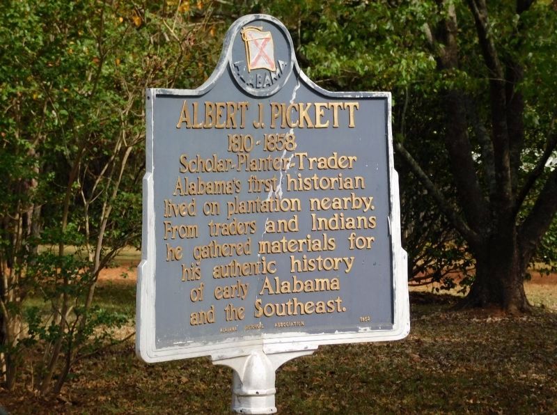
Photographed by Jimmy Emerson, 2019
3. Albert J. Pickett Marker Damaged
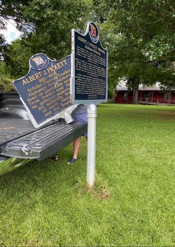
Photographed by Lizzie Bea, August 7, 2021
4. Albert J. Pickett Marker
Marker was replaced by Autauga County Heritage Association.
Credits. This page was last revised on July 9, 2026. It was originally submitted on September 26, 2013, by Mark Hilton of Montgomery, Alabama. This page has been viewed 6,517 times since then and 427 times this year. Last updated on June 26, 2026, by Jimmy Emerson of Dalton, Georgia. Photos: 1, 2. submitted on September 26, 2013, by Mark Hilton of Montgomery, Alabama. 3. submitted on March 8, 2026, by Jimmy Emerson of Dalton, Georgia. 4. submitted on June 26, 2026, by Jimmy Emerson of Dalton, Georgia. • Devry Becker Jones was the editor who published this page.
