Thomaston in Naugatuck Valley Region, Connecticut — The American Northeast (New England)
The Morse Block
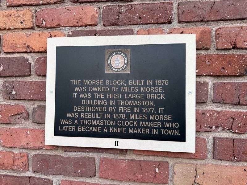
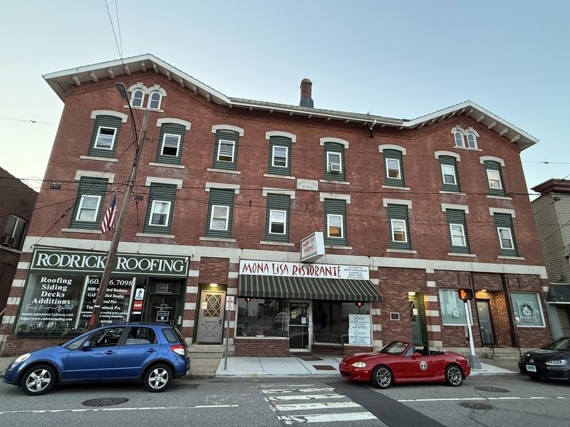
The Morse Block, built in 1876 was owned by Miles Morse. It was the first large brick building in Thomaston. Destroyed by fire in 1877, it was rebuilt in 1878. Miles Morse was a Thomaston clock maker who later became a knife maker in town.
Erected by Town of Thomaston, Connecticut. (Marker Number II.)
Topics. This historical marker is listed in these topic lists: Industry & Commerce • Notable Buildings. A significant historical year for this entry is 1876.
Location. 41° 40.451′ N, 73° 4.396′ W. Marker is in Thomaston in Naugatuck Valley Region, Connecticut. It is at the intersection of Main Street and East Main Street, on the right when traveling west on Main Street. Touch for map. Marker is at or near this postal address: 30 Main St, Thomaston CT 06787, United States of America. Touch for directions.

Regionally, this marker is in the Berkshire Foothills and in the Litchfield Hills. It is also in the American Northeast and in New England. Globally, it is in North America, the Western Hemisphere, the Western World, and the Anglosphere. Historically, it finds itself in what was once Litchfield County
this page online
Other nearby markers. At least 8 other markers are within walking distance of this marker: Thomaston World War I Monument (within shouting distance of this marker); The American Hall (within shouting distance of this marker); Thomaston Soldiers Memorial (within shouting distance of this marker); Thomaston’s Three Tower Clocks (within shouting distance of this marker); Thomaston Veterans Monument (within shouting distance of this marker); Fr. Michael J. McGivney (about 400 feet away, measured in a direct line); Thomaston (about 600 feet away); Clifford R. French Post (about 700 feet away). Touch for a list and map of all markers in Thomaston.
Credits. This page was last revised on June 28, 2026. It was originally submitted on June 28, 2026, by Devry Becker Jones of Washington, District of Columbia. This page has been viewed 13 times since then. Photos: 1, 2. submitted on June 28, 2026, by Devry Becker Jones of Washington, District of Columbia.
