Zion in Montgomery County, Alabama — The American South (East South Central)
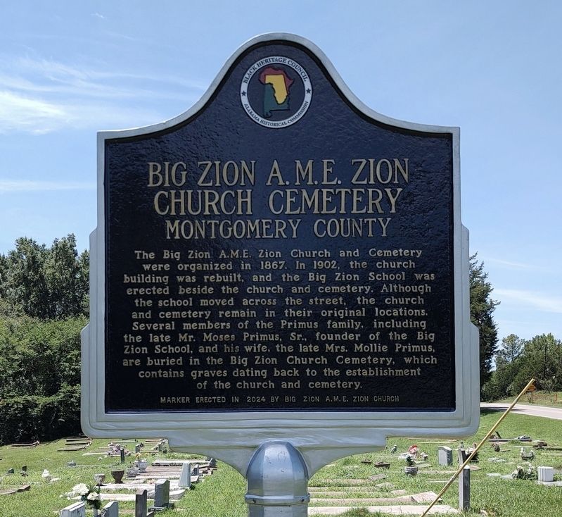
Big Zion A.M.E. Zion Church Cemetery
Montgomery County
Photographed by Jimmy Emerson, June 24, 2026
1. Big Zion A.M.E. Zion Church Cemetery Marker
The Big Zion A.M.E. Zion Church and Cemetery were organized in 1867. In 1902, the church building was rebuilt, and the Big Zion School was erected beside the church and cemetery. Although the school moved across the street, the church and cemetery remain in their original locations. Several members of the Primus family, including the late Mr. Moses Primus, Sr. founder of the Big Zion School, and his wife, the late Mrs. Mollie Primus are buried in the Big Zion Church Cemetery, which contains graves dating back to the establishment of the church and cemetery.
Erected 2024 by Big Zion A.M.E Zion Church, Black Heritage Council and Alabama Historical Commission.
Topics and series. This historical marker is listed in these topic lists: African Americans • Education • Religion & Religious Structures. In addition, it is included in the African Methodist Episcopal Zion (AME Zion) Church, and the Alabama Historical Commission series lists. A significant historical year for this entry is 1902.
Location. 32° 6.744′ N, 86° 24.058′ W. Marker is in Zion, Alabama, in Montgomery County. It is at the intersection of Mobile
this page online

Regionally, this marker is in the Tri-Counties River Region. It is also in the American South, specifically in the Deep South, and in the Black Belt. Globally, it is in North America, a Gulf of Mexico state, the Western Hemisphere, the Western World, and the Anglosphere. Historically, it finds itself in what was once the territory of the Mississippian Culture, one of the Confederate States of America, and the Antebellum South.
Other nearby markers. At least 8 other markers are within 5 miles of this marker, measured as the crow flies: Big Zion School (within shouting distance of this marker); Tankersley Rosenwald School (approx. 3.3 miles away); Lynching in America / Lynching in Letohatchee (approx. 3.4 miles away); William Bartram (approx. 3.6 miles away); The Federal Road / Manac's Tavern (approx. 4½ miles away); Pintlala School (approx. 4.7 miles away); Pintlala Grange Hall / Grange Hall School
Photographed by Jimmy Emerson, June 24, 2026
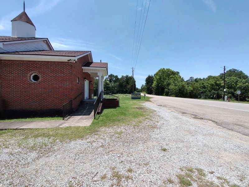
2. Big Zion A.M.E. Zion Church, Cemetery & Marker
The Big Zion School marker is across the road.
Credits. This page was last revised on June 30, 2026. It was originally submitted on June 26, 2026, by Jimmy Emerson of Dalton, Georgia. This page has been viewed 37 times since then. Last updated on June 28, 2026, by Jimmy Emerson of Dalton, Georgia. Photos: 1, 2. submitted on June 26, 2026, by Jimmy Emerson of Dalton, Georgia. • Devry Becker Jones was the editor who published this page.
