Maplewood in Ramsey County, Minnesota — The American Midwest (Upper Plains)
Arbolado School Bell
Photographed by McGhiever, August 19, 2019
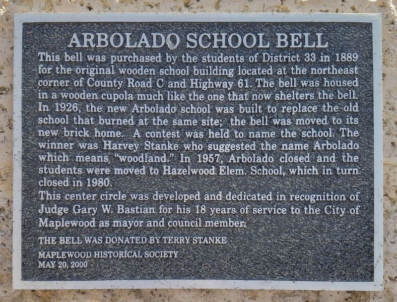
1. Arbolado School Bell Marker
This bell was purchased by the students of District 33 in 1889 for the original wooden school building located at the northeast corner of County Road C and Highway 61. The bell was housed in a wooden cupola much like the one that now shelters the bell. In 1926, the new Arbolado school was built to replaced the old school that burned at the same site; the bell was moved to its new brick home. A contest was held to name the school. The winner was Harvey Stanke who suggested the name Arbolado which means "woodland." In 1957, Arbolado closed and the students were moved to Hazelwood Elem. School, which in turn closed in 1980.
This center circle was developed and dedicated in recognition of Judge Gary W. Bastian for his 18 years of service to the City of Maplewood as mayor and council member.
The bell was donated by Terry Stanke
Maplewood Historical Society
May 20, 2000
Erected 2000 by the Maplewood Historical Society.
Topics. This historical marker is listed in these topic lists: Education • Government & Politics. A significant historical year for this entry is 1889.
Location. 45° 0.292′ N, 93° 1.46′ W. Marker
this page online

Regionally, this marker is in the Twin Cities Metropolitan Area. It is also in the American Midwest, in the Corn Belt, and in the Great River Road Region. Globally, it is in North America, the Western Hemisphere, the Western World, and the Anglosphere. Historically, it finds itself in what was once Rupert’s Land, the territory of the Mississippian Culture, and the Louisiana Purchase.
Other nearby markers. At least 8 other markers are within 2 miles of this marker, measured as the crow flies: Ramsey County Cemetery (approx. ¼ mile away); Building the "Skally" (approx. 1.2 miles away); Gladstone Savanna's Natural History (approx. 1.2 miles away); History in Depth (approx. 1.2 miles away); A History of Change (approx.

Photographed by McGhiever
2. Arbolado School Bell Marker (lower left) on the traffic circle before the Maplewood Community Center
Credits. This page was last revised on June 29, 2026. It was originally submitted on June 29, 2026, by McGhiever of Minneapolis, Minnesota. This page has been viewed 10 times since then. Photos: 1, 2. submitted on June 29, 2026, by McGhiever of Minneapolis, Minnesota.
