Near Lufkin in Angelina County, Texas — The American South (West South Central)
Don Joaquin/Procella Crossing
Photographed by James Hulse, November 6, 2020
1. Don Joaquin/Procella Crossing Marker
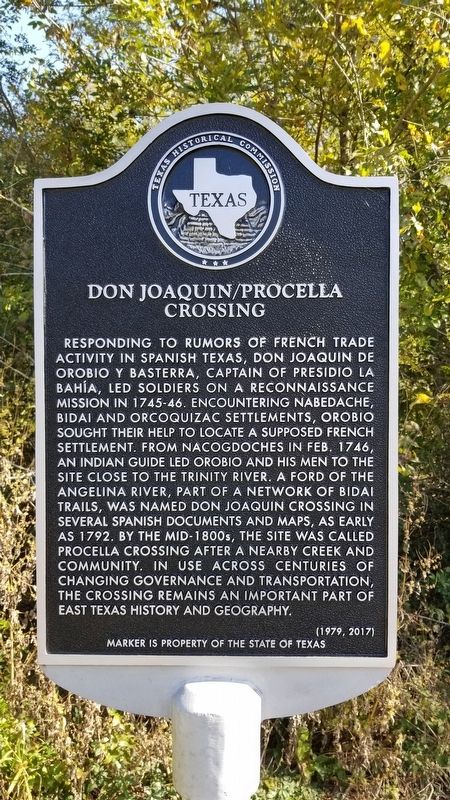
Responding to rumors of French trade activity in Spanish Texas, Don Joaquin de Orobio y Basterra, Captain of Presidio La Bahía, led soldiers on a reconnaissance mission in 1745-46. Encountering Nabedache, Bidai and Orcoquizac settlements, Orobio sought their help to locate a supposed French settlement. From Nacogdoches in Feb. 1746, an Indian guide led Orobio and his men to the site close to the Trinity river. A ford of the Angelina river, part of a network of Bidai trails, was named Don Joaquin crossing in several Spanish documents and maps, as early as 1792. By the mid-1800s, the site was called Procella Crossing after a nearby creek and community. In use across centuries of changing governance and transportation, the crossing remains an important part of East Texas history and geography.
Erected 2017 by Texas Historical Commission. (Marker Number 18878.)
Topics. This historical marker is listed in this topic list: Exploration. A significant historical month for this entry is February 1746.
Location. 31° 26.865′ N, 94° 43.563′ W. Marker is near Lufkin, Texas, in Angelina County. It is on U.S. 59 0.4 miles north of Bates Road, on the right when traveling north. Touch for map. Marker is at or near this postal address: 5330 U.S Highway 59, Lufkin TX 75901, United States of America. Touch for directions.

Regionally, this marker is in the American South, specifically in the Deep South, and in the Piney Woods. Globally, it is in North America, a Gulf of Mexico state, the Western Hemisphere, the Western World, and the Anglosphere. Historically, it finds itself in what was once New Spain, the Republic of Texas, and one of the Confederate States of America.
Other nearby markers. At least 8 other markers are within 6 miles of this marker, measured as the crow
this page online
Also see . . .
1. Presidio La Bahia. TSHA Texas State Historical Association (Submitted on November 20, 2020, by James Hulse of Medina, Texas.)
2. Orcoquiza Indians. TSHA Texas State Historical Association (Submitted on November 20, 2020, by James Hulse of Medina, Texas.)
Photographed by James Hulse, November 6, 2020
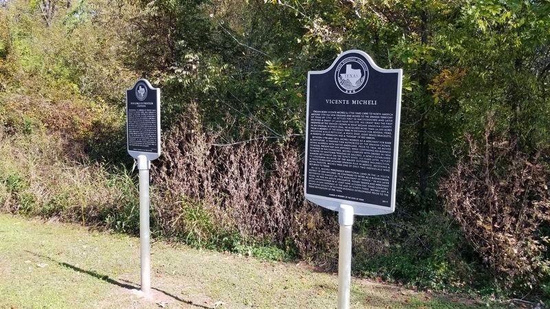
2. Don Joaquin/Procella Crossing Marker, on the left
Photographed by James Hulse, November 6, 2020
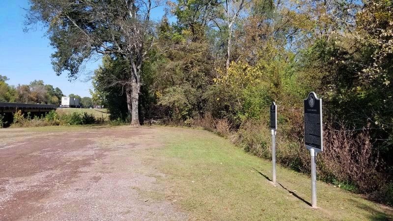
3. A view of the road with the two markers at the pullout
Photographed by Jeff Leichsenring, April 23, 2023
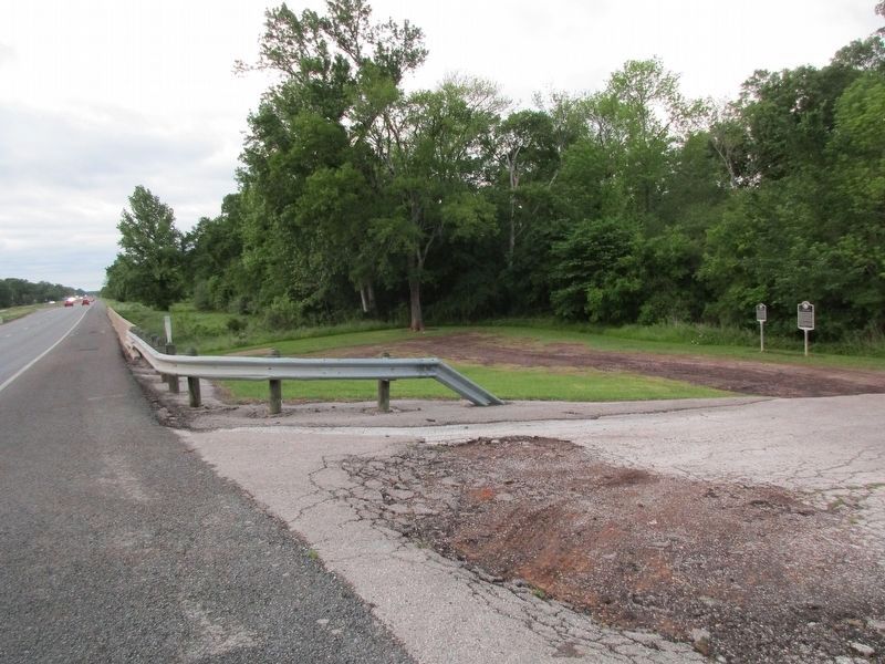
4. Don Joaquin/Procella Crossing Marker
Credits. This page was last revised on July 1, 2026. It was originally submitted on November 20, 2020, by James Hulse of Medina, Texas. This page has been viewed 1,906 times since then and 189 times this year. Last updated on June 30, 2026, by Joe Lotz of Flower Mound, Texas. Photos: 1, 2, 3. submitted on November 20, 2020, by James Hulse of Medina, Texas. 4. submitted on April 24, 2023, by Jeff Leichsenring of Garland, Texas. • Devry Becker Jones was the editor who published this page.
