National Museum of Transportation near Kirkwood in St. Louis County, Missouri — The American Midwest (Upper Plains)
Northern Pacific #1082
—
1954
—
Photographed by Devry Becker Jones (CC0), April 22, 2019
1. Northern Pacific #1082 Marker
Inscription.
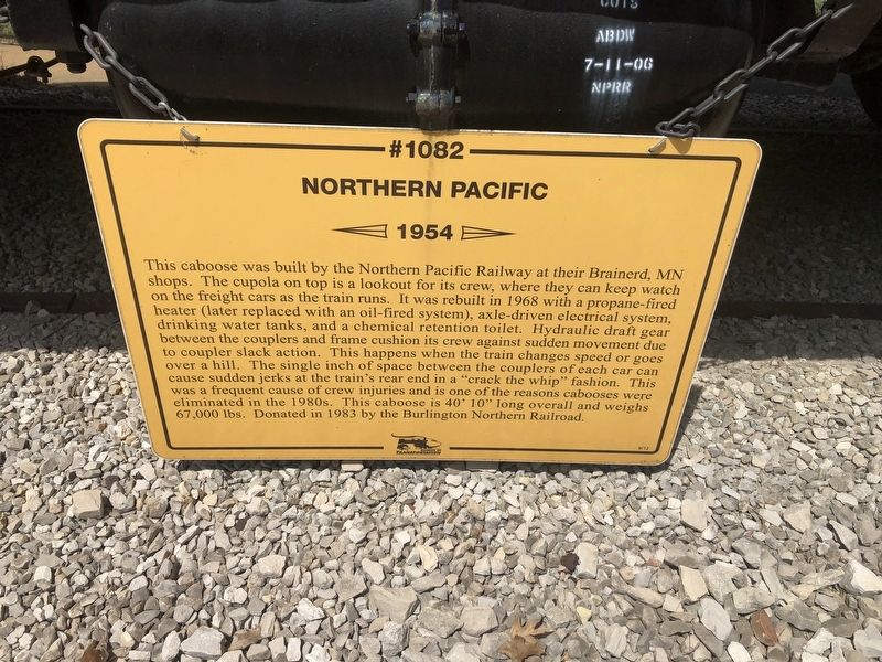
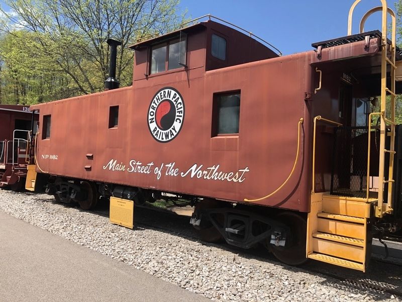
This caboose was built by the Northern Pacific Railway at their Brainerd, MN shops. The cupola on top is a lookout for its crew, where they can keep watch on the freight cars as the train runs. It was rebuilt in 1968 with a propane-fired heater (later replaced with an oil-fired system), axle-driven electrical system, drinking water tanks, and chemical retention toilet. Hydraulic draft gear between the couplers and frame cushion its crew against sudden movement due to coupler slack action. This happens when the train changes speed or goes over a hill. The single inch of space between the couplers of each car can cause sudden jerks at the train's rear end in a "crack the whip" fashion. This was a frequent cause of crew injuries and is one of the reasons cabooses were eliminated in the 1980s. This caboose is 40' 10" long overall and weighs 67,000 lbs. Donated in 1983 by the Burlington Northern Railroad.
Erected 2012 by National Museum of Transportation.
Topics. This historical marker is listed in this topic list: Railroads & Streetcars. A significant historical year for this entry is 1954.
Location. 38° 34.268′ N, 90° 27.802′ W.
Click or scan to see this page online
Marker is near Kirkwood, Missouri, in St. Louis County. It is in National Museum of Transportation. It can be reached from Barrett Station Road east of Old Dougherty Ferry Road, on the right when traveling east. Touch for map. Marker is at or near this postal address: 3015 Barrett Station Road, Saint Louis MO 63122, United States of America. Touch for directions.
Regionally, this marker is in Greater St. Louis. It is also in the American Midwest, in the Lewis & Clark Corridor, in the Corn Belt, and in the Great River Road Region. Globally, it is in North America, the Western Hemisphere, the Western World, and the Anglosphere. Historically, it finds itself in what was once the Viceroyalty of New France, the territory of the Mississippian Culture, the Louisiana Purchase, and the Antebellum South.
Credits. This page was last revised on July 7, 2026. It was originally submitted on April 28, 2019, by Devry Becker Jones of Washington, District of Columbia. This page has been viewed 235 times since then and 33 times this year. Last updated on July 2, 2026, by Garrett Koch of Saint Louis, Missouri. Photos:1, 2. submitted on April 28, 2019, by Devry Becker Jones of Washington, District of Columbia.