Dorking in Surrey, England, United Kingdom — Northwestern Europe (the British Isles)
Dorking in the Year 2000
| — | Dorking Heritage Trail | — |
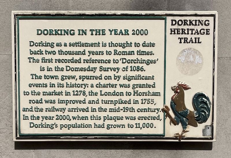
Photographed by Ray Gurganus, April 14, 2026
1. Dorking in the Year 2000 Marker
Erected 2000.
Topics. This historical marker is listed in this topic list: Settlements & Settlers. A significant historical year for this entry is 1086 CE.
Location. 51° 13.929′ N, 0° 19.893′ W. Marker is in Dorking, England, in Surrey. It is on High Street, on the left when traveling east. Touch for map. Marker is at or near this postal address: 83 High Street, Dorking, England RH4 1AL, United Kingdom. Touch for directions.

Regionally, this marker is in the Greater South East. Globally, it is on the Atlantic Ocean, in the North Atlantic Region, in Europe, in Atlantic Europe, on one of the British Isles, in the Western World, and in the Anglosphere.
this page online
Other nearby markers. At least 8 other markers are within 8 kilometers of this marker, measured as the crow flies: St Martin's Church (within shouting distance of this marker); The White Horse and Cattle Market (about 90 meters away, measured in a direct line); The Upper Chequers Inn (about 90 meters away); Dorking War Memorial (approx. 0.2 kilometers away); Willow Walk, Meadowbank (approx. half a kilometer away); Thomas Cubitt (approx. half a kilometer away); Welcome to Betchworth (approx. 4.8 kilometers away); The Mansion (approx. 6.8 kilometers away). Touch for a list and map of all markers in Dorking.
Credits. This page was last revised on July 9, 2026. It was originally submitted on July 5, 2026, by Ray Gurganus of Washington, District of Columbia. This page has been viewed 8 times since then. Photo 1. submitted on July 5, 2026, by Ray Gurganus of Washington, District of Columbia. • Andrew Ruppenstein was the editor who published this page.
