Glade Spring in Washington County, Virginia — The American South (Mid-Atlantic)
Glade Spring School
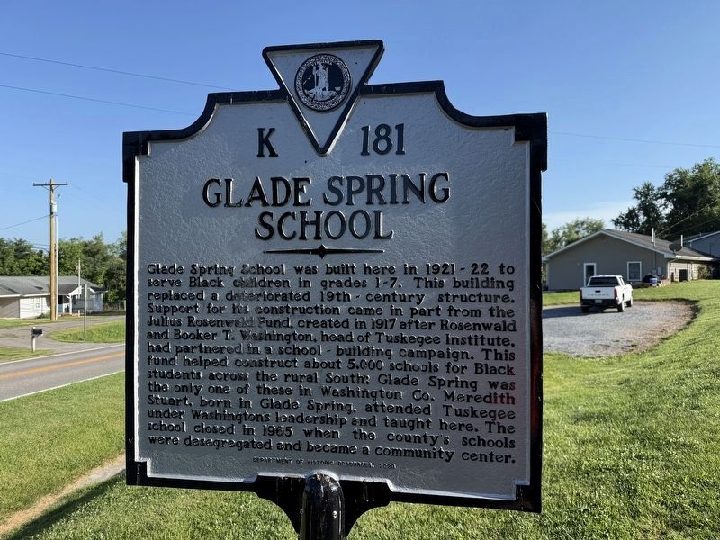
Glade Spring School was built here in 1921-22 to serve Black children in grades 1-7. This building replaced a deteriorated 19th-century structure. Support for its construction came in part from the Julius Rosenwald Fund, created in 1917 after Rosenwald and Booker T. Washington, head of Tuskegee Institute, had partnered in a school-building campaign. This fund helped construct about 5,000 schools for Black students across the rural South; Glade Spring was the only one of these in Washington Co. Meredith under Washington's leadership and taught here. The school closed in 1965 when the county's schools were desegregated and became a community center.
Erected 2023 by Department of Historic Resources. (Marker Number K-181.)
Topics and series. This historical marker is listed in these topic lists: African Americans • Education. In addition, it is included in the Rosenwald Schools, and the Virginia Department of Historic Resources (DHR) series lists. A significant historical year for this entry is 1917.
Location. 36° 47.855′ N, 81° 45.92′ W. Marker is in Glade Spring, Virginia, in Washington County. It is at the intersection
this page online

Regionally, this marker is in the Tri-Cities Area, in Southwest Virginia, and in the Blue Ridge Highlands. It is also in the American South, specifically in the Upper South, in Appalachia, and specifically in Southern Appalachia. Globally, it is in North America, the Western Hemisphere, the Western World, and the Anglosphere. Historically, it finds itself in what was once the territory of the Mississippian Culture, one of the original Thirteen Colonies, one of the Confederate States of America, and the Antebellum South.
Other nearby markers. At least 8 other markers are within 5 miles of this marker, measured as the crow flies: Fort Kilmachronan (approx. 1.9 miles away); Mrs. Eliza M. Jones (approx. 2.4 miles away); Brig. Gen. William E. "Grumble" Jones, C.S.A. (approx. 2.4 miles away); Smyth County / Washington County (approx. 3.7 miles away); Donald W. Tendick, Sr., Memorial
Credits. This page was last revised on July 30, 2026. It was originally submitted on July 5, 2026, by Devry Becker Jones of Washington, District of Columbia. This page has been viewed 11 times since then. Photos: 1, 2. submitted on July 5, 2026, by Devry Becker Jones of Washington, District of Columbia.
