
Appalachia in Wise County, Virginia — The American South (Mid-Atlantic)
Appalachia High School
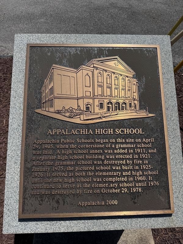
Appalachia Public Schools began on this site on April 29, 1905, when the cornerstone of a grammar school was laid. A high school annex was added in 1911, and a separate high school building was erected in 1921. After the grammar school was destroyed by fire in January 1925, the pictured school was built in 1925-1926. It served as both the elementary and high school until the new high school was completed in 1960. It continued to serve as the elementary school until 1976 and was destroyed by fire on October 29, 1978.
Erected 2000 by Appalachia 2000.
Topics. This historical marker is listed in this topic list: Education. A significant historical month for this entry is January 1925.
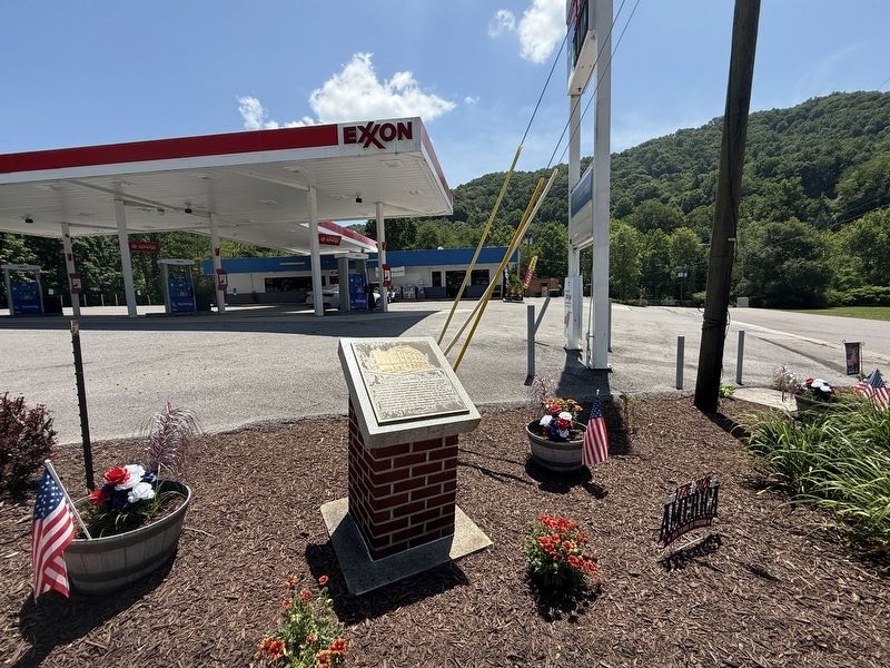
Location. 36° 54.028′ N, 82° 47.148′ W. Marker is in Appalachia, Virginia, in Wise County. It is at the intersection of West Main Street (Business U.S. 23) and South Inman Street, on the right when traveling north on West Main Street. Touch for map. Marker is at or near this postal address: 636 W Main St, Appalachia VA 24216, United States of America. Touch for directions.

Regionally, this marker is in Southwest Virginia. It is also in the American
this page online
Other nearby markers. At least 8 other markers are within 3 miles of this marker, measured as the crow flies: Appalachia: A Legacy of Railroading (approx. 0.2 miles away); Kelly View School (approx. 0.2 miles away); In Memory of Johnny Cubine (approx. 0.2 miles away); The Bee Rock Troll (approx. 0.2 miles away); Trail Head (approx. 0.2 miles away); Appalachia (approx. 0.4 miles away); Big Stone Gap (approx. 2.3 miles away); Origins of Big Stone Gap (approx. 2.3 miles away). Touch for a list and map of all markers in Appalachia.
Credits. This page was last revised on July 5, 2026. It was originally submitted on July 5, 2026, by Devry Becker Jones of Washington, District of Columbia. This page has been viewed 14 times since then. Photos: 1, 2. submitted on July 5, 2026, by Devry Becker Jones of Washington, District of Columbia.
