Dante in Russell County, Virginia — The American South (Mid-Atlantic)
Dickenson County
Area 325 square miles
⎯⎯⎯
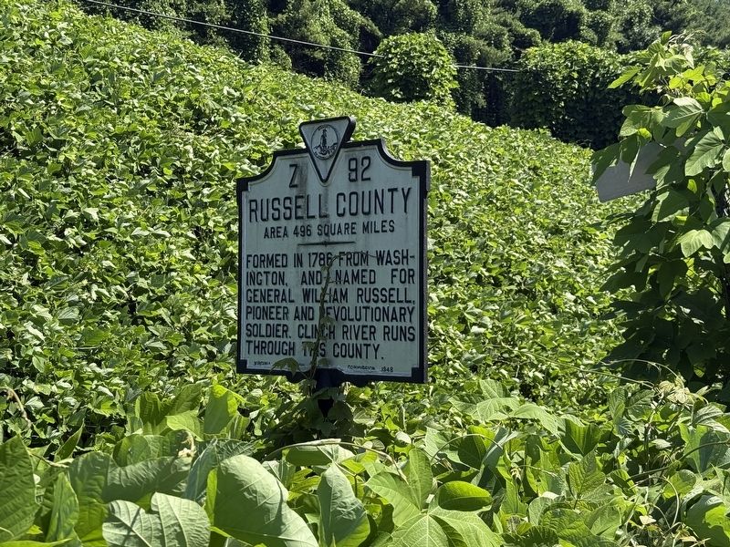
Russell County
Area 496 square miles
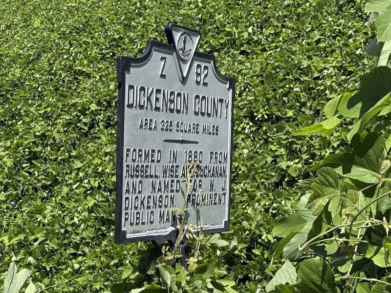
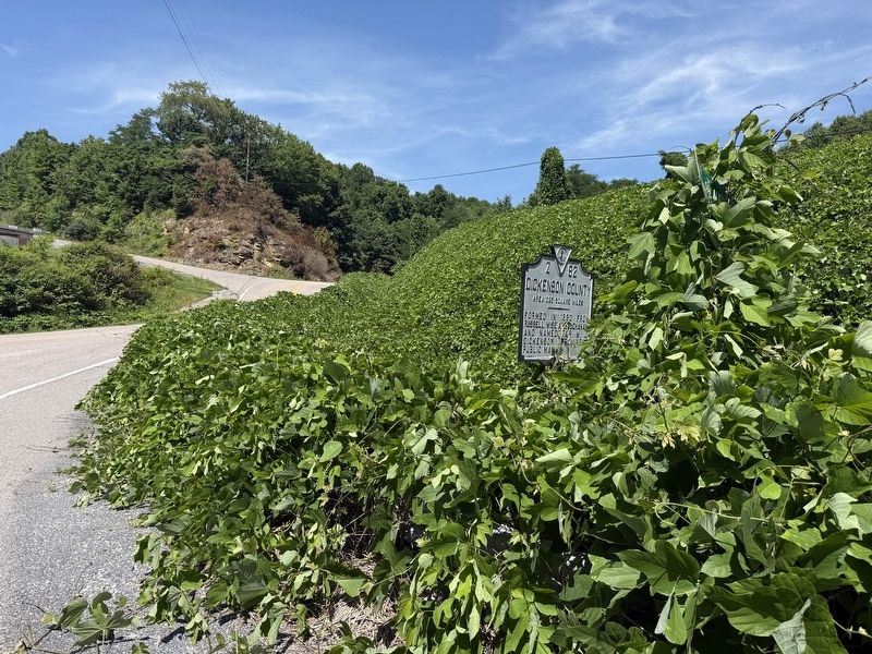
Dickenson County. Area 325 square miles. Formed in 1880 from Russell, Wise and Buchanan, and named for W. J. Dickenson, prominent public man.
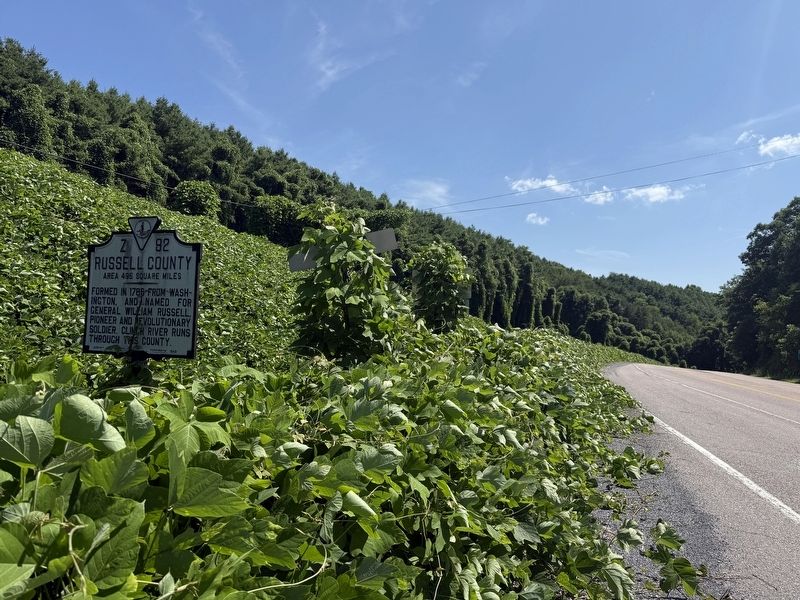
Russell County. Area 496 square miles. Formed in 1786 from Washington, and named for General William Russell, pioneer and revolutionary soldier. Clinch River runs through this county.
Erected 1948 by Virginia conservation Commission. (Marker Number Z-92.)
Topics. This historical marker is listed in this topic list: Political Subdivisions. A significant historical year for this entry is 1880.
Location. 36° 59.414′ N, 82° 15.287′ W. Marker is in Dante, Virginia, in Russell County. It is on Dante Mountain Road (Virginia Route 63) south of East Hazel Mountain Road (County Road 616), on the right when traveling north. Touch for map. Marker is at or near this postal address: 225 Fugate Dr, Dante VA 24237, United States of America. Touch for directions.

Regionally, this marker is in Southwest Virginia. It is also in the American South, specifically in the Upper South, in Appalachia, and specifically in Southern Appalachia. Globally, it is in North America, the Western Hemisphere,
this page online
Other nearby markers. At least 8 other markers are within 10 miles of this marker, measured as the crow flies: Trammel's Backbone: Coal, Rail, and the Company Town (approx. 2.2 miles away); From Company Town to Community: Reclaiming Trammel (approx. 2.2 miles away); Veterans Memorial (approx. 6.7 miles away); Fort Gibson United Methodist Church (approx. 7.1 miles away); Russell’s Fort (approx. 7.9 miles away); Old Buffalo School (approx. 8.1 miles away); Jessee’s Mill (approx. 9.2 miles away); Moore’s Fort (approx. 9.8 miles away).
Credits. This page was last revised on August 22, 2026. It was originally submitted on July 6, 2026, by Devry Becker Jones of Washington, District of Columbia. This page has been viewed 10 times since then. Photos: 1, 2, 3, 4. submitted on July 6, 2026, by Devry Becker Jones of Washington, District of Columbia.
