Lincoln in Middlesex County, Massachusetts — The American Northeast (New England)
Paul Revere Captured!
Minute Man National Historical Park
Photographed by Mike McKeown, July 6, 2026
1. Paul Revere Captured! Marker
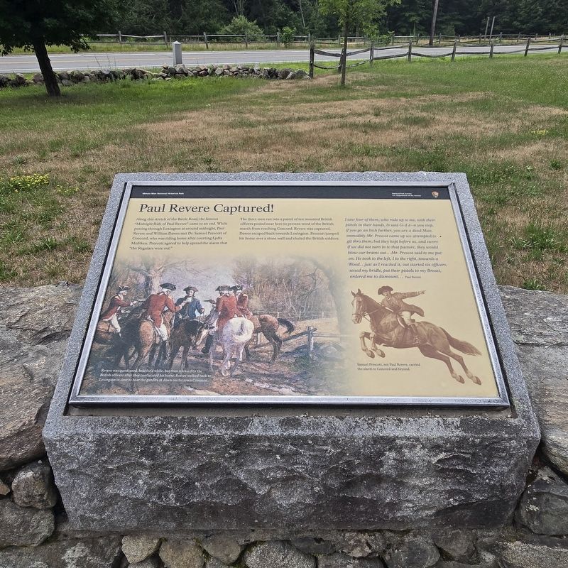
Along this stretch of the Battle Road, the famous "Midnight Ride of Paul Revere" came to an end. While passing through Lexington at around midnight, Paul Revere and William Dawes met Dr. Samuel Prescott of Concord, who was riding home after courting Lydia Mulliken. Prescott agreed to help spread the alarm that "the Regulars were out."
The three men ran into a patrol of ten mounted British officers posted near here to prevent word of the British march from reaching Concord. Revere was captured, Dawes escaped back towards Lexington. Prescott jumped his horse over a stone wall and eluded the British soldiers.
I saw four of them, who rode up to me, with their pistols in their hands, & said G-d d--n you stop, if you go an Inch further, you are a dead Man. immeditly Mr. Prescot came up we attempted to git thro them, but they kept before us, and swore if we did not turn in to that pasture, they would blow our brains out...Mr. Prescot said to me put on. He took to the left, I to the right, towards a Wood...just as I reached it, out started six officers, seised my bridle, put their pistols to my Breast, ordered me to dismount...
this page online
( captions )
— Revere was questioned, held for a while, but then released by the British officers after they confiscated his horse. Revere walked back to Lexington in time to hear the gunfire at dawn on the town Common.
— Samuel Prescott, not Paul Revere, carried the alarm to Concord and beyond.
Erected by Department of the Interior, National Park Service.
Topics. This historical marker is listed in these topic lists: Patriots & Patriotism • War, US Revolutionary. A significant historical date for this entry is April 18, 1775.
Location. 42° 26.934′ N, 71° 16.789′ W. Marker is in Lincoln, Massachusetts, in Middlesex County. It is on N Great Road (Massachusetts Route 2A) west of Mill Street, on the right when traveling west. Located in Minute Man National Historic Park. Touch for map. Marker is in this post office area: Lincoln MA 01773, United States of America. Touch for directions.

Regionally, this marker is in Greater Boston. It is also in the American Northeast, in New England, and on the Eastern Seaboard. Globally, it is in the North Atlantic Region, North America, the Western Hemisphere, the Western
Photographed by Mike McKeown, July 6, 2026
2. Paul Revere Captured! Marker
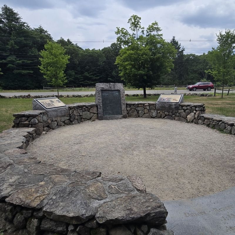
Marker is on the right
Other nearby markers. At least 8 other markers are within walking distance of this marker: End of Paul Revere’s Midnight Ride (here, next to this marker); a different marker also named The Midnight Riders (here, next to this marker); Weapon of the Day (within shouting distance of this marker); Paul Revere Capture Site (within shouting distance of this marker); Thorning Boulder (approx. ¼ mile away); Josiah Nelson House (approx. 0.4 miles away); Thomas Nelson Jr. House (approx. 0.4 miles away); Minute Man Visitor Center (approx. 0.4 miles away). Touch for a list and map of all markers in Lincoln.
Other markers no longer nearby. The Capture of Paul Revere (was here, next to this marker but has been permanently removed); The Midnight Riders (was here, next to this marker but has been permanently removed).
Also see . . .
1. Paul Revere's midnight ride (Wikipedia). (Submitted on July 10, 2026, by Michael Herrick of Southbury, Connecticut.)
2. Paul Revere (Wikipedia). (Submitted on July 10, 2026, by Michael Herrick of Southbury, Connecticut.)
3. Samuel Prescott (Wikipedia). (Submitted on July 10, 2026, by Michael Herrick of Southbury, Connecticut.)
Credits. This page was last revised on July 10, 2026. It was originally submitted on July 6, 2026, by Mike McKeown of Baltimore, Maryland. This page has been viewed 25 times since then. Photos: 1, 2. submitted on July 6, 2026, by Mike McKeown of Baltimore, Maryland. • Michael Herrick was the editor who published this page.
