Lincoln in Middlesex County, Massachusetts — The American Northeast (New England)
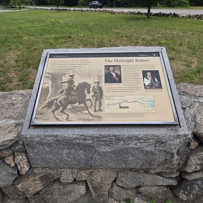
The Midnight Riders
Minute Man National Historical Park
Photographed by Mike McKeown, July 6, 2026
1. The Midnight Riders Marker
In September of 1774, patriot leaders initiated a system of alarms and express riders to warn area towns whenever British troops marched out of Boston. On April 18, 1775 at about 10:00 in the evening, two riders set out from Boston ahead of 700 British troops. They took different routes in case the British stopped one of them. William Dawes took the southern route out of Boston and Paul Revere took the northern route. They stopped in Lexington to warn Patriot leaders John Hancock and Samuel Adams, then headed on to Concord, where military supplies for the colony were stored.
( image captions )
— ...One if by land, and two, if by sea; And I on the opposite shore will be, Ready to ride and spread the alarm Through every Middlesex village and farm, For the country folk to be up and to arm.
Henry Wadsworth Longfellow's poem Paul Revere's Ride (1861) has helped to make the alarm rider an American icon
— William Dawes took the land route south of Boston.
— Paul Revere crossed the Charles River, obtained a horse, and began his ride.
— British Expedition and Patriot Messengers
As Dawes and Revere alerted
this page online
Erected by National Park Service .
Topics. This historical marker is listed in these topic lists: Patriots & Patriotism • War, US Revolutionary. A significant historical date for this entry is April 18, 1775.
Location. 42° 26.935′ N, 71° 16.785′ W. Marker is in Lincoln, Massachusetts, in Middlesex County. It is on N Great Road west of Mill Street, on the right when traveling west. Located in Minute Man National Historical Park. Touch for map. Marker is in this post office area: Lincoln MA 01773, United States of America. Touch for directions.

Regionally, this marker is in Greater Boston. It is also in the American Northeast, in New England, and on the Eastern Seaboard. Globally, it is in the North Atlantic Region, North America, the Western Hemisphere, the Western World, and the Anglosphere. Historically, it finds itself in what was once one of the original Thirteen Colonies.
Other nearby markers. At least 8 other markers are
Photographed by Mike McKeown, July 6, 2026
2. The Midnight Riders Marker
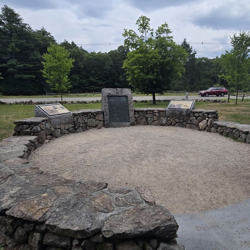
The marker is at the far left.
Other markers no longer nearby. The Capture of Paul Revere (was here, next to this marker but has been permanently removed); a different marker also named The Midnight Riders (was here, next to this marker but has been permanently removed).
Also see . . .
1. Paul Revere's midnight ride (Wikipedia). (Submitted on July 10, 2026, by Michael Herrick of Southbury, Connecticut.)
2. Paul Revere (Wikipedia). (Submitted on July 10, 2026, by Michael Herrick of Southbury, Connecticut.)
3. William Dawes (Wikipedia). (Submitted on July 10, 2026, by Michael Herrick of Southbury, Connecticut.)
Credits. This page was last revised on July 10, 2026. It was originally submitted on July 6, 2026, by Mike McKeown of Baltimore, Maryland. This page has been viewed 20 times since then. Photos: 1, 2. submitted on July 6, 2026, by Mike McKeown of Baltimore, Maryland. • Michael Herrick was the editor who published this page.
