Near Tazewell in Tazewell County, Virginia — The American South (Mid-Atlantic)
Pisgah United Methodist Church
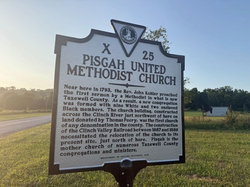
Near here in 1793, the Rev. John Kobler preached the first sermon by a Methodist in what is now Tazewell County. As a result, a new congregation was formed with nine White ant two enslaved Black members. The church building, constructed across the Clinch River just northwest of here on land donated by Thomas Peery, was the first church of any denomination in the county. The construction of the Clinch Valley Railroad between 1887 and 1889 necessitated the relocation of the church to its present site, just north of here. Pisgah is the mother church of numerous Tazewell County congregations and ministers.
Erected 2025 by Department of Historic Resources. (Marker Number X-25.)
Topics and series. This historical marker is listed in this topic list: Religion & Religious Structures. In addition, it is included in the Virginia Department of Historic Resources (DHR) series list. A significant historical year for this entry is 1793.
Location. 37° 7.254′ N, 81° 34.448′ W. Marker is near Tazewell, Virginia, in Tazewell County. It is at the intersection of Crab Orchard Road and Trail of the Lonesome Pine (U.S. 19/460), on the right
this page online

Regionally, this marker is in Southwest Virginia. It is also in the American South, specifically in the Upper South, in Appalachia, and specifically in Southern Appalachia. Globally, it is in North America, the Western Hemisphere, the Western World, and the Anglosphere. Historically, it finds itself in what was once the territory of the Mississippian Culture, one of the original Thirteen Colonies, one of the Confederate States of America, and the Antebellum South.
Other nearby markers. At least 8 other markers are within 3 miles of this marker, measured as the crow flies: Thomas Whitten (about 300 feet away, measured in a direct line); Fincastle Turnpike (about 300 feet away); Big Crab Orchard or Witten’s Fort (about 500 feet away); 250th Anniversary of the United States of America (about 500 feet away); Fort Witten (about 600 feet away); Indian-Settler Conflicts (approx. 1.8 miles away); Roark’s Gap Incident (approx. 2.7 miles away);
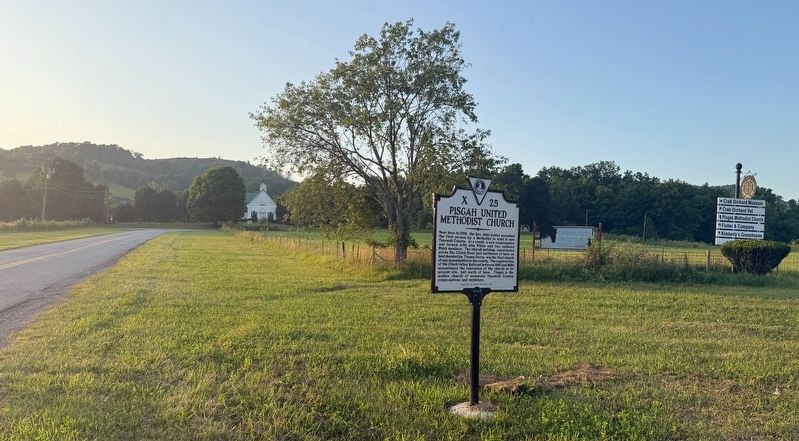
Other markers no longer nearby. Pisgah United Methodist Church (was within shouting distance of this marker but has been replaced with another marker now near it); Big Crab Orchard Or Witten’s Fort (was about 500 feet away but has been replaced with another marker now near it).

Photographed by J. J. Prats, May 28, 2011
3. Pisgah Church – 1793 – United Methodist
Credits. This page was last revised on July 6, 2026. It was originally submitted on July 6, 2026, by Devry Becker Jones of Washington, District of Columbia. This page has been viewed 10 times since then. Photos: 1, 2. submitted on July 6, 2026, by Devry Becker Jones of Washington, District of Columbia. 3. submitted on July 16, 2011, by J. J. Prats of Powell, Ohio.
