Bristol, Virginia — The American South (Mid-Atlantic)
Bristol Trailhead
Mendota Trail
| — | Mile 0.0 | — |
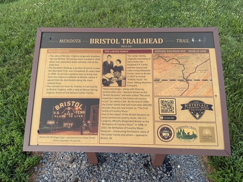
Bristol History
• The cities of Bristol, Virginia (originally Goodson, VA) and Bristol, Tennessee were created in 1856 when two separately built railroads met at the state line.
• The Southern Railway, a portion of which is now the Mendota Trail, was completed 35-years later in 1890. Its primary purpose was to bring coal from the Virginia coalfields to Bristol, where it would then be distributed along the main railroad lines.
• The railroad ran from St. Charles in Lee County to Bristol, Virginia, with a stop at Maces Srping, Virginia, home of the famous Carter Family.
The Carter Family
The Carter Family, originally consisting of Sara Carter, her husband A.P. Carter, and her cousin and sister-in-law Maybelle Carter, came to Bristol in 1927 to record "hillbilly music" for Victor Talking Machine Company.
These recordings — along with those by several other acts — became known as the "Bristol Sessions" and were called "the most important event in the history of country music" by Johnny Cash. By the end of 1930, the Carter Family had sold more than 300,000 records; they are now known as "The First Family of Country
this page online
Due to the impact of the Bristol Sessions on early commercial country music, the U.S. Congress officially designated Bristol as the "Birthplace of Country Music" in 1998. In 2014, the Birthplace of Country Music Museum — showcasing the historic story of The Carter Family and others — opened in Bristol, VA.
Erected by Birthplace of Country Music Museum; Washington County, Virginia; Mendota Trail; Anne & Gene Worrell Foundation.
Topics. This historical marker is listed in these topic lists: Arts, Letters, Music • Industry & Commerce • Railroads & Streetcars • Settlements & Settlers. A significant historical year for this entry is 1856.
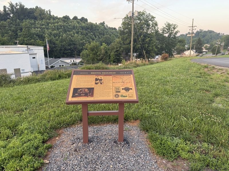
Location. 36° 37.221′ N, 82° 11.425′ W. Marker is in Bristol, Virginia. It is on Mendota Trail east of Island Road, on the right when traveling east. Touch for map. Marker is at or near this postal address: 1863 Island Rd, Bristol VA 24201, United States of America. Touch for directions.

Regionally, this marker is in Virginia’s Tri-Cities Area, in Southwest Virginia, and in the Blue Ridge Highlands. It is also in the American South, specifically in the Upper South,
Other nearby markers. At least 8 other markers are within 2 miles of this marker, measured as the crow flies: Oak Street (approx. 1.4 miles away); Scott Street - Servant's Row (approx. 1.4 miles away); Solar Hill/Sycamore Street (approx. 1½ miles away); Solar Street (approx. 1½ miles away); Johnson Street (approx. 1½ miles away); The Sunrise House 1895 (approx. 1½ miles away); Solar Observatory (approx. 1½ miles away); King's Alley/Sycamore Street (approx. 1½ miles away). Touch for a list and map of all markers in Bristol.
Credits. This page was last revised on July 7, 2026. It was originally submitted on July 7, 2026, by Devry Becker Jones of Washington, District of Columbia. This page has been viewed 9 times since then. Photos: 1, 2. submitted on July 7, 2026, by Devry Becker Jones of Washington, District of Columbia.
