
Sunset in Boise in Ada County, Idaho — The American West (Mountains)
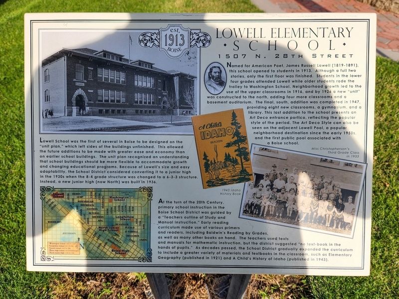
Lowell Elementary School
1507 N. 28th Street
Photographed by Douglass Halvorsen, July 2, 2026
1. Lowell Elementary School Marker
Lowell School was the first of several in Boise to be designed on the “unit plan,” which left sides of the buildings unfinished. This allowed the future additions to be made with greater ease and economy than on earlier school buildings. The unit plan recognized an understanding
this page online
At the turn of the 20th Century, primary school instruction in the Boise school District was guided by a “Teachers outline of Study and Manual Instruction.” Early reading curriculum made use of various primers and readers, including Baldwin’s Reading by Grades, as well as many other books on hand. The teachers used texts and manuals for mathematic instruction, but the district suggested “no text-book in the hands of pupils.” As decades passed, the School District gradually expanded the curriculum to include a greater variety of materials and textbooks in the classroom, such as Elementary Geography (published in 1921) and A Child’s History of Idaho (published in 1943).
Topics. This historical marker is listed in this topic list: Education. A significant historical year for this entry is 1913.
Location. 43° 38.068′ N,
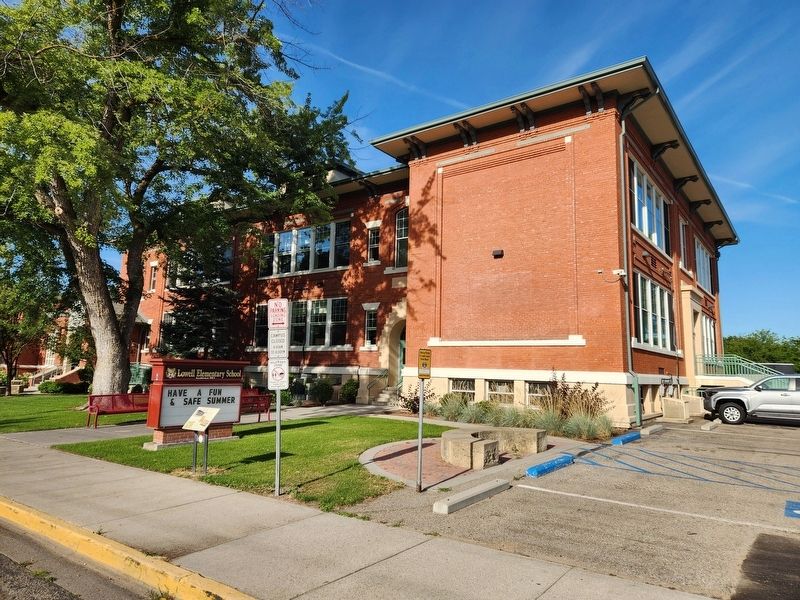
Photographed by Douglass Halvorsen, July 2, 2026
2. Lowell Elementary School Marker

Regionally, this marker is on Idaho’s Snake River Plain. It is also in the American Mountain West. Globally, it is in North America, the Western Hemisphere, the Western World, and the Anglosphere.
Other nearby markers. At least 8 other markers are within 2 miles of this marker, measured as the crow flies: Historic North End Neighborhood Groceries (approx. 0.4 miles away); Washington Elementary (approx. 0.9 miles away); Harrison Boulevard (approx. 0.9 miles away); The Route of the Oregon Trail in Boise (approx. 0.9 miles away); a different marker also named Historic North End Neighborhood Groceries (approx. 1.1 miles away); North Junior High School (approx. 1.2 miles away); President Franklin Roosevelt Visits Boise (approx. 1.2 miles away); a different marker also named President Franklin Roosevelt Visits Boise (approx. 1.2 miles away). Touch for a list and map
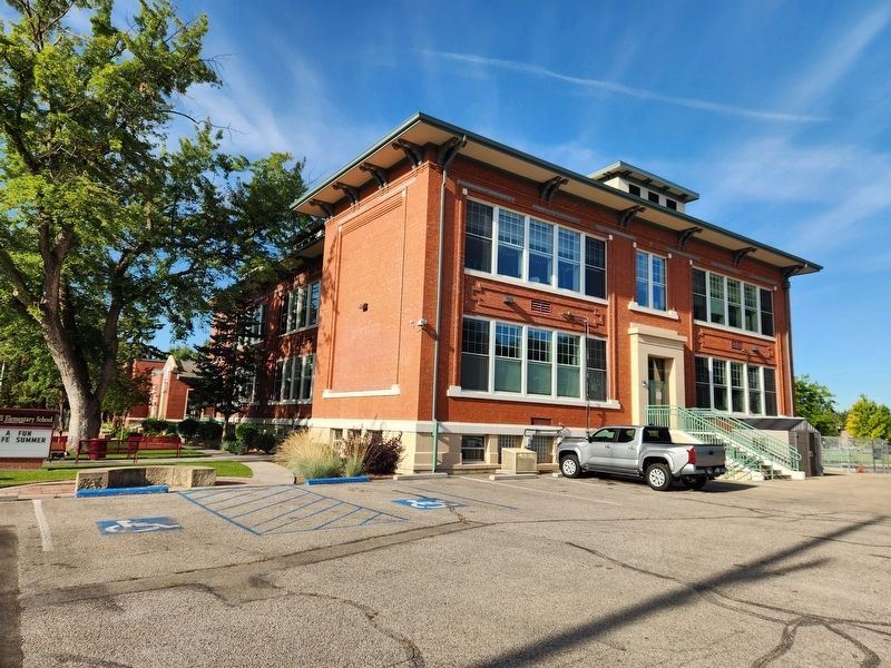
Photographed by Douglass Halvorsen, July 2, 2026
3. Lowell Elementary School Marker
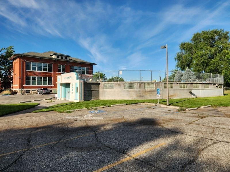
Photographed by Douglass Halvorsen, July 2, 2026
4. Lowell Pool
Credits. This page was last revised on July 7, 2026. It was originally submitted on July 7, 2026, by Douglass Halvorsen of Klamath Falls, Oregon. This page has been viewed 16 times since then. Photos: 1, 2, 3, 4. submitted on July 7, 2026, by Douglass Halvorsen of Klamath Falls, Oregon. • Andrew Ruppenstein was the editor who published this page.
