Jenkins in Letcher County, Kentucky — The American South (East South Central)
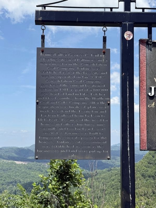
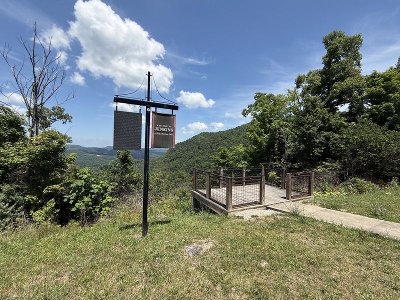
Welcome to Jenkins
A City Built on Coal
Topics. This historical marker is listed in these topic lists: Industry & Commerce • Natural Resources • Railroads & Streetcars • Settlements & Settlers. A significant historical date for this entry is January 9, 1912.
Location. 37° 9.48′ N, 82° 38.208′ W. Marker is in Jenkins, Kentucky, in Letcher County. It is on U.S. 23 west of Raven Rock, on the
this page online

Regionally, this marker is in Eastern Kentucky and in the Cumberland Plateau. It is also in the American South, specifically in the Upper South, in Appalachia, and specifically in Southern Appalachia. Globally, it is in North America, the Western Hemisphere, the Western World, and the Anglosphere. Historically, it finds itself in what was once the territory of the Mississippian Culture and also the Antebellum South.
Other nearby markers. At least 8 other markers are within walking distance of this marker: Pound Gap (within shouting distance of this marker); The Teardrop Monument (approx. ¼ mile away); Pound Gap Massacre (approx. ¼ mile away); Mountain Strong (approx. ¼ mile away); Sept. 11, 2001 Memorial (approx. ¼ mile away); More History (approx. ¼ mile away); The Shepherd of the Mountains (approx. ¼ mile away); Caudill’s Army (approx. ¼ mile away). Touch for a list and map of all markers in Jenkins.
Credits. This page was last revised on August 3, 2026. It was originally submitted on July 8, 2026, by Devry Becker Jones of Washington, District of Columbia. This page has been viewed 20 times since then. Photos: 1, 2. submitted on July 8, 2026, by Devry Becker Jones of Washington, District of Columbia.
