Near Shamrock in Collingsworth County, Texas — The American South (West South Central)
Site of Lutie School

Photographed by Timothy McDaniel, October 15, 2011
1. Lutie School Marker
Erected 1992 by Texas Historical Commission. (Marker Number 4825.)
Topics. This historical marker is listed in this topic list: Education. A significant historical year for this entry is 1909.
Location. 35° 1.391′ N, 100° 13.231′ W. Marker is near Shamrock, Texas, in Collingsworth County. It is on Farm to Market Road 1439 0.1 miles east of U.S. 83 when traveling east. Touch for map. Marker is at or near this postal address: 4998 US-83, Shamrock TX 79079, United States of America. Touch for directions.

Regionally, this marker is on the Texas Panhandle.
this page online
Other nearby markers. At least 8 other markers are within 9 miles of this marker, measured as the crow flies: Nicholson School (approx. 3.8 miles away); Rocking Chair "Ranche" (approx. 4.4 miles away); The Red River Plunge of Bonnie and Clyde (approx. 4.4 miles away); Quanah Parker Trail (approx. 4.4 miles away); Site of Dozier Schoolhouse (approx. 7.7 miles away); Dozier Cemetery (approx. 8.2 miles away); Needwood Cemetery (approx. 8.9 miles away); Collingsworth County (approx. 9.1 miles away).
More about this marker. Using Google Maps and the Cooridinates provided you can get a look at the TxDOT marker that is placed by the Marker. It clearly states that it is for Marker 4285 when the marker is actually 4825 per the THC. 4285 is actually in the DFW area and
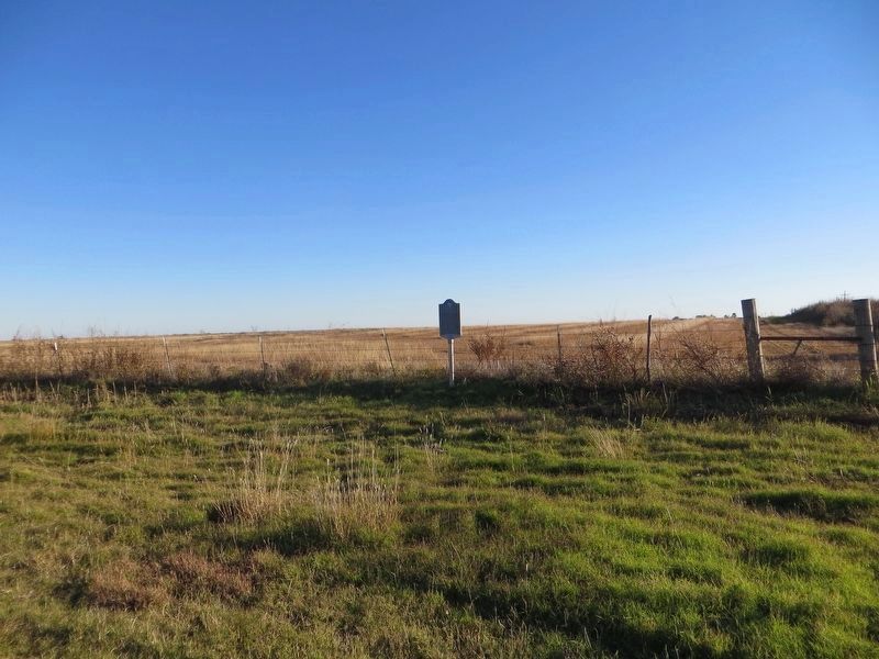
Photographed by Bill Kirchner, November 15, 2016
2. Site of Lutie School Marker
Related marker. Click here for another marker that is related to this marker. To better understand the relationship, study each marker in the order shown.
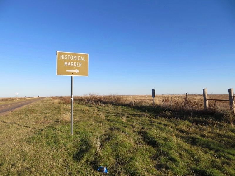
Photographed by Bill Kirchner, November 15, 2016
3. Site of Lutie School Marker
View east on FM-1439.
Credits. This page was last revised on July 23, 2026. It was originally submitted on October 16, 2011, by Timothy McDaniel of Lewisville, Texas. This page has been viewed 1,781 times since then and 114 times this year. Last updated on July 8, 2026, by Alan Stolleis of Dallas, Texas. Photos: 1. submitted on October 16, 2011, by Timothy McDaniel of Lewisville, Texas. 2, 3. submitted on December 8, 2016, by Bill Kirchner of Tucson, Arizona. • Devry Becker Jones was the editor who published this page.
