Norris City in White County, Illinois — The American Midwest (Great Lakes)
Texas Eastern
The Building of a Town
Photographed by Jason Voigt, June 9, 2026
1. Texas Eastern Marker
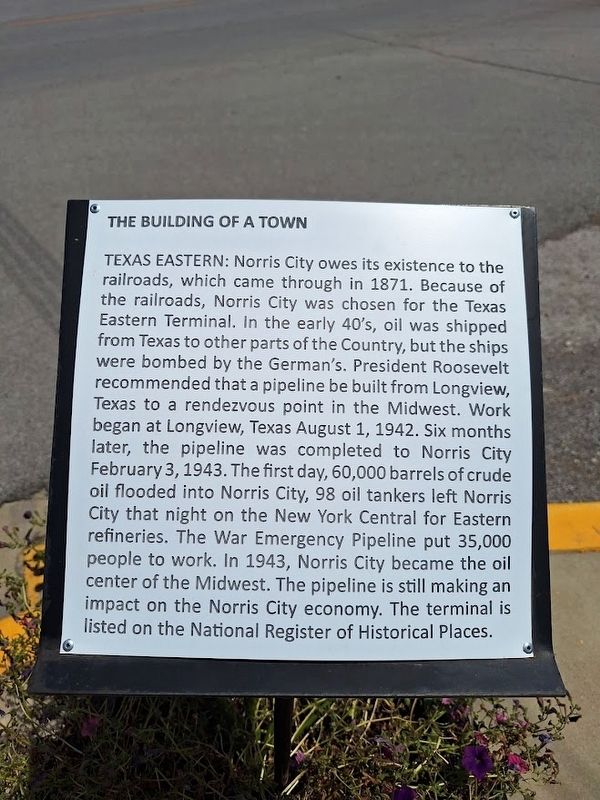
Norris City owes its existence to the railroads, which came through in 1871. Because of the railroads, Norris City was chosen for the Texas Eastern Terminal. In the early 40's, oil was shipped from Texas to other parts of the Country, but the ships were bombed by the German's. President Roosevelt recommended that a pipeline be built from Longview, Texas to a rendezvous point in the Midwest. Work began at Longview, Texas August 1, 1942. Six months later, the pipeline was completed to Norris City February 3, 1943. The first day, 60,000 barrels of crude oil flooded into Norris City, 98 oil tankers left Norris City that night on the New York Central for Eastern refineries. The War Emergency Pipeline put 35,000 people to work. In 1943, Norris City became the oil center of the Midwest. The pipeline is still making an impact on the Norris City economy. The terminal is listed on the National Register of Historical Places.
Topics. This historical marker is listed in these topic lists: Industry & Commerce • Railroads & Streetcars • War, World II. A significant historical date for this entry is February 3, 1943.
Location. 37° 58.799′ N, 88° 19.739′ W.
this page online

Regionally, this marker is in Southern Illinois — Little Egypt, in the Tri-State Region, and in the Wabash Valley. It is also in the American Midwest, in the Ohio River Valley, and in the Corn Belt. Globally, it is in North America, the Western Hemisphere, the Western World, and the Anglosphere. Historically, it finds itself in what was once the territory of the Mississippian Culture and also the Northwest Territory.
Other nearby markers. At least 8 other markers are within 9 miles of this marker, measured as the crow flies: Sohio (a few steps from this marker); Churches (within shouting distance of this marker); Business (about 300 feet away, measured in a direct line); Schools (about 300 feet away); Railroads (about 400 feet away); War Emergency Pipeline (approx. 0.7 miles away); The First Presbyterian Church In Illinois

Photographed by Jason Voigt, June 9, 2026
2. Texas Eastern Marker
Credits. This page was last revised on July 8, 2026. It was originally submitted on July 8, 2026, by Jason Voigt of Glen Carbon, Illinois. This page has been viewed 14 times since then. Photos: 1, 2. submitted on July 8, 2026, by Jason Voigt of Glen Carbon, Illinois.
