Maryborough in Portlaoise in County Laois, Leinster, Ireland — Mid-East (and Dublin)
Dún Phort Laoise
⎯⎯⎯
The Fort of Portlaoise
Photographed by Ian Lefkowitz, May 17, 2026
1. Dún Phort Laoise / The Fort of Portlaoise Marker
 [Gaeilge:]
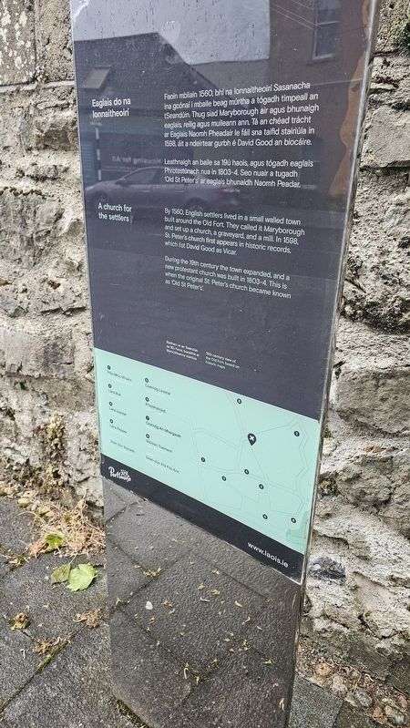
Eaglais do na Lonnaitheoirí
Leathaigh an baile sa 19ú haois, agus tógadh eaglais Phrotastúnach nua in 1803–4. Seo nuair a tugadh Old St Peter’s ar an eaglais bhunaidh Naoimh Peadar.
[English:]
A Church for the Settlers
By 1560, English settlers lived in a small walled town built around the Old Fort. They called it Maryborough and set up a church, a graveyard, and a mill. In 1598, St. Peter’s church first appears in historic records, which list David Good as Vicar.
During the 19th century the town expanded, and a new protestant church was built in 1803–4. This is when the original St. Peter’s church became known as “Old St Peter’s.”
Topics. This historical marker is listed in these topic lists: Forts and Castles • Religion & Religious Structures. A significant historical year for this entry is 1598.
Location. 53° 2.107′ N, 7° 17.826′ W. Marker is in Portlaoise, Leinster, in County Laois. It is in Maryborough. It is on Church Avenue north of Main Street, on the right when traveling south. Touch for map. Marker is at or near this postal address: 3 Church Avenue, Portlaoise, Leinster, Ireland. Touch for directions.

Regionally, it is on the Atlantic Ocean, in the North Atlantic Region, in Europe, on the Island of Ireland, on the Celtic Fringe, in the European Union, in Atlantic Europe, on one of the British Isles, in the Western World, and in the Anglosphere.
Other nearby markers. At least 8 other markers are within walking distance of this marker: Presentation Convent (a
this page online
Photographed by Ian Lefkowitz, May 17, 2026
2. Dún Phort Laoise / The Fort of Portlaoise Marker
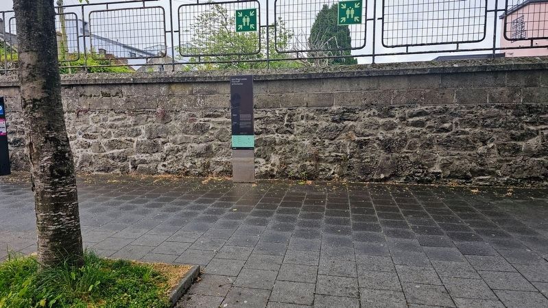
The marker is located at the southern end of the Old Fort. The map is incorrect, indicating that the wayfinding marker was, as of the time of this writing, swapped with a nearby marker.
Credits. This page was last revised on July 9, 2026. It was originally submitted on July 9, 2026, by Ian Lefkowitz of New York, New York. This page has been viewed 7 times since then. Photos: 1, 2. submitted on July 9, 2026, by Ian Lefkowitz of New York, New York. • Andrew Ruppenstein was the editor who published this page.
