De Cocksdorp in Texel, North Holland, Netherlands — Northwestern Europe
Molenbos
Photographed by Andrew Ruppenstein, June 1, 2026
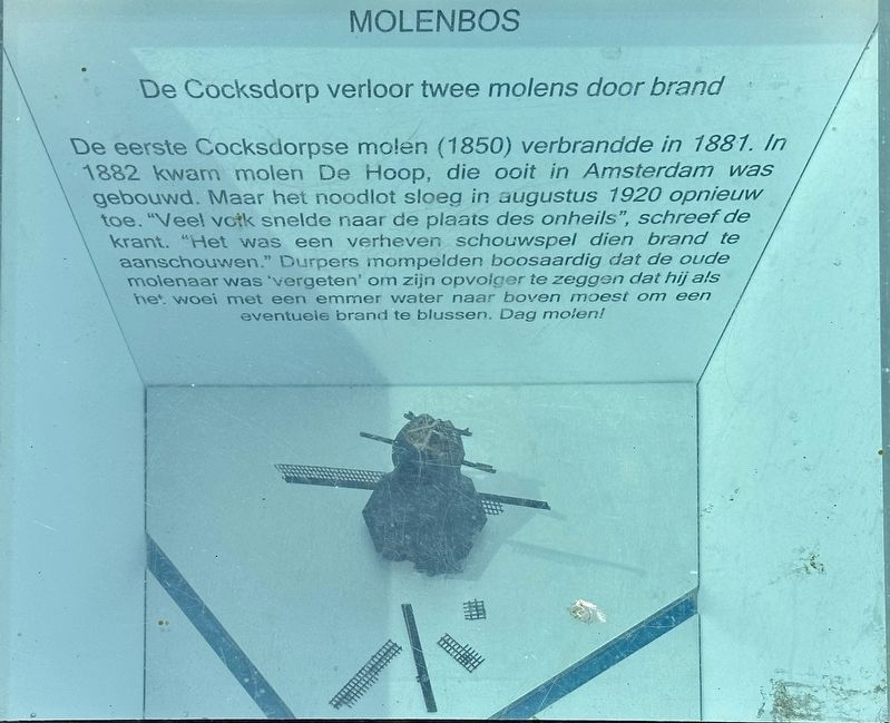
1. Molenbos Marker

De eerste Cocksdorpse molen (1850) verbrandde in 1881. In 1882 kwam molen De Hoop, die ooit in Amsterdam was gebouwd. Maar het noodlot sloeg in augustus 1920 opnieuw toe. "Veel votk snelde naar de plaats des onheils", schreef de krant. "Het was een verheven schouwspel dien brand te aanschouwen." Durpers mompelden boosaardig dat de oude molenaar was 'vergeten' om zijn opvolger te zeggen dat hij als het woei met een emmer water naar boven moest om een eventuele brand te blussen. Dag molen!
De Cocksdorp lost two windmills to fire.
The first mill in De Cocksdorp (1850) burned down in 1881. In 1882, the mill De Hoop — originally built in Amsterdam — took its place. But disaster struck again in August 1920. "Many people rushed to the scene of the calamity," the newspaper reported. "It was a sublime spectacle to behold that fire." Locals muttered spitefully that the old miller had 'forgotten' to tell his successor that, whenever the wind was blowing, he needed to take a bucket of water up with him to extinguish any potential fire.
this page online
Erected 2016.
Topics. This historical marker is listed in this topic list: Industry & Commerce. A significant historical year for this entry is 1881.
Location. 53° 9.288′ N, 4° 52.2′ E. Marker is in De Cocksdorp, Noord-Holland (North Holland), in Texel. It is at the intersection of Molenlaan and Klimpstraat, on the left when traveling south on Molenlaan. Touch for map. Marker is at or near this postal address: Molenlaan 1, De Cocksdorp, Noord-Holland 1795 AM, Netherlands. Touch for directions.

Regionally, this marker is on the German Wadden Sea. Globally, it is in Europe, the European Union, Atlantic Europe, the Benelux Low Countries, the Schengen Area, Western Europe, and the Western World. Historically, it finds itself in what was once the Holy Roman Empire.
Other nearby markers. At least 8 other markers are within walking distance of this marker: RK kerk / Roman Catholic Church (within shouting distance of this marker); Vuurtoren / Lighthouse (within shouting distance of this marker); De Cocksdorp (within shouting distance of this marker); De Niuewe Aanleg (within shouting distance of this marker);
Photographed by Andrew Ruppenstein, June 1, 2026
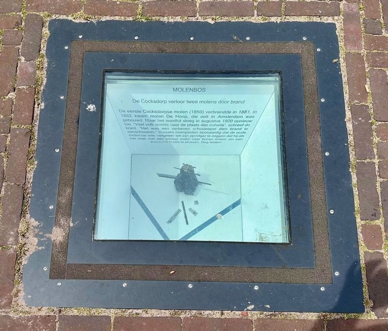
2. Molenbos Marker - wide view
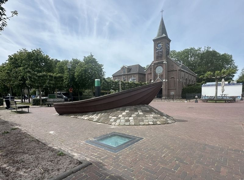
This is one of eight subterranean historical markers set into the sidewalk on the south side of Kikkertstraat.
Photographed by Andrew Ruppenstein, June 1, 2026
3. Molenbos Marker - wider view
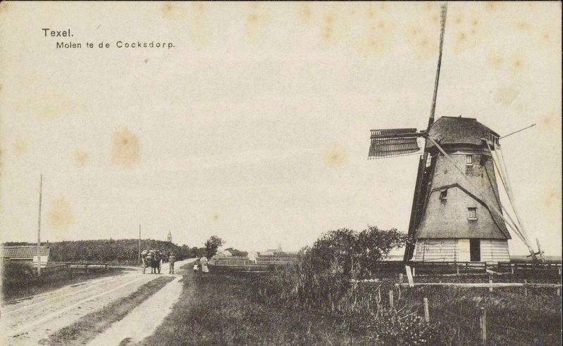
Langeveld & De Rooy, courtesy Noord-Hollands Archief, circa 1910
4. Windmill - De Cocksdorp, looking north on what is now Molenlaan
Credits. This page was last revised on July 10, 2026. It was originally submitted on July 9, 2026, by Andrew Ruppenstein of Lamorinda, California. This page has been viewed 12 times since then. Photos: 1, 2, 3, 4. submitted on July 9, 2026, by Andrew Ruppenstein of Lamorinda, California.
