
Near Tazewell in Tazewell County, Virginia — The American South (Mid-Atlantic)
Thomas Whitten
Patriot
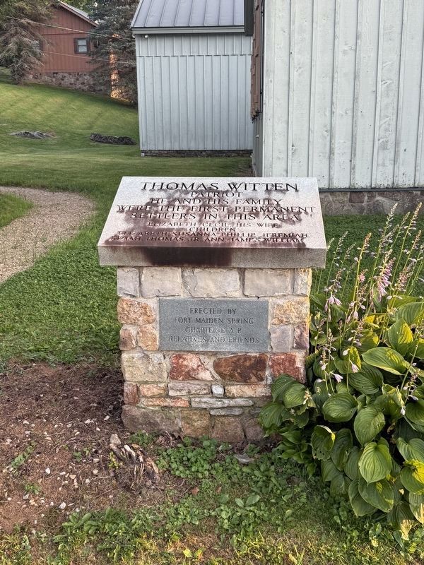
Elizabeth Cecil, his wife
Children
Elizabeth, Susanna, Phillip, Jeremiah, Kiziah, Thomas, Jr., Ann, James, William
Erected by Fort Maiden Spring Chapter, Daughters of the American Revolution; relatives and friends.
Topics and series. This historical marker is listed in this topic list: Settlements & Settlers. In addition, it is included in the Daughters of the American Revolution (DAR) series list.
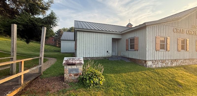
Location. 37° 7.206′ N, 81° 34.443′ W. Marker is near Tazewell, Virginia, in Tazewell County. It is on Crab Orchard Road (Business U.S. 19/460) south of Trail of the Lonesome Pine (U.S. 19/460), on the right when traveling south. Touch for map. Marker is at or near this postal address: 3663 Crab Orchard Rd, Tazewell VA 24651, United States of America. Touch for directions.

Regionally, this marker is in Southwest Virginia. It is also in the American South, specifically in the Upper South, in Appalachia, and specifically in Southern Appalachia. Globally, it is in North America, the Western Hemisphere,
this page online
Other nearby markers. At least 8 other markers are within 3 miles of this marker, measured as the crow flies: Fincastle Turnpike (a few steps from this marker); Big Crab Orchard or Witten’s Fort (within shouting distance of this marker); 250th Anniversary of the United States of America (about 300 feet away, measured in a direct line); Fort Witten (about 300 feet away); Pisgah United Methodist Church (about 300 feet away); Indian-Settler Conflicts (approx. 1.8 miles away); Roark’s Gap Incident (approx. 2.7 miles away); Tazewell (approx. 2.7 miles away). Touch for a list and map of all markers in Tazewell.
Other markers no longer nearby. Big Crab Orchard Or Witten’s Fort (was within shouting distance of this marker but has been replaced with another marker now near it); a different marker also named Pisgah United Methodist Church (was about 300 feet away but has been replaced with another
Credits. This page was last revised on July 9, 2026. It was originally submitted on July 9, 2026, by Devry Becker Jones of Washington, District of Columbia. This page has been viewed 17 times since then. Photos: 1, 2. submitted on July 9, 2026, by Devry Becker Jones of Washington, District of Columbia.
