Norris City in White County, Illinois — The American Midwest (Great Lakes)
Schools
The Building of a Town
Photographed by Jason Voigt, June 9, 2026
1. Schools Marker
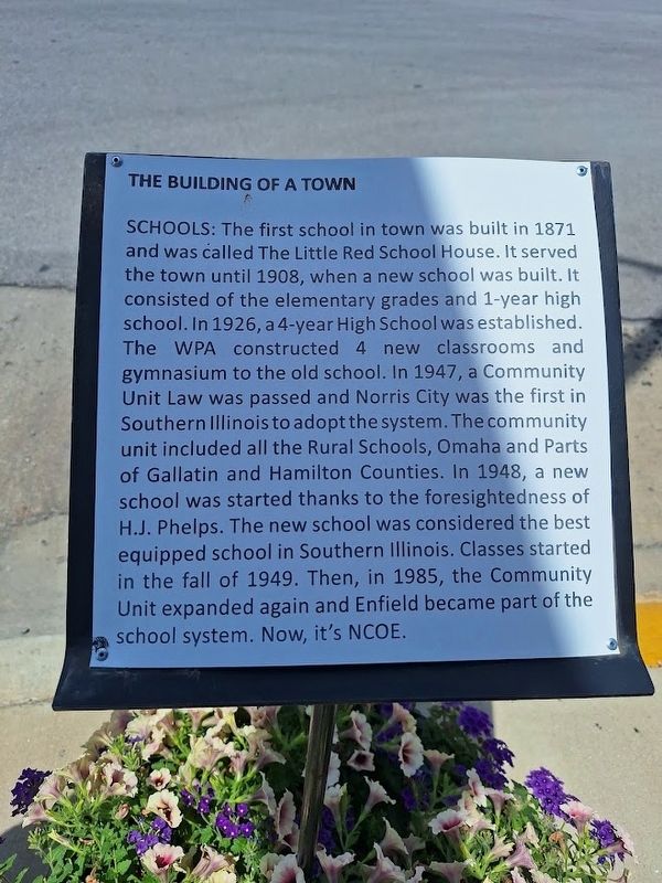
The first school in town was built in 1871 and was called The Little Red School House. It served the town until 1908, when a new school was built. It consisted of the elementary grades and 1-year high school. In 1926, a 4-year High School was established. The WPA constructed 4 new classrooms and gymnasium to the old school. In 1947, a Community Unit Law was passed and Norris City was the first in Southern Illinois to adopt the system. The community unit included all the Rural Schools, Omaha and Parts of Gallatin and Hamilton Counties. In 1948, a new school was started thanks to the foresightedness of H.J. Phelps. The new school was considered the best equipped school in Southern Illinois. Classes started in the fall of 1949. Then, in 1985, the Community Unit expanded again and Enfield became part of the school system. Now, it's NCOE.
Topics. This historical marker is listed in this topic list: Education. A significant historical year for this entry is 1871.
Location. 37° 58.846′ N, 88° 19.724′ W. Marker is in Norris City, Illinois, in White County. It is at the intersection of South Division Street (U.S. 45) and Main Street
this page online

Regionally, this marker is in Southern Illinois — Little Egypt, in the Tri-State Region, and in the Wabash Valley. It is also in the American Midwest, in the Ohio River Valley, and in the Corn Belt. Globally, it is in North America, the Western Hemisphere, the Western World, and the Anglosphere. Historically, it finds itself in what was once the territory of the Mississippian Culture and also the Northwest Territory.
Other nearby markers. At least 8 other markers are within 9 miles of this marker, measured as the crow flies: Business (within shouting distance of this marker); Railroads (within shouting distance of this marker); Churches (within shouting distance of this marker); Sohio (about 300 feet away, measured in a direct line); Texas Eastern (about 300 feet away); War Emergency Pipeline (approx. 0.7 miles away); The First Presbyterian Church In Illinois (approx. 3.9 miles away); Southern Illinois College

Photographed by Jason Voigt, June 9, 2026
2. Schools Marker

Photographed by Jason Voigt, June 9, 2026
3. Schools Marker
Marker is in front of this building.
Credits. This page was last revised on July 9, 2026. It was originally submitted on July 9, 2026, by Jason Voigt of Glen Carbon, Illinois. This page has been viewed 10 times since then. Photos: 1, 2, 3. submitted on July 9, 2026, by Jason Voigt of Glen Carbon, Illinois.
