Adams Basin in Monroe County, New York — The American Northeast (Mid-Atlantic)
Adams Basin School
Photographed by Bradley Owen, July 7, 2026
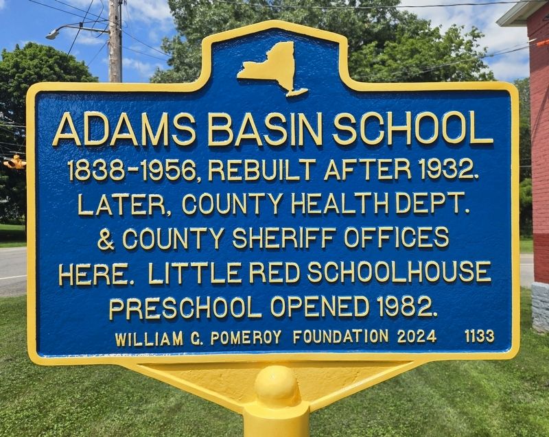
1. Adams Basin School Marker
1838-1956, rebuilt after 1932. Later, County Health Dept. & County Sheriff Offices here. Little red schoolhouse preschool opened 1982.
Erected 2024 by William G. Pomeroy Foundation. (Marker Number 1133.)
Topics and series. This historical marker is listed in these topic lists: Education • Government & Politics. In addition, it is included in the William G. Pomeroy Foundation series list. A significant historical year for this entry is 1932.
Location. 43° 11.834′ N, 77° 51.218′ W. Marker is in Adams Basin, New York, in Monroe County. It is at the intersection of Washington Street (County Route 212) and Canal Road (County Route 175), on the left when traveling south on Washington Street. Touch for map. Marker is at or near this postal address: 416 Washington Street, Spencerport NY 14559, United States of America. Touch for directions.

Regionally, this marker is in Upstate New York, specifically in Western New York, in the Finger Lakes, and in the Rochester Metropolitan Area. It is also in the American Northeast and in the Mid-Atlantic. Globally, it is in North America, on the Great Lakes, in the Western
this page online
Other nearby markers. At least 8 other markers are within 4 miles of this marker, measured as the crow flies: Site of Home of Alexander Milliner (within shouting distance of this marker); The Adams-Ryan House (about 400 feet away, measured in a direct line); The Canalway Trail: Unlock the Adventure / Business Along The Erie Canal (about 500 feet away); Houston Tavern (approx. 2 miles away); Lester C. Merz (approx. 2.7 miles away); Sodoma Farms (approx. 3.1 miles away); Town Pump School (approx. 3.1 miles away); Soldiers' Memorial Tower (approx. 3.4 miles away). Touch for a list and map of all markers in Adams Basin.
Photographed by Bradley Owen, July 7, 2026
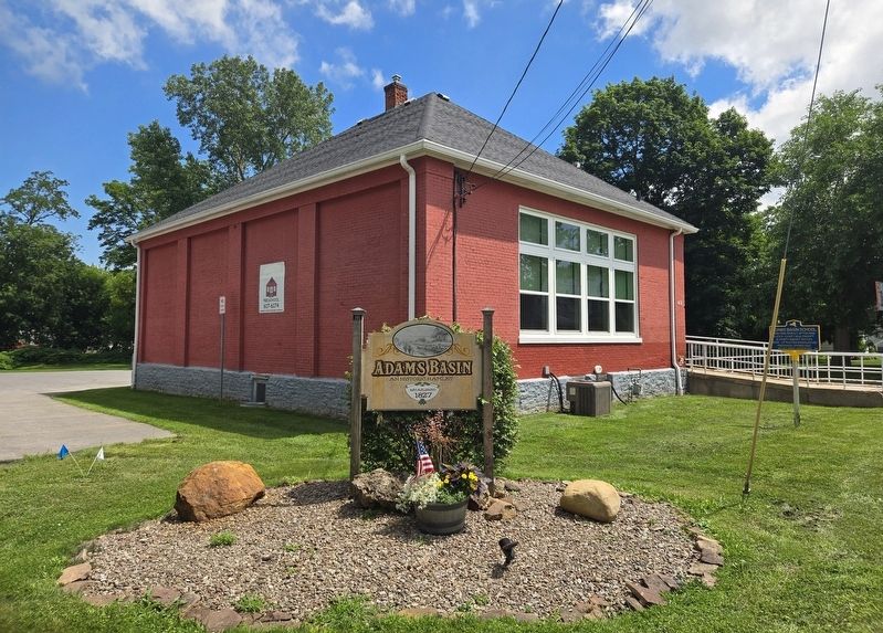
2. Adams Basin School Marker
Marker is located at the far right.
Credits. This page was last revised on July 10, 2026. It was originally submitted on July 10, 2026, by Bradley Owen of Morgantown, West Virginia. This page has been viewed 11 times since then. Photos: 1, 2. submitted on July 10, 2026, by Bradley Owen of Morgantown, West Virginia.
