Kelleys Island in Erie County, Ohio — The American Midwest (Great Lakes)
Columbus Limestone
⎯⎯⎯
Kelleys Island Lime & Transport Co.
Erie County Historical Society, September 28, 2024
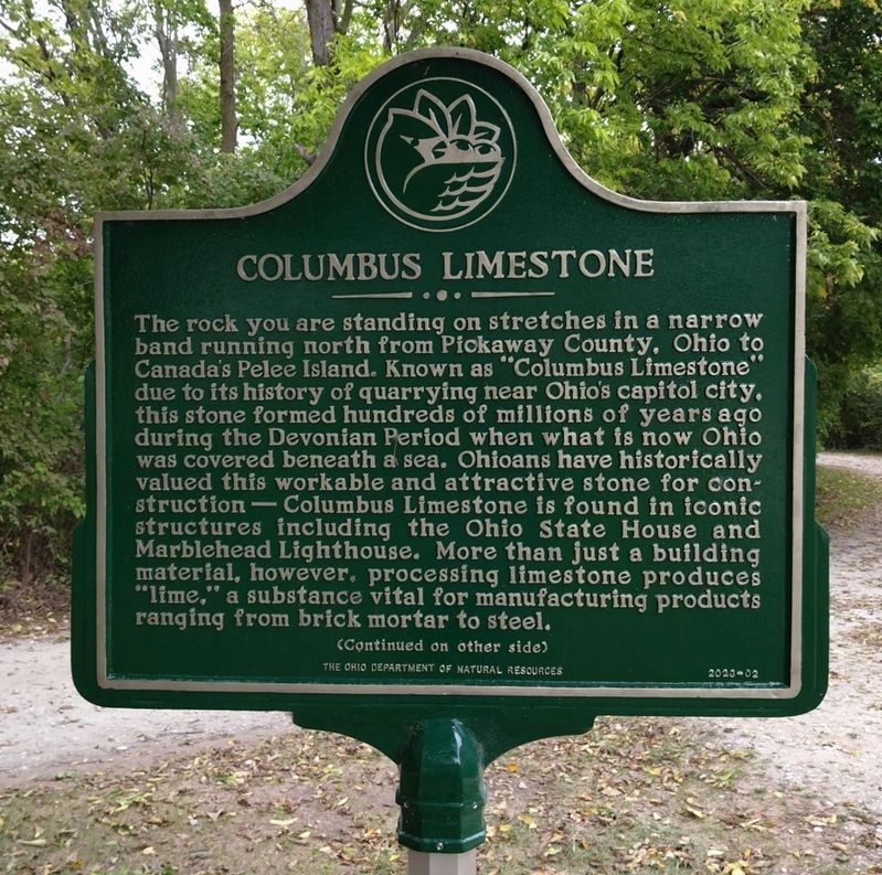
1. Columbus Limestone side of the marker
Columbus Limestone. The rock you are standing on stretches in a narrow band running north from Pickaway County, Ohio to Canada’s Pelee Island. Known as “Columbus Limestone” due to its history of quarrying near Ohio’s capitol city, this stone formed hundreds of millions of years ago during the Devonian Period when what is now Ohio was covered beneath a sea. Ohioans have historically valued this workable and attractive stone for construction – Columbus Limestone is found in iconic structures including the Ohio State House and Marblehead Lighthouse. More than just a building material, however, processing limestone produces “lime,” a substance vital for manufacturing projects ranging from brick mortar to steel.
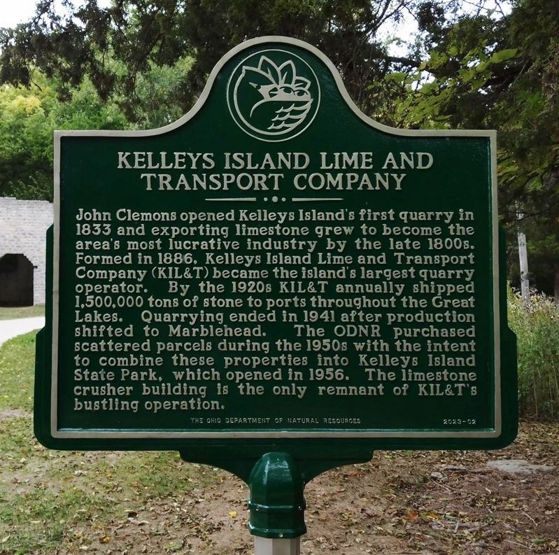
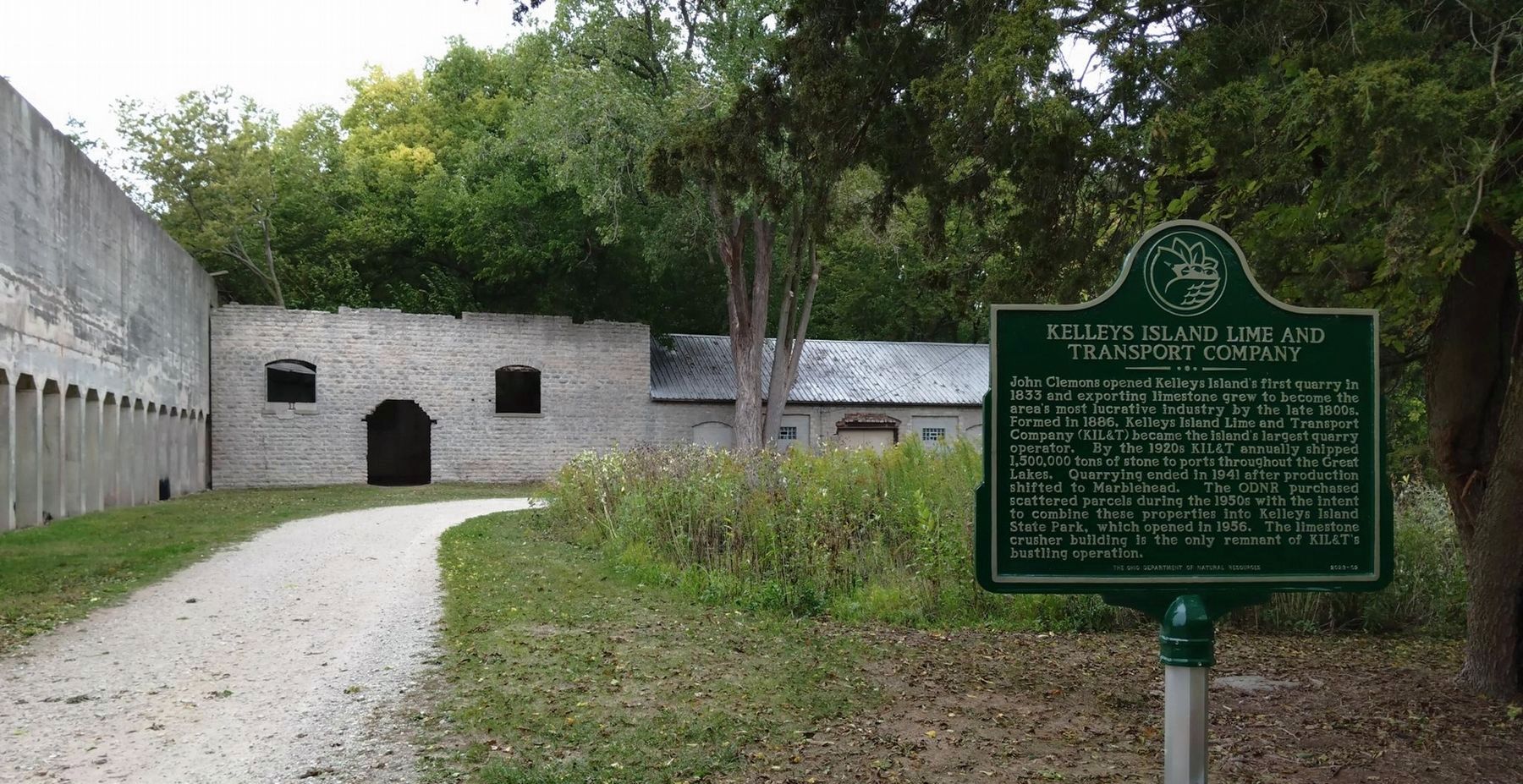
Kelleys Island Lime and Transport Company. John Clemons opened Kelleys Island's first quarry in 1833 and exporting limestone grew to become the area's most lucrative industry by the late 1800s. Formed in 1886, Kelleys Island Lime and Transport Company (KIL&T) became the island's largest quarry operator. By the 1920s KIL&T annually shipped 1,500,000 tons of stone to ports throughout the Great Lakes. Quarrying ended
this page online
Erected 2024 by Ohio Department of Natural Resources. (Marker Number 2023-02.)
Topics. This historical marker is listed in these topic lists: Architecture • Industry & Commerce. A significant historical year for this entry is 1833.
Location. 41° 37.077′ N, 82° 42.388′ W. Marker is on Kelleys Island, Ohio, in Erie County. It can be reached from Division Street north of Titus Road (Ohio Route 575) when traveling north. Touch for map. Marker is at or near this postal address: 9 Kelleys Island State Pk, Kelleys Island OH 43438, United States of America. Touch for directions.

Regionally, this marker is on the Lake Erie Shore and in the Western Reserve. It is also in the American Midwest and in the Corn Belt. Globally, it is in North America, on the Great Lakes, in the Western Hemisphere, in the Western World, and in the Anglosphere. Historically,
Erie County Historical Society, September 28, 2024
2. Kelleys Island Lime & Transport Co. side of the marker
Other nearby markers. At least 8 other markers are within walking distance of this marker: The Crusher Trail (here, next to this marker); The Crusher Process (a few steps from this marker); The Small, but Mighty (within shouting distance of this marker); Island History (about 600 feet away); Welcome to Glacial Grooves Geological Preserve (about 600 feet away); a different marker also named The Crusher Trail (about 700 feet away); Quarrying (about 700 feet away); Excavation (about 700 feet away). Touch for a list and map of all markers in Kelleys Island.
Another marker is no longer nearby. Glacial Grooves State Memorial (was about 600 feet away, measured in a direct line but has been permanently removed).
Erie County Historical Society, September 28, 2024
3. Columbus Limestone Marker
Credits. This page was last revised on July 13, 2026. It was originally submitted on December 2, 2024, by Erie County Historical Society of Sandusky, Ohio. This page has been viewed 395 times since then and 119 times this year. Last updated on July 11, 2026, by Craig Doda of Napoleon, Ohio. Photos: 1, 2, 3. submitted on December 2, 2024, by Erie County Historical Society of Sandusky, Ohio. • Devry Becker Jones was the editor who published this page.
