Oakville in Halton Region, Ontario — Central Canada (North America)
Gairloch Gallery
Photographed by Tim Boyd, July 10, 2026
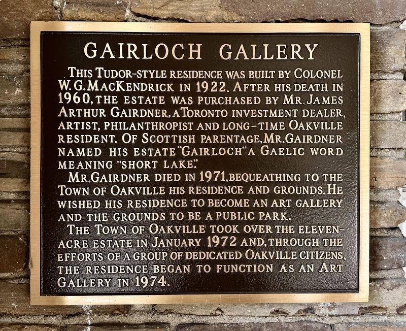
1. Gairloch Gallery Marker
Mr. Gairdner died in 1971, bequeathing to the Town of Oakville his residence and grounds. He wished his residence to become an art gallery and the grounds to be a public park.
The Town of Oakville took over the eleven-acre estate in January 1972 and, through the efforts of a group of dedicated Oakville citizens, the residence began to function as an art gallery in 1974.
Topics. This historical marker is listed in these topic lists: Arts, Letters, Music • Charity & Public Work. A significant historical month for this entry is January 1972.
Location. 43° 27.651′ N, 79° 38.811′ W. Marker is in Oakville, Ontario, in Halton Region. It can be reached from no nearby street. The marker is in Gairloch Gardens, approx. 350 metres south of Lakeshore Road east, at the entrance to the gallery on the
this page online

Regionally, this marker is in Greater Toronto, specifically on the Golden Horseshoe, in the Hamilton-Halton-Brant Area, and specifically in the Toronto Metropolitan Area. It is also in Central Canada. Globally, it is in North America, on the Great Lakes, in the Western Hemisphere, in the Western World, and in the Anglosphere. Historically, it finds itself in what was once a British colony, the Viceroyalty of New France, the Haudenosaunee (Iroquois) Confederacy, and Rupert’s Land.
Other nearby markers. At least 8 other markers are within 3 kilometers of this marker, measured as the crow flies: St. Mary’s School (approx. 2 kilometers away); St. Andrew’s Parish (approx. 2 kilometers away); The Lorne Scots (approx. 2.2 kilometers away); The Underground Railroad (approx. 2.2 kilometers away); Heritage Homes of Trafalgar Road and George's Square (approx. 2.2 kilometers away); Churches Schools and Taverns (approx. 2.2 kilometers away); The Prosperous Years (approx.
Photographed by Tim Boyd, July 10, 2026
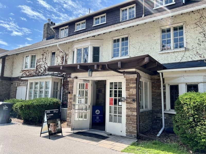
2. Gairloch Gallery Marker
The marker is visible at the centre of the photo, in between the two doors, on the east side of the house.
Photographed by Tim Boyd, July 10, 2026
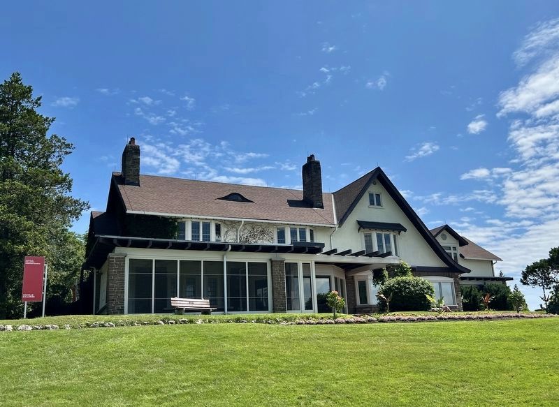
3. The Gairloch estate house, west side
Photographed by Tim Boyd, July 10, 2026
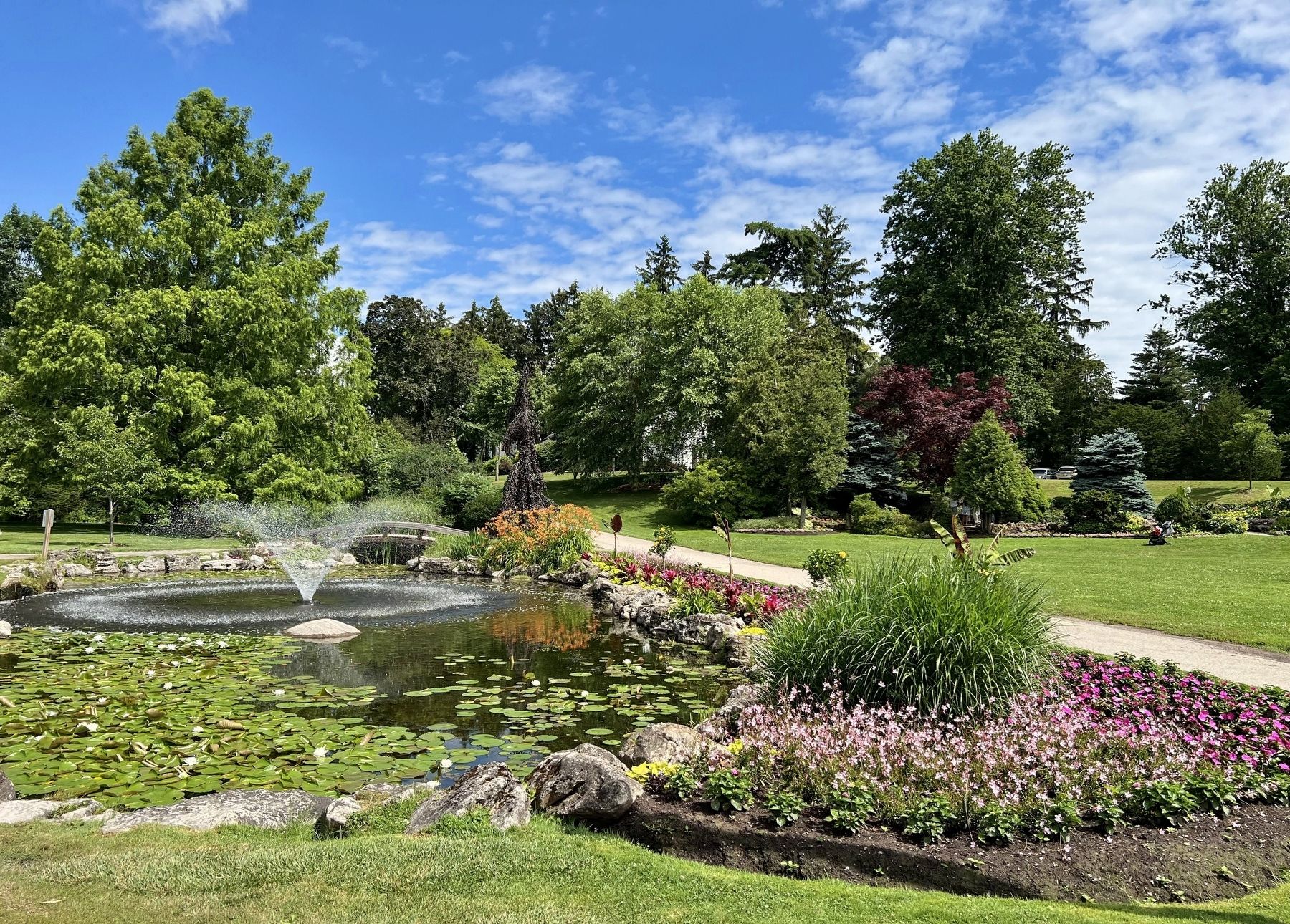
4. Gairloch Gardens in 2026
Credits. This page was last revised on July 12, 2026. It was originally submitted on July 11, 2026, by Tim Boyd of Hamilton, Ontario. This page has been viewed 13 times since then. Photos: 1, 2, 3, 4. submitted on July 11, 2026, by Tim Boyd of Hamilton, Ontario. • Andrew Ruppenstein was the editor who published this page.
