
Union in St. James Parish, Louisiana — The American South (West South Central)
Philippian Baptist Church
Photographed by Cajun Scrambler, July 5, 2026
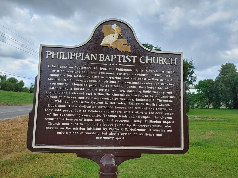
1. Philippian Baptist Church Marker
Established on September 28, 1901, the Philippian Baptist Church has stood as a cornerstone of Union, Louisiana, for over a century. In 1902, the congregation wasted no time in acquiring land and constructing its first building, which soon became a spiritual and communal center for growing community. Alongside providing spiritual guidance, the church has also established a burial ground for its members, honoring their memory and ensuring their eternal rest within the church's embrace. Led by a committed group of officers and building community members, including A. Thompson. J. Whitney, and Pastor George D. McGruder, Philippian Baptist Church flourished. Their dedication extended beyond the walls of the church, as they sold parcel lots to members and others, contributing to the development of the surrounding community. Through trials and triumphs. the church remained a beacon of hope, unity, and progress. Today, Philippian Baptist Church continues to uphold its legacy guided by its current pastor, who carries on the mission initiated by Pastor G.D. McGruder. It remains not only a place of worship, but also
this page online
Erected 2026.
Topics. This historical marker is listed in this topic list: Religion & Religious Structures. A significant historical date for this entry is September 28, 1901.
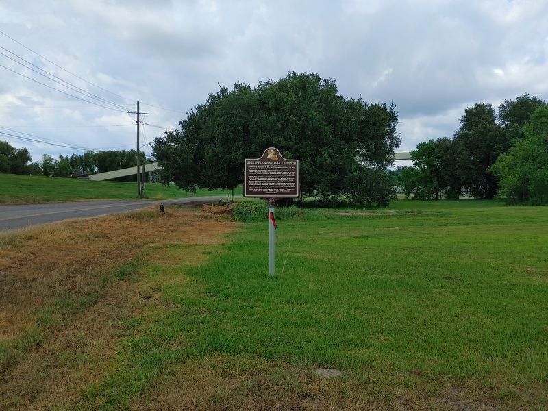
Location. 30° 5.372′ N, 90° 54.358′ W. Marker is in Union, Louisiana, in St. James Parish. It is on River Road (State Road 44) near Burnside Street, on the right when traveling north. Touch for map. Marker is in this post office area: Convent LA 70723, United States of America. Touch for directions.

Regionally, this marker is in the River Parishes and in Greater New Orleans. It is also in the American South, specifically in the Deep South, on the Gulf Coast, and in the Great River Road Region. Globally, it is in North America, a Gulf of Mexico state, the Western Hemisphere, the Western World, and the Anglosphere. Historically, it finds itself in what was once New Spain, the territory of the Mississippian Culture, the Louisiana Purchase, one of the Confederate States of America, and the Antebellum South.
Other nearby markers. At least 8 other markers are within 5 miles of this marker, measured as the crow
Photographed by Cajun Scrambler, July 5, 2026
2. Philippian Baptist Church Marker
Another marker is no longer nearby. L'Hermitage (was approx. 3.6 miles away but has been confirmed missing).
More about this marker. Although not on marker, it was placed, in part, by Inclusive Louisiana organization, and local donors.
Credits. This page was last revised on July 11, 2026. It was originally submitted on July 11, 2026, by Cajun Scrambler of Assumption, Louisiana. This page has been viewed 10 times since then. Photos: 1, 2. submitted on July 11, 2026, by Cajun Scrambler of Assumption, Louisiana.
