
Pine Bluff in Jefferson County, Arkansas — The American South (West South Central)
Methodist Church
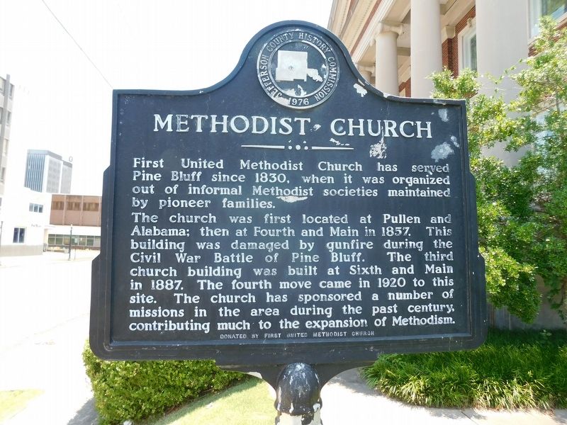
Photographed by Jimmy Emerson, July 5, 2026
1. Methodist Church Marker
Erected 1976 by First United Methodist Church.
Topics. This historical marker is listed in this topic list: Religion & Religious Structures. A significant historical year for this entry is 1857.
Location. 34° 13.42′ N, 92° 0.305′ W. Marker is in Pine Bluff, Arkansas, in Jefferson County. It is at the intersection of West 6th Avenue and S Pine Street, on the right when traveling east on West 6th Avenue. Touch for map. Marker is at or near this postal address: 200 W 6th Avenue, Pine Bluff AR 71601, United States of America. Touch for directions.

Regionally, this
this page online
Other nearby markers. At least 8 other markers are within walking distance of this marker: Saenger Theatre (approx. 0.3 miles away); Boone-Murphy House / Union Strategy and Pine Bluff (approx. 0.3 miles away); Joseph Bonne Cabin (approx. 0.4 miles away); Barraque Street (approx. 0.4 miles away); Auguste La noir de Serville (approx. 0.4 miles away); Battle of Pine Bluff (approx. 0.4 miles away); Jefferson County First Court House (approx. 0.4 miles away); A Memorial to the War that United the North and South (approx. 0.4 miles away). Touch for a list and map of all markers in Pine Bluff.
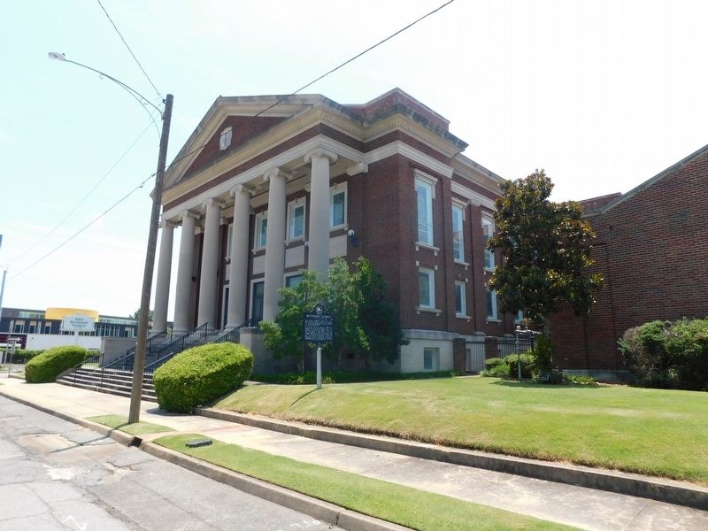
Photographed by Jimmy Emerson, July 5, 2026
2. Methodist Church & Marker
Credits. This page was last revised on July 12, 2026. It was originally submitted on July 12, 2026, by Jimmy Emerson of Dalton, Georgia. This page has been viewed 12 times since then. Photos: 1, 2. submitted on July 12, 2026, by Jimmy Emerson of Dalton, Georgia. • Andrew Ruppenstein was the editor who published this page.
