Andrews in Cherokee County, North Carolina — The American South (South Atlantic)
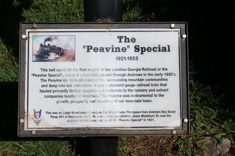
The "Peavine" Special
1921-1953
Photographed by Tom Bosse, September 5, 2020
1. The "Peavine" Special Marker
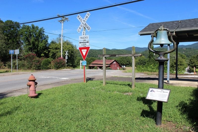
This bell came off the first engine of the Carolina-Georgia Railroad or the "Peavine" Special, one of 5 trains that passed through Andrews in the early 1920's. The Peavine ran through many of the surrounding mountain communities and deep into the mountains. It was a standard gauge railroad train that hauled primarily timber, supplies and materials to the tannery and extract companies located in Andrews. The Peavine was instrumental to the growth, prosperity and economy of our mountain town.
This was an Eagle Scout project designed by ___ Kylan Thompson from Andrews Boy Scout Troop 401 in December 2913. His great-great-grandfather, Jesse Mashburn Sr. was the engineer on the inaugural run of the "Peavine Special" in 1921.
Erected by Boy Scout Troop 401.
Topics and series. This historical marker is listed in these topic lists: Communications • Railroads & Streetcars. In addition, it is included in the Historic Bells series list. A significant month for this entry is December.
Location. 35° 12.122′ N, 83° 49.527′ W. Marker has been reported unreadable. Marker is in Andrews, North Carolina, in Cherokee County.
this page online

Regionally, this marker is in the Mountains. It is also in the American South, specifically in the Upper South, in Appalachia, and specifically in Southern Appalachia. Globally, it is in North America, the Western Hemisphere, the Western World, and the Anglosphere. Historically, it finds itself in what was once the original Cherokee Nation, the territory of the Mississippian Culture, one of the original Thirteen Colonies, one of the Confederate States of America, and the Antebellum South.
Other nearby markers. At least 8 other markers are within 9 miles of this location, measured as the crow flies: Harold H. Hall (within shouting distance of this marker); Valleytown Center (about 800 feet away, measured in a direct line); Fort Delaney (approx. 0.3 miles away); Resistance and Resurgence on Valley River (approx. 0.3 miles away); Konehete (approx. 0.3 miles away); The Old Army Road
Photographed by Tom Bosse, July 12, 2026
2. The "Peavine" Special Marker
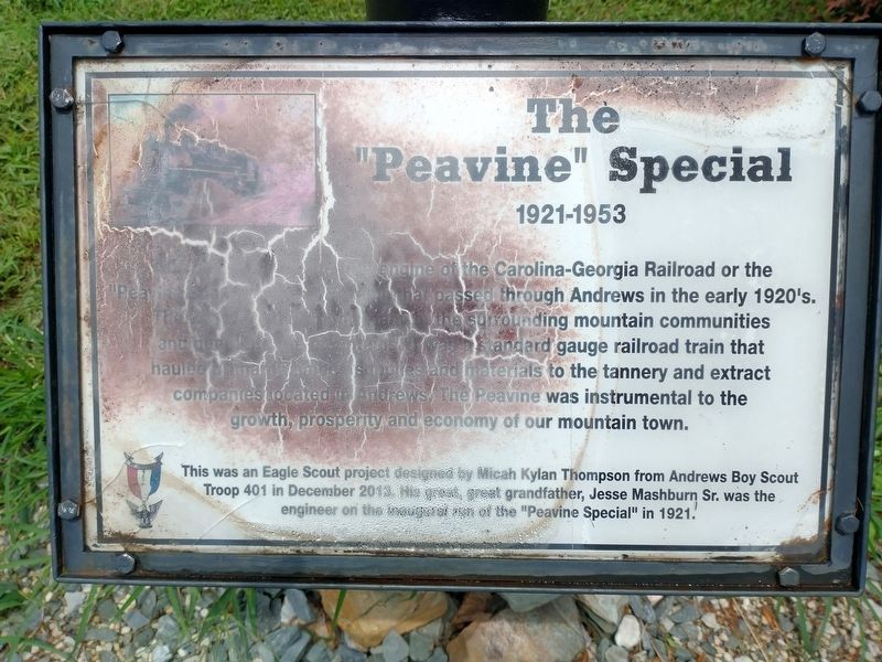
Unfortunately, the marker has weathered significantly.
Photographed by Tom Bosse, September 5, 2020
3. The "Peavine" Special Marker
Photographed by Tom Bosse, September 5, 2020
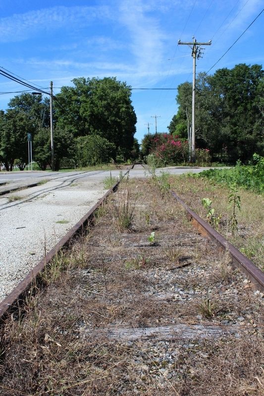
4. Tracks Behind Marker
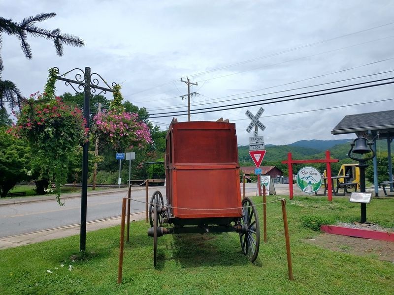
Photographed by Tom Bosse, July 12, 2026
5. The "Peavine" Special Marker
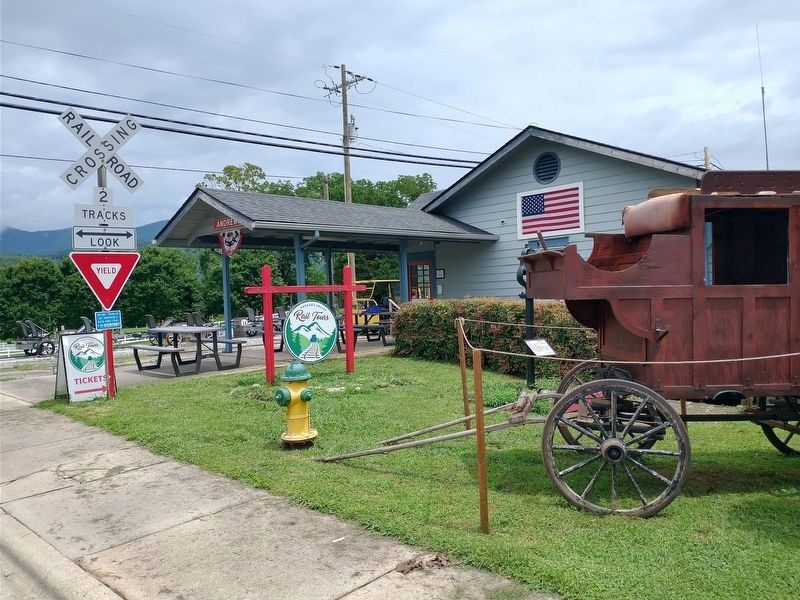
Photographed by Tom Bosse, July 12, 2026
6. The "Peavine" Special Marker
Credits. This page was last revised on July 30, 2026. It was originally submitted on September 13, 2020, by Tom Bosse of Jefferson City, Tennessee. This page has been viewed 1,121 times since then and 105 times this year. Last updated on July 13, 2026, by Tom Bosse of Jefferson City, Tennessee. Photos: 1. submitted on September 13, 2020, by Tom Bosse of Jefferson City, Tennessee. 2. submitted on July 13, 2026, by Tom Bosse of Jefferson City, Tennessee. 3, 4. submitted on September 13, 2020, by Tom Bosse of Jefferson City, Tennessee. 5, 6. submitted on July 13, 2026, by Tom Bosse of Jefferson City, Tennessee. • Devry Becker Jones was the editor who published this page.
