
Taylors Island in Dorchester County, Maryland — The American Northeast (Mid-Atlantic)
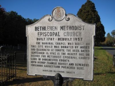
Bethlehem Methodist Episcopal Church
Built 1787 - Rebuilt 1857
Photographed by F. Robby, November 4, 2007
1. Bethlehem Methodist Episcopal Church Marker
The original chapel was built on this site which was donated by Moses and Elizabeth LeCompte. The deed, dated September 15, 1787, is the oldest one on record for Methodist Episcopal Church land in Dorchester County. Both Bishop Francis Asbury and Reverend Freeborn Garrettson preached here.
Erected 1971 by Maryland Historical Society.
Topics and series. This historical marker is listed in this topic list: Religion & Religious Structures. In addition, it is included in the Francis Asbury, Traveling Methodist Preacher, and the Maryland Historical Trust series lists. A significant historical date for this entry is September 15, 1787.
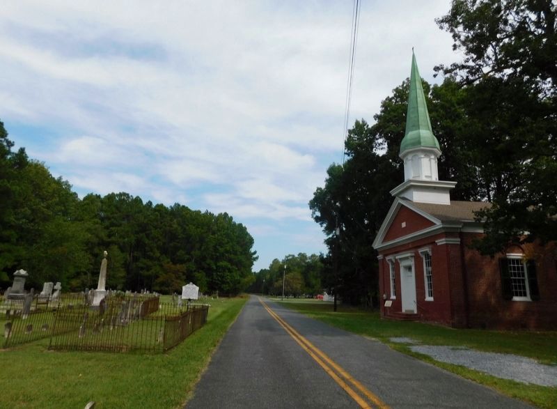
Location. 38° 28.93′ N, 76° 18.959′ W. Marker is on Taylors Island, Maryland, in Dorchester County. It is on Hoopers Neck Road 1½ miles north of Taylors Island Road (Maryland Route 16), on the left when traveling north. Marker is on opposite side of the road as the church. Touch for map. Marker is at or near this postal address: 4519 Hoopers Neck Rd, Taylors Island MD 21669, United States of America. Touch for directions.

Regionally, this marker is on the Eastern Shore. It is also in the American Mid-Atlantic,
this page online
Other nearby markers. At least 8 other markers are within 2 miles of this marker, measured as the crow flies: Grace Episcopal Church (approx. 0.9 miles away); Chapel of Ease (approx. 0.9 miles away); Old Schoolhouse (approx. 0.9 miles away); a different marker also named Chapel of Ease (approx. 0.9 miles away); First School House (approx. 0.9 miles away); Trapped (approx. 1½ miles away); The Becky Phipps (approx. 1½ miles away); Battle of the Ice Mound (approx. 1½ miles away). Touch for a list and map of all markers in Taylors Island.
Photographed by Jimmy Emerson, September 2, 2024
2. Bethlehem Methodist Episcopal Church Marker
Photographed by F. Robby, November 4, 2007
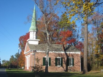
3. Bethlehem Church
Credits. This page was last revised on July 14, 2026. It was originally submitted on December 8, 2007, by F. Robby of Baltimore, Maryland. This page has been viewed 1,438 times since then and 40 times this year. Last updated on July 14, 2026, by Jimmy Emerson of Dalton, Georgia. Photos: 1. submitted on December 8, 2007, by F. Robby of Baltimore, Maryland. 2. submitted on July 13, 2026, by Jimmy Emerson of Dalton, Georgia. 3. submitted on December 8, 2007, by F. Robby of Baltimore, Maryland. • Devry Becker Jones was the editor who published this page.
