Near Charleston in Charleston County, South Carolina — The American South (South Atlantic)
Fort Sumter 1861-65
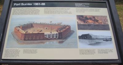
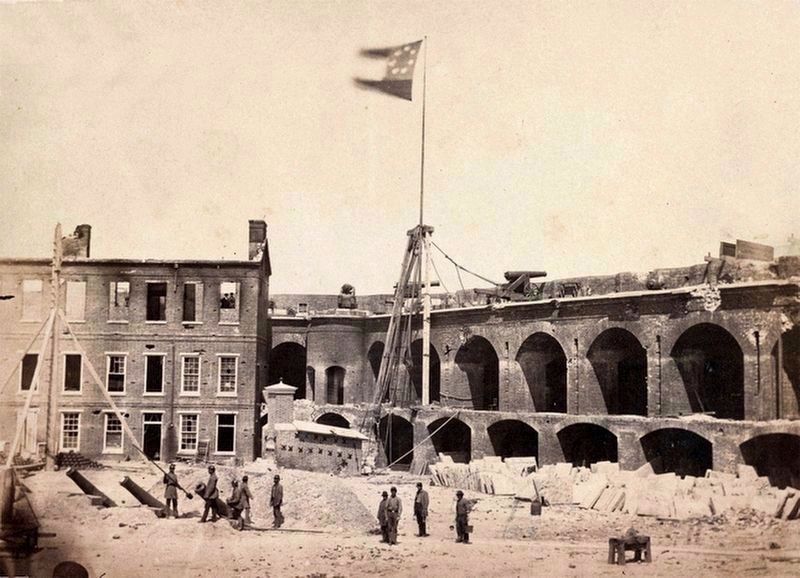
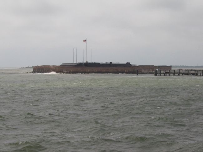
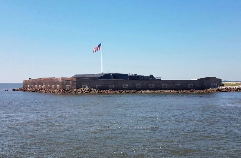
Fort Sumter was subjected to a Union blockade, attacks by ironclad warships, and a twenty-two month siege, one of the longest in U.S. Military History. Heavy shelling by Union land batteries (1863-65) reduced most of the fort to a mound of rubble by the war's end.
(Sidebar):
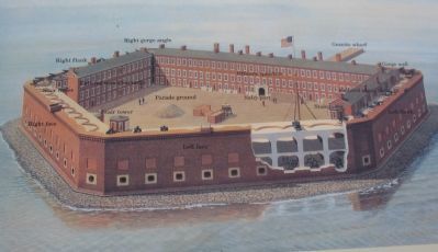
In 1861 construction of Fort Sumter was nearly complete. An imposing, three-tiered structure with brick walls fifty feet high and five feet thick, the fort was designed to support 135 guns and a garrison of 650 men. The pentagon-shaped fort was described as one of the "most spectacular harbor defense structures to come out of any era of military architecture."
Erected by Fort Sumter National Monument, South Carolina - National Park Service - U.S. Department of the Interior.
Topics and series. This historical marker is listed in these topic lists: Forts and Castles • War, US Civil . In addition, it is included in the Battlefield Trails - Civil War series list. A significant historical month for this entry is April 1956.
Location. 32° 45.144′ N, 79° 52.491′ W. Marker is near Charleston, South Carolina, in Charleston County. Marker is located at Fort Sumter National Monument and only reached by boat. See links below for more information about access to the site. Touch for map. Marker is in this post office area: Charleston SC 29412, United States of America. Touch for directions.
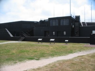
Other nearby markers. At least 8 other markers are within walking distance of this marker. Battery Huger (here, next to this marker); Fort Sumter Today (here, next to this marker); Charleston Besieged (a few steps from this marker); Fort Johnson (a few steps from this marker); The Garrison Defending Fort Sumter (a few steps from this marker); Gorge Wall (a few steps from this marker); Holding the Fort (a few steps from this marker); Fort Moultrie (within shouting distance of this marker). Touch for a list and map of all markers in Charleston.
More about this marker. On the left side of the marker is an illustration showing key features of the fort, including the flanks and facings, parade ground, wharf, stair towers, and sally port. On the right are illustrations showing the fort during the war, with the caption, Confederate bombardment of Fort Sumter in 1861 force the surrender of the Federal garrison and signaled the beginning of the Civil War. Nearly two years of Union shelling (1863-65) reduced most of Fort Sumter to a rubble mound, documented in this 1865 photograph.
Related markers. Click here for a list of markers that are related to this marker. Virtual Tour of Fort Sumter by Markers.
Credits. This page was last revised on September 18, 2020. It was originally submitted on May 10, 2010, by Craig Swain of Leesburg, Virginia. This page has been viewed 2,370 times since then and 63 times this year. It was the Marker of the Week April 9, 2017. Photos: 1. submitted on May 10, 2010, by Craig Swain of Leesburg, Virginia. 2. submitted on August 17, 2013, by Bill Coughlin of Woodland Park, New Jersey. 3. submitted on May 10, 2010, by Craig Swain of Leesburg, Virginia. 4. submitted on April 8, 2017, by J. J. Prats of Powell, Ohio. 5, 6. submitted on May 10, 2010, by Craig Swain of Leesburg, Virginia. 7. submitted on September 12, 2020, by Bradley Owen of Morgantown, West Virginia.
