Woolwine in Patrick County, Virginia — The American South (Mid-Atlantic)
Our Historic Covered Bridges

Photographed by C. Ryan Dodson, July 11, 2026
1. Our Historic Covered Bridges Marker
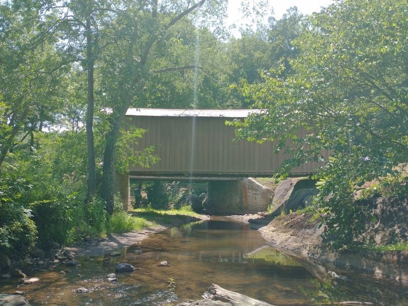
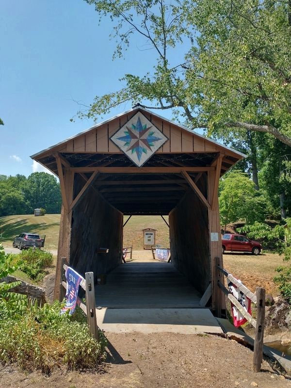
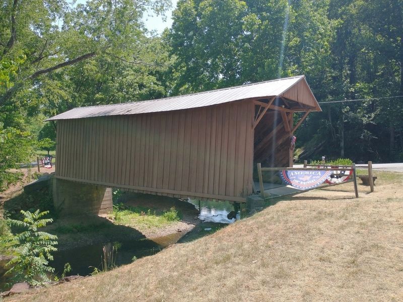
Designed by Walter Weaver of Woolwine and bulit by Charles Vaughn of Buffalo Ridge in 1914, the Jack's Creek Covered Bridge is the last remaining covered bridge in Patrick County. The bridge was placed on the National Register of Historic Places on May 22, 1973. The bridge spans a total distance of 42 feet. The site hosts the annual Patrick County Covered Bridge Festival each June, and the bridge is being preserved for future generations by the county.
On Tuesday, September 29th, 2015, the Bob White Covered Bridge in Woolwine was washed away during torrential mountain flooding. Both a Virginia and National Historic Landmark, the 80 foot long bridge was constructed in 1921 and has served the community ever since. It played host to the annual Virginia Covered Bridge Festival, along with its sister bridge, Jack's Creek Covered Bridge.
Due to exorbitant costs and fees, the Covered Bridge Committee is taking donations to help fund the reconstruction of the bridge.
We are asking that you donate any amount possible to rebuild this beautiful, historic structure,
this page online
Donations can be made at youcaring.com or mailed to Woolwine RFR Covered Bridge Committee, PO Box 275, Woolwine, VA 24185.
Erected by Patrick County.
Topics and series. This historical marker is listed in these topic lists: Architecture • Bridges & Viaducts • Disasters. In addition, it is included in the Covered Bridges series list. A significant historical date for this entry is September 29, 2015.
Location. 36° 45.867′ N, 80° 16.419′ W. Marker is in Woolwine, Virginia, in Patrick County. It is on Jacks Creek Road, on the right when traveling west. Touch for map. Marker is at or near this postal address: 1271 Jacks Creek Road, Stuart VA 24171, United States of America. Touch for directions.

Regionally, this marker is in Southern Virginia and in the Blue Ridge Highlands. It is also in the American South, specifically in the Upper South, in Appalachia, and specifically

Photographed by C. Ryan Dodson, July 11, 2026
2. Our Historic Covered Bridges Marker
Other nearby markers. At least 8 other markers are within 7 miles of this marker, measured as the crow flies: Jacks Creek Covered Bridge (a few steps from this marker); a different marker also named Jack's Creek Covered Bridge (within shouting distance of this marker); Blue Ridge Mission School (approx. 2.3 miles away); Dehart Homeplace (approx. 3.6 miles away); Rock Castle Gorge (approx. 5.2 miles away); America's Rural Landscape (approx. 5.3 miles away); Buffalo Mountain (approx. 5½ miles away); Rakes Mill Pond (approx. 7 miles away). Touch for a list and map of all markers in Woolwine.

Photographed by C. Ryan Dodson, July 11, 2026
3. Our Historic Covered Bridges Marker

Photographed by C. Ryan Dodson, July 11, 2026
4. Our Historic Covered Bridges Marker
As seen from the Jack's Creek Covered Bridge.

Photographed by C. Ryan Dodson, July 11, 2026
5. Our Historic Covered Bridges Marker
The historic Jack's Creek Covered Bridge can be seen in the background.

Photographed by C. Ryan Dodson, July 11, 2026
6. Jack's Creek Covered Bridge
Photographed by Tom Bosse, July 5, 2026
7. Jack's Creek Covered Bridge
Photographed by Tom Bosse, July 5, 2026
8. Our Historic Covered Bridges Marker
Photographed by Tom Bosse, July 5, 2026
9. Jack's Creek Covered Bridge
Credits. This page was last revised on August 6, 2026. It was originally submitted on July 15, 2026, by C. Ryan Dodson of Danville, Virginia. This page has been viewed 33 times since then. Photos: 1, 2, 3, 4, 5, 6. submitted on July 15, 2026, by C. Ryan Dodson of Danville, Virginia. 7, 8, 9. submitted on August 2, 2026, by Tom Bosse of Jefferson City, Tennessee. • Andrew Ruppenstein was the editor who published this page.
