Newcomb in Essex County, New York — The American Northeast (Mid-Atlantic)
Heart of the Park
How Do You Move a Community
Photographed by Steve Stoessel, July 12, 2026
1. Heart of the Park Marker
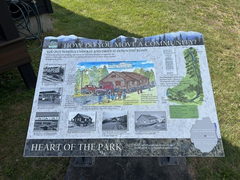
Town of Newcomb residents are not intimidated by monumental undertakings.
(Lower Right Inset: )Newcomb
Traditional hunting grounds of Mohawk and Algonquin peoples
First Permanent Settlement 1808
Township Incorporated 1828
Land Area - 233.2 Square Mile
You Put Wheels Under It And Drive It Down The Road!
When the titanium mining operation at Tahawus needed to expand, the entire community was loaded on trucks and moved to a new place named Winebrook Hills
The buildings followed the Hudson from Tahawus to Winebrook Hills, a distance of 9.5 miles, even catching the attention of The New York Times.
(main image:)
St. Barbara's Church, formerly the Seely Camp, being moved to Newcomb. This was the second move in the building's history.
Wires crossing the road were temporarily disconnected until buildings passed.
The trucks rolled along at the pace of a walk, being watched by workers for any obstacles.
Most of the buildings were moved intact, including the masonry fireplaces, chimneys, and porches.
Spectators gathered to watch the parade of buildings.
One by one, the buildings were pulled down the road
this page online
By The Numbers
Largest Building: 128' x 20’
Time to Move a Building: 100 Minutes
Buildings Moved: 77
Wires Raised or Lowered: 33
Total Time to Move the Community: 9 Months
( Photo Captions, starting top left: )
The Moving Process
1. Apartment building jacked up and supported by piers.
2. Heavy beams and trolleys in place and ready to roll!
3. Apartment building crossing the bridge over the Hudson River.
- Single family house waiting to move.
- One of the houses crossing the Hudson River. St. Therese Church and Sweet's store in the right background
- One of the houses being set on a new foundation in Winebrook Hills.
Topics. This historical marker is listed in this topic list: Settlements & Settlers. A significant historical year for this entry is 1808.
Location. 43° 57.424′ N, 74° 6.263′ W. Marker is in Newcomb, New York, in Essex County. It is at the intersection of Adams Lane and New York State Route 28N, on the right when traveling south on Adams Lane. Touch for map. Marker is in this post office area: Newcomb NY 12852, United States of America. Touch for directions.

Regionally,
Photographed by Steve Stoessel, July 12, 2026
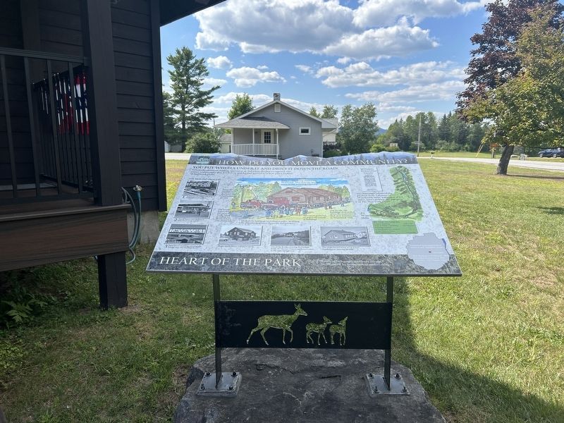
2. Heart of the Park Marker
Other nearby markers. At least 8 other markers are within 3 miles of this marker, measured as the crow flies: Heart Of The Park (here, next to this marker); Theodore Roosevelt (within shouting distance of this marker); Camp Santanoni (within shouting distance of this marker); Newcomb Campus (within shouting distance of this marker); Newcomb Vietnam Memorial (within shouting distance of this marker); Rist Mountain (about 300 feet away, measured in a direct line); The Roosevelt-Marcy Memorial Highway (approx. 1.9 miles away); a different marker also named Theodore Roosevelt (approx. 3.1 miles away). Touch for a list and map of all markers in Newcomb.
Another marker is no longer nearby. History and Culture
Photographed by Steve Stoessel, July 12, 2026
3. Heart of the Park Marker
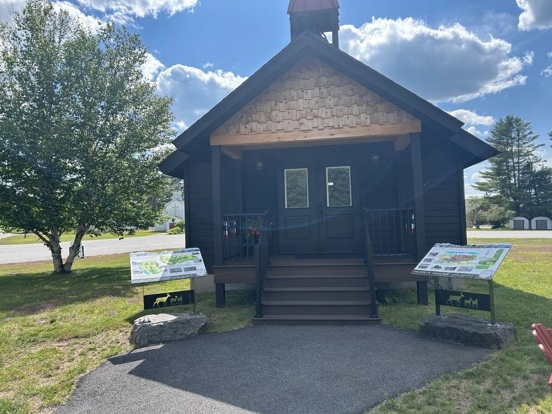
The marker on the right is "How to Move a Community " marker
Also see . . . Tahawus Video. (Submitted on July 16, 2026, by Steve Stoessel of Niskayuna, New York.)
Credits. This page was last revised on July 22, 2026. It was originally submitted on July 16, 2026, by Steve Stoessel of Niskayuna, New York. This page has been viewed 13 times since then. Photos: 1, 2, 3. submitted on July 16, 2026, by Steve Stoessel of Niskayuna, New York.
