Mulmur in Dufferin County, Ontario — Central Canada (North America)
The Corbetton Church
St. James United
Photographed by Tim Boyd, July 12, 2026
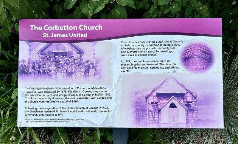
1. The Corbetton Church Marker
Following the inauguration of the United Church of Canada in 1925, the church was renamed St. James United, and continued to serve its community until closing in 1997.
Rural churches once served a vital role as the hub of their community. In addition to being a place of worship, they supported community well-being, by providing a space for meetings, work bees and social events.
In 1999, the church was relocated to its present location and restored. The church is now used for museum, community and private events.
Topics. This historical marker is listed in this topic list: Religion & Religious Structures. A significant historical year for this entry is 1875.
Location. 44° 7.094′ N, 80° 1.554′ W. Marker is in Mulmur, Ontario, in Dufferin County. It is at the intersection of Airport Road and Highway 89, on the right
this page online

Regionally, this marker is in the York, Durham and Headwaters Area, and in Southwestern Ontario. It is also in Central Canada. Globally, it is in North America, the Western Hemisphere, the Western World, and the Anglosphere. Historically, it finds itself in what was once a British colony, the Viceroyalty of New France, the Haudenosaunee (Iroquois) Confederacy, and Rupert’s Land.
Other nearby markers. At least 8 other markers are within 13 kilometers of this marker, measured as the crow flies: Historic Corbetton Church Building (here, next to this marker); Building Dufferin (about 90 meters away, measured in a direct line); The Hand Family of Stanton (about 90 meters away); The County of Dufferin (about 150 meters away); Windmill (about 210 meters away); Relessey (approx. 7.8 kilometers away); Relessey (Maguire’s Corners) (approx. 7.8 kilometers away); The Fountain/The Alliston Jail
Photographed by Tim Boyd, July 12, 2026
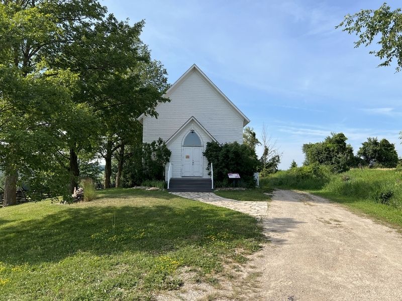
2. The Corbetton Church Marker
Photographed by Tim Boyd, July 12, 2026
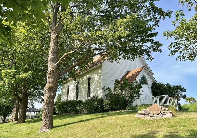
3. The Corbetton Church at the Dufferin Museum in 2026
Credits. This page was last revised on July 17, 2026. It was originally submitted on July 17, 2026, by Tim Boyd of Hamilton, Ontario. This page has been viewed 20 times since then. Photos: 1, 2, 3. submitted on July 17, 2026, by Tim Boyd of Hamilton, Ontario. • Andrew Ruppenstein was the editor who published this page.
