Mulmur in Dufferin County, Ontario — Central Canada (North America)
Building Dufferin
Quarries

Photographed by Tim Boyd, July 12, 2026
1. Building Dufferin Marker
In 1856, the Nottawasaga Stone Quarry began operations. It was often called the Nicholson Stone Quarry, after owner and stone mason George Nicholson. Located at Hockley Valley Road and Hurontario Street in Mono Township, the quarry operated until 1925.
In 1879, the Shelburne Stone Quarry began its operations just east of Shelburne. It was commonly known as the Hall Stone Quarry, after the original property owner, William Hall. The quarry ceased operations in 1930.
Did you know? Stone from Hall's Quarry was used locally in the construction of the Orangeville Post Office (see right) and Orangeville Hotel.
Much of the highly-prized limestone was taken out of the county by train. It was used in the construction of Toronto's Old City Hall, the Parliament buildings at Queen's Park, buildings at Exhibition Park, and the Oxford County municipal building.
In recent years, the opening of new quarries has been met with opposition in favour of natural
this page online
Topics. This historical marker is listed in these topic lists: Architecture • Industry & Commerce. A significant historical year for this entry is 1856.
Location. 44° 7.057′ N, 80° 1.593′ W. Marker is in Mulmur, Ontario, in Dufferin County. It is on Airport Road 0.2 kilometers north of Highway 89, on the right when traveling north. The marker can be accessed from the road, but is on the grounds of the Dufferin Museum. Touch for map. Marker is at or near this postal address: 936029 Airport Road, Mulmur ON L0N 1R0, Canada. Touch for directions.

Regionally, this marker is in the York, Durham and Headwaters Area, and in Southwestern Ontario. It is also in Central Canada. Globally, it is in North America, the Western Hemisphere, the Western World, and the Anglosphere. Historically, it finds itself in what was once a British colony, the Viceroyalty of New France, the Haudenosaunee (Iroquois) Confederacy, and Rupert’s Land.
Other nearby markers. At least 8 other markers are within 13 kilometers of this marker, measured as the crow flies: The Hand Family of Stanton (a few steps from this

Photographed by Tim Boyd, July 21, 2026
2. Building Dufferin Marker
Facing southwest
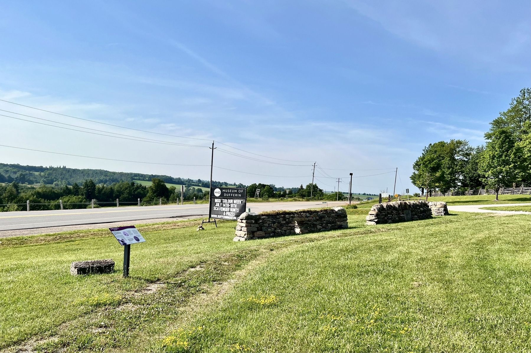
Photographed by Tim Boyd, July 21, 2026
3. Building Dufferin Marker
Facing north
Credits. This page was last revised on July 18, 2026. It was originally submitted on July 17, 2026, by Tim Boyd of Hamilton, Ontario. This page has been viewed 8 times since then. Photos: 1, 2, 3. submitted on July 17, 2026, by Tim Boyd of Hamilton, Ontario. • Andrew Ruppenstein was the editor who published this page.
