Mulmur in Dufferin County, Ontario — Central Canada (North America)
The Hand Family of Stanton
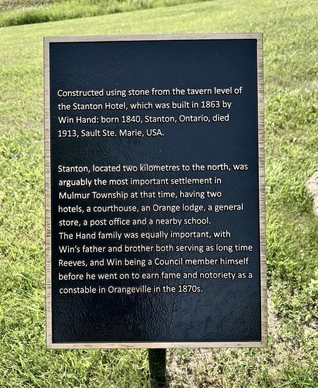
Photographed by Tim Boyd, July 12, 2026
1. The Village of Stanton Marker
Stanton, located two kilometres to the north, was arguably the most important settlement in Mulmur Township at that time, having two hotels, a courthouse, an Orange lodge, a general store, a post office and a nearby school. The Hand family was equally important, with Win's father and brother both serving as long time Reeves, and Win being a Council member himself before he went on to earn fame and notoriety as a constable in Orangeville in the 1870s.
Topics. This historical marker is listed in this topic list: Settlements & Settlers. A significant historical year for this entry is 1863.
Location. 44° 7.046′ N, 80° 1.596′ W. Marker is in Mulmur, Ontario, in Dufferin County. It is on Airport Road 0.2 kilometers north of Highway 89, on the right when traveling north. The marker is accessible from the road, but is on the grounds of the Dufferin Museum. Touch for map. Marker is at or near this postal address: 936029 Airport Road, Mulmur ON L0N 1R0, Canada.
this page online

Regionally, this marker is in the York, Durham and Headwaters Area, and in Southwestern Ontario. It is also in Central Canada. Globally, it is in North America, the Western Hemisphere, the Western World, and the Anglosphere. Historically, it finds itself in what was once a British colony, the Viceroyalty of New France, the Haudenosaunee (Iroquois) Confederacy, and Rupert’s Land.
Other nearby markers. At least 8 other markers are within 13 kilometers of this marker, measured as the crow flies: Building Dufferin (a few steps from this marker); The County of Dufferin (within shouting distance of this marker); Historic Corbetton Church Building (about 90 meters away, measured in a direct line); The Corbetton Church (about 90 meters away); Windmill (about 150 meters away); Relessey (approx. 7.7 kilometers away); Relessey (Maguire’s Corners) (approx. 7.7 kilometers away); The Fountain/The Alliston Jail (approx. 12.6 kilometers away). Touch for a list and map of all markers in Mulmur.
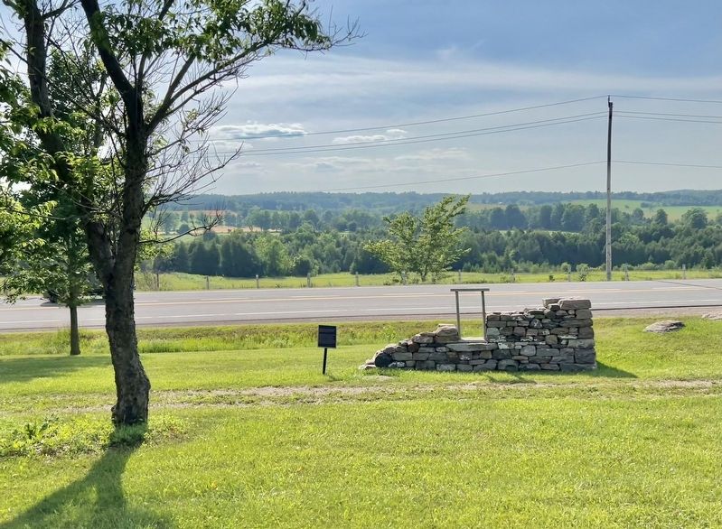
Photographed by Tim Boyd, July 21, 2026
2. The Hand Family of Stanton Marker
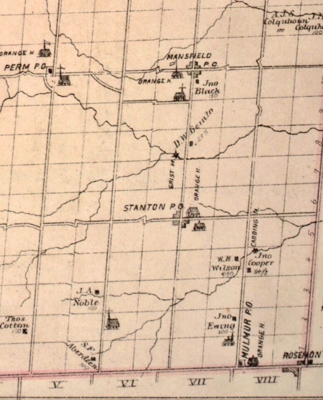
3. Stanton and area in 1880
Source: McGill University (public domain)
Credits. This page was last revised on July 18, 2026. It was originally submitted on July 17, 2026, by Tim Boyd of Hamilton, Ontario. This page has been viewed 9 times since then. Photos: 1, 2, 3. submitted on July 17, 2026, by Tim Boyd of Hamilton, Ontario. • Andrew Ruppenstein was the editor who published this page.
