Near Colonial Beach in Westmoreland County, Virginia — The American South (Mid-Atlantic)
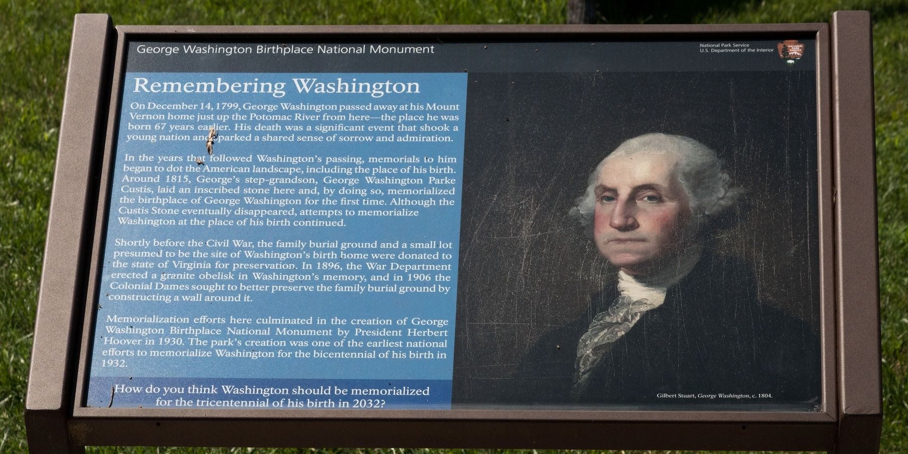
Remembering Washington
George Washington Birthplace National Monument
| — | National Park Service, U.S. Department of the Interior | — |
Photographed by J. J. Prats, July 13, 2026
1. Remembering Washington Marker
In the years that followed Washington’s passing, memorials to him began to dot the American landscape, including the place of his birth. Around 1815, George’s step-grandson, George Washington Parke Custis, laid an inscribed stone here and, by doing so, memorialized the birthplace of George Washington for the first time. Although the Custis Stone eventually disappeared, attempts to memorialize Washington at the place of his birth continued.
Shortly before the Civil War, the family burial ground and a small lot presumed to be the site of Washington’s birth home were donated to the state of Virginia for preservation. In 1896, the War Department erected a granite obelisk in Washington’s memory, and in 1906 the Colonial Dames sought to better preserve the family burial ground by constructing a wall around it.
Memorialization efforts here culminated
this page online
How do you think Washington should be memorialized for the tricentennial of his birth in 2032?
Erected by National Park Service, U.S. Department of the Interior.
Topics. This historical marker is listed in these topic lists: Heroes • Patriots & Patriotism. A significant historical date for this entry is December 14, 1799.
Location. 38° 11.02′ N, 76° 55.082′ W. Marker is near Colonial Beach, Virginia, in Westmoreland County. It can be reached from Popes Creek Road (Virginia Route 204) 1.9 miles Kings Highway ( Route 3). Touch for map. Marker is at or near this postal address: 1730 Popes Creek Rd, Colonial Beach VA 22443, United States of America. Touch for directions.

Regionally, this marker is on Virginia’s Northern Neck. It is also in the American South, specifically in the Upper South, in the Tidewater, in the Chesapeake Bay Region, and on the Eastern Seaboard. Globally, it is in the North

Photographed by J. J. Prats, July 13, 2026
2. Remembering Washington Marker
Other nearby markers. At least 8 other markers are within walking distance of this marker: The First People Here (within shouting distance of this marker); Explore a trail network (within shouting distance of this marker); War in the Chesapeake (within shouting distance of this marker); “O! say can you see…” (within shouting distance of this marker); Free to Fight (within shouting distance of this marker); The Tidewater Gentry (about 400 feet away, measured in a direct line); Significance of a Birthplace (approx. 0.2 miles away); Dairy (approx. 0.2 miles away). Touch for a list and map of all markers in Colonial Beach.
Other markers no longer nearby. The Historic Area (was within shouting distance of this marker but has been permanently removed); George Washington Birthplace Site (was within shouting distance of this marker but has been permanently removed); Popes Creek Plantation (was about 500 feet away but has been permanently removed); George Washington’s Birthplace (was about 700 feet away but has been permanently removed); Archeology at Popes Creek (was about 800 feet away but has been permanently removed); The Memorial Area (was approx. 0.2 miles away but has been permanently removed).
More about this marker. This interpretive panel is illustrated with Gilbert Stuart’s portrait, George Washington, painted circa 1804.
Credits. This page was last revised on July 29, 2026. It was originally submitted on July 18, 2026, by J. J. Prats of Powell, Ohio. This page has been viewed 10 times since then. Photos: 1, 2. submitted on July 18, 2026, by J. J. Prats of Powell, Ohio.
