Punxsutawney in Jefferson County, Pennsylvania — The American Northeast (Mid-Atlantic)
Industrial Development

Photographed by Mark Parker, July 16, 2026
1. Industrial Development Marker
The Walston Mine had been opened in advance of the arrival of the railroad. Shown are #1 and #3 Shafts and on the hill is company housing for miners. In 1887 the Pennsylvania and Northwestern Railroad was open to serve mines at Horatio operated by Berwind White Company.
Punxsutawney became the hub for industrialization, supporting the rise of banking, transportation, commercial development and health care.
By 1916 Punxsutawney had a population of 10,000 in the borough and another 20,000 in coal towns within five miles which made it eligible for a federal post office building.
With the growth of the coal industry the quality of life in Punxsutawney improved. The Public Square was turned into a central park, and physical fitness was promoted through the development of the YMCA.
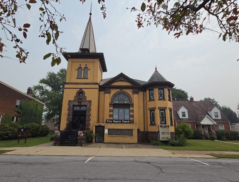
The Soldiers' Memorial Bandstand provided a place for entertainment. Local and famous musicians have performed concerts in the park. The Baptist Church was relocated to Union Street, in
this page online
The Eagles Aerie #1231 was established on East Mahoning Street in 1937 when these buildings and the parking area were north of the public square. During Urban Renewal in the 1970s the parking area was transitioned to green space where a groundhog glockenspiel and fountain exist today.
Coke ovens at Walston were at one time a major tourist attraction. They lit up the night and were compared to "Dante's Vision of Hades." In 1890 it was estimated there were 1700 coke ovens operating in the Punxsutawney Area.
Miners, who worked underground, developed a symbiotic relationship with the Punxsutawney Groundhog. They both spent a great deal of time tunneling underground. These miners are in a coal seam at the Onandago Mine near Punxsutawney.
Erected by Punxsutawney Area Historical & Geological Society, Inc.
Topics. This historical marker is listed in these topic lists: Industry & Commerce • Railroads & Streetcars. A significant historical date for this entry is September 3, 1883.
Location. 40° 56.632′ N, 78° 58.077′ W. Marker is in Punxsutawney, Pennsylvania, in Jefferson County. It is at the intersection of East Union Street and Merchants
Photographed by Mark Parker, July 16, 2026
2. Industrial Development Marker
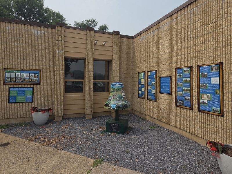
Location is the second marker from the right.

Regionally, this marker is in the Pennsylvania Wilds. It is also in the American Northeast, in the Mid-Atlantic, in Appalachia, and specifically in Northern Appalachia. Globally, it is in North America, the Western Hemisphere, the Western World, and the Anglosphere. Historically, it finds itself in what was once the Haudenosaunee (Iroquois) Confederacy and also one of the original Thirteen Colonies.
Other nearby markers. At least 8 other markers are within walking distance of this marker: Modern Punxsutawney (here, next to this marker); Before the Revolutionary War (here, next to this marker); Early Settlement in Punxsutawney (here, next to this marker); "Punxsutawney Seasons" (here, next to this marker); Punxsutawney (a few steps from this marker); SFC Scott R. Smith (within shouting distance of this
Photographed by Mark Parker, July 16, 2026
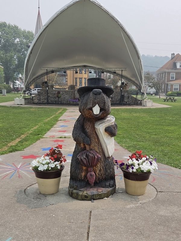
3. The Soldiers Memorial Bandstand in the background, as mentioned in the marker.
One of the groundhog statues in the front.
More about this marker. The numbers on the marker are locations of groundhog statues placed around the Punxsutawney Area.
Photographed by Mark Parker, July 16, 2026
4. First Baptist Church Punxsutawney, as mentioned in the marker
Credits. This page was last revised on August 1, 2026. It was originally submitted on July 19, 2026, by Mark Parker of Hickory, North Carolina. This page has been viewed 22 times since then. Photos: 1, 2, 3, 4. submitted on July 19, 2026, by Mark Parker of Hickory, North Carolina. • Andrew Ruppenstein was the editor who published this page.
