Dublin in Huron East in Huron County, Ontario — Central Canada (North America)
St. Columban Church
Est. 1832
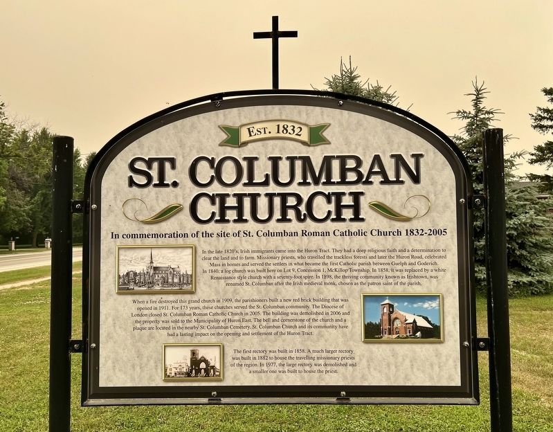
| — | In commemoration of the site of St. Columban Roman Catholic Church 1832-2005 | — |
Photographed by Tim Boyd, July 15, 2026
1. St. Columban Church Marker
In the late 1820's, Irish immigrants came into the Huron Tract. They had a deep religious faith and a determination to clear the land and to farm. Missionary priests, who travelled the trackless forests and later the Huron Road, celebrated Mass in homes and served the settlers in what became the first Catholic parish between Guelph and Goderich. In 1840, a log church was built here on Lot 9, Concession 1, McKillop Township. In 1858, it was replaced by a white Renaissance style church with a seventy-foot spire. In 1898, the thriving community known as Irishtown, was renamed St. Columban after the Irish medieval monk, chosen as the patron saint of the parish.
When a fire destroyed this grand church in 1909, the parishioners built a new red brick building that was opened in 1911. For 173 years, these churches served the St. Columban community. The Diocese of London closed St. Columban Roman Catholic Church in 2005. The building was demolished in 2006 and the property was sold to the Municipality of Huron East. The bell and cornerstone of the church and a plaque are located in the nearby St. Columban Cemetery. St. Columban
this page online
The first rectory was built in 1858. A much larger rectory was built in 1882 to house the travelling missionary priests of the region. In 1977, the large rectory was demolished and a smaller one was built to house the priest.
Topics. This historical marker is listed in these topic lists: Religion & Religious Structures • Settlements & Settlers. A significant historical year for this entry is 1840.
Location. 43° 31.388′ N, 81° 19.377′ W. Marker is in Huron East, Ontario, in Huron County. It is in Dublin. It is on Huron Road (Perth Line 34) 0.1 kilometers west of Beechwood Line, on the right when traveling west. Touch for map. Marker is at or near this postal address: 44098 Perth Line 34, Huron East ON N0K 1E0, Canada. Touch for directions.

Regionally, this marker is in the Huron-Perth-Waterloo-Wellington Area and in Southwestern Ontario. It is also in Central Canada. Globally, it is in North America, on the Great Lakes, in the Western Hemisphere, in the Western World, and in the Anglosphere. Historically, it finds
Photographed by Tim Boyd, July 15, 2026
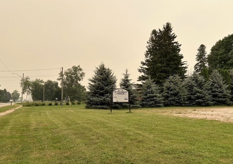
2. St. Columban Church Marker
facing west
Other nearby markers. At least 8 other markers are within 13 kilometers of this marker, measured as the crow flies: Hon. William Aberhart 1878-1943 (approx. 6.4 kilometers away); Seaforth Cenotaph (approx. 6.5 kilometers away); The Founding of Seaforth (approx. 6.5 kilometers away); Seaforth Firefighters (approx. 6.6 kilometers away); The Van Egmond House (approx. 6.9 kilometers away); Colonel Anthony Van Egmond (approx. 7 kilometers away); Reverend William Graham (approx. 7.1 kilometers away); “Howie” Morentz 1902-1937 (approx. 11.6 kilometers away). Touch for a list and map of all markers in Huron East.
Credits. This page was last revised on July 21, 2026. It was originally submitted on July 20, 2026, by Tim Boyd of Hamilton, Ontario. This page has been viewed 29 times since then. Photos: 1, 2. submitted on July 20, 2026, by Tim Boyd of Hamilton, Ontario. • Andrew Ruppenstein was the editor who published this page.
